Coloma in Berrien County, Michigan — The American Midwest (Great Lakes)
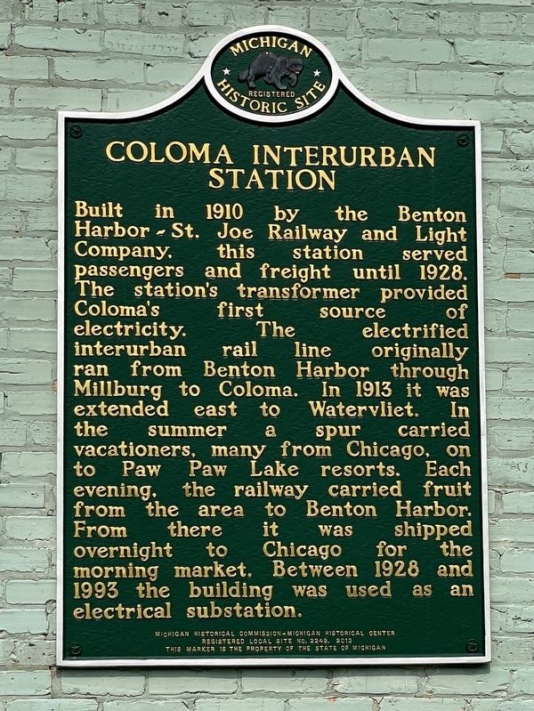
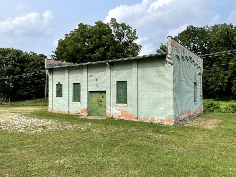
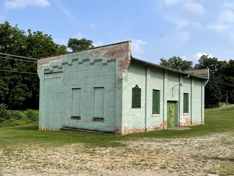
Coloma Interurban Station
The station’s transformer provided Coloma’s first source of electricity. The electrified interurban rail line originally ran from Benton Harbor through Millburg to Coloma. In 1913 it was extended east to Watervliet. In the summer a spur carried vacationers, many from Chicago, on to Paw Paw Lake resorts. Each evening, the railway carried fruit from the area to Benton Harbor. From there it was shipped overnight to Chicago for the morning market. Between 1928 and 1993 the building was used as an electrical substation.
Erected 2013 by Michigan Historical Commission - Michigan Historical Center. (Marker Number L2249.)
Topics and series. This historical marker is listed in this topic list: Railroads & Streetcars. In addition, it is included in the Michigan Historical Commission series list. A significant historical year for this entry is 1910.
Location. 42° 11.093′ N, 86° 18.272′ W. Marker is in Coloma, Michigan, in Berrien County. Marker is on South Paw Paw Street, 0.1 miles north of East St. Joseph Street, on the right when traveling north. Mounted to the west facing exterior wall of the building. Touch for map. Marker is at or near this postal address: 217 S Paw Paw St, Coloma MI 49038, United States of America. Touch for directions.
Other nearby markers. At least 8 other markers are within 9 miles of this marker, measured as the crow flies. Baker Park (about 800 feet away, measured in a direct line); Benton Harbor Fruit Market (approx. 7 miles away); The Fruit Belt (approx. 7 miles away); Covert Library (approx. 7.9 miles away); Covert World War II Memorial (approx. 7.9 miles away); Israelite House of David / Mary's City of David (approx. 8.3 miles away); The Historic District of Mary's City of David (approx. 8.3 miles away); Morton Cemetery (approx. 8.4 miles away).
Credits. This page was last revised on October 18, 2021. It was originally submitted on October 17, 2021, by John Garman of Rochester Hills. This page has been viewed 295 times since then and 27 times this year. Photos: 1, 2, 3. submitted on October 17, 2021, by John Garman of Rochester Hills. • Mark Hilton was the editor who published this page.


