Johnson City in Carter County, Tennessee — The American South (East South Central)
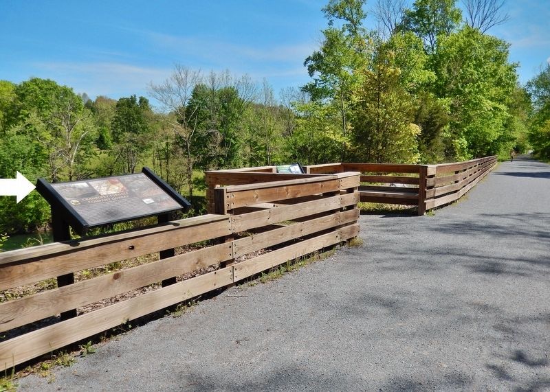
Cranberry Furnace Company Quarry
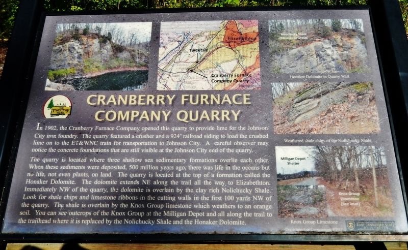
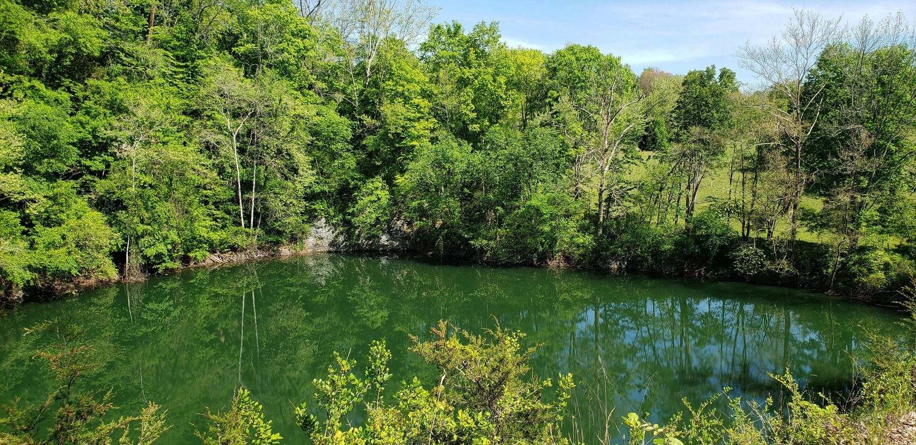
In 1902, the Cranberry Furnace Company opened this quarry to provide lime for the Johnson City iron foundry. The quarry featured a crusher and a 924' railroad siding to load the crushed lime on to the ET&WNC train for transportation to Johnson City. A careful observer may notice the concrete foundations that are still visible at the Johnson City end of the quarry.
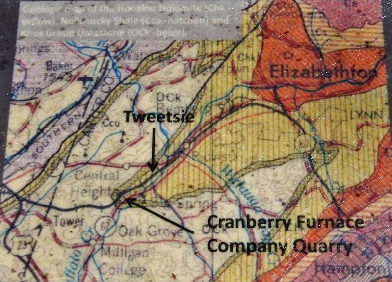
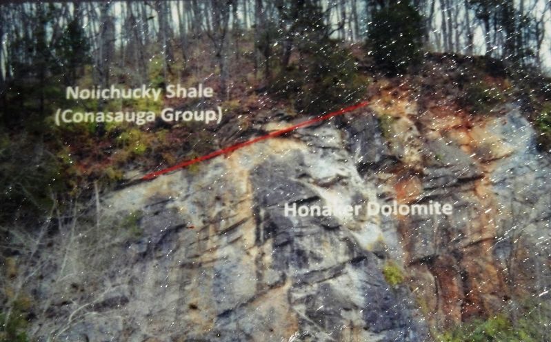
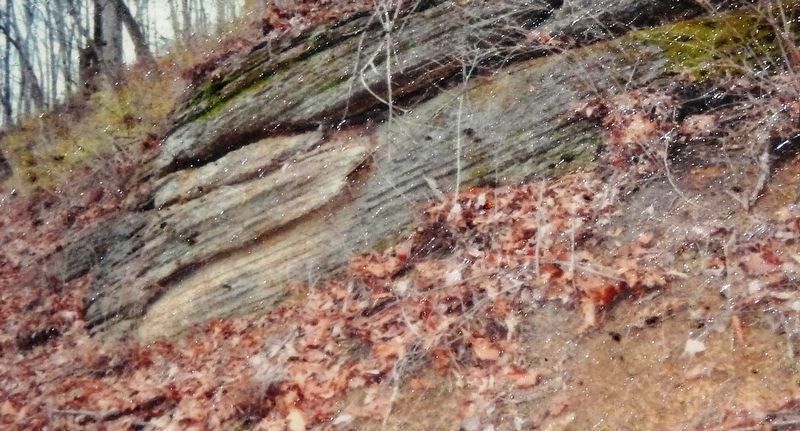
The quarry is located where three shallow sea sedimentary formations overlie each other. When these sediments were deposited, 500 million years ago, there was life in the oceans but no life, not even plants, on land. The quarry is located at the top of a formation called the Honaker Dolomite. The dolomite extends NE along the trail all the way to Elizabethton. Immediately NW of the quarry, the dolomite is overlain by the clay rich Nolichucky Shale. Look for shale chips and limestone ribbons in the cutting walls in the first 100 yards NW of the quarry. The shale is overlain by the Knox Group limestone which weathers to an orange soil. You can see outcrops of the Knox Group at the Milligan Depot and all along the trail to the trailhead where it is replaced by the Nolichucky Shale and the Honaker Dolomite.
—Department of Geosciences, East Tennessee State University
Erected by Department of Geosciences, East Tennessee State University.
Topics. This historical marker is listed in these topic lists: Industry & Commerce • Railroads & Streetcars. A significant historical year for this entry is 1902.
Location. 36° 18.841′ N, 82° 17.35′ W. Marker is in Johnson City, Tennessee, in Carter County. Marker can be reached from Happy Valley Road just north of Milligan Highway (Tennessee Route 359), on the left when traveling north. Marker is located on the Tweetsie Trail, ¼ mile southwest of Happy Valley Road. Touch for map. Marker is in this post office area: Johnson City TN 37601, United States of America. Touch for directions.
Other nearby markers. At least 8 other markers are within walking distance of this marker. Constructing a Mountain Railroad (within shouting distance of this marker); Hauling Ore from the Cranberry Mine (within shouting distance of this marker); Milligan Depot (approx. 0.3 miles away); Powder Branch (approx. 0.6 miles away); Gandy Dancers (approx. 0.6 miles away); The Tennessee Tweetsie in Hollywood (approx. 0.6 miles away); Mary Patton's Powder Mill (approx. 0.7 miles away); Milligan College (approx. 0.9 miles away). Touch for a list and map of all markers in Johnson City.
More about this marker. Access to this marker is via bicycle or foot on the Tweetsie Trail.
Also see . . . Carnegie (Cranberry) Furnace. The Carnegie Furnace was renamed the Cranberry Furnace and put into blast in the spring of 1902. Coke
for the furnace was brought in over the Virginia & Southwestern Railroad to Elizabethton then shipped by way of the ET&WNC to the furnace in Johnson City. Limestone was brought from a new quarry located near Happy Valley, next to the ET&WNC main line. Shipments of these products were to be the economic backbone of the railroad for the next two decades. (Submitted on October 19, 2021, by Cosmos Mariner of Cape Canaveral, Florida.)
Credits. This page was last revised on October 19, 2021. It was originally submitted on October 19, 2021, by Cosmos Mariner of Cape Canaveral, Florida. This page has been viewed 473 times since then and 56 times this year. Photos: 1, 2, 3, 4, 5, 6. submitted on October 19, 2021, by Cosmos Mariner of Cape Canaveral, Florida.
