Johnson City in Carter County, Tennessee — The American South (East South Central)
Constructing a Mountain Railroad
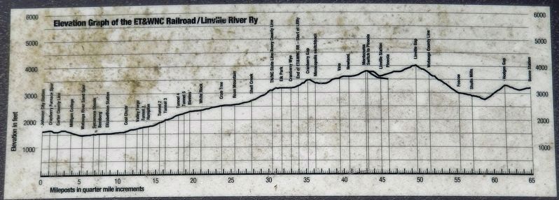
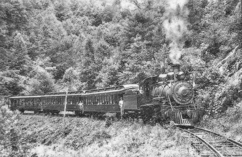
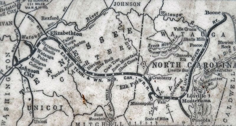
Railroads were a major force in developing southern Appalachia, bringing jobs, commerce, industry, and transportation to local communities. However, the mountainous terrain presented unique challenges to their construction. The East Tennessee and Western NC Railroad (ETWNC, or "Tweetsie") was originally built to connect Johnson City with the Cranberry iron mine in NC. Although first chartered in 1866, the line from Johnson City to Cranberry was not completed until 1882. Constructed through one of the most rugged landscapes in the eastern US, the railroad had to climb nearly 2000 feet in elevation to Cranberry, crossing several gorges and requiring five tunnels. The construction of the railroad thus entailed large amounts of labor and material. The nearby Cranberry Furnace quarry was an important source of limestone used in constructing and maintaining the railroad.
—Department of Appalachian Studies, East Tennessee State University
Erected by Department of Appalachian Studies, East Tennessee State University.
Topics. This historical marker is listed in these topic lists: Industry & Commerce • Railroads & Streetcars. A significant historical year for this entry is 1866.
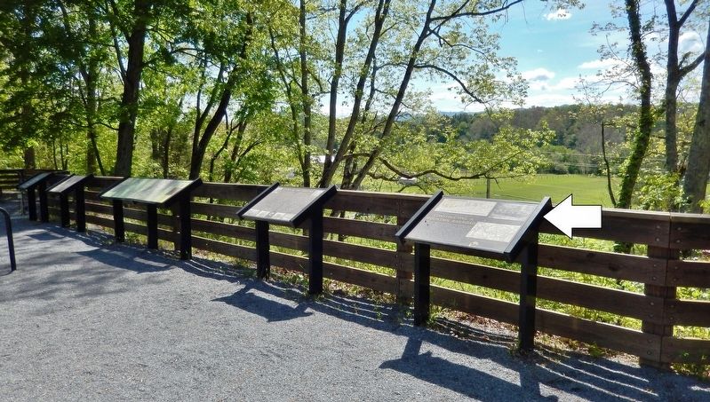
Location. 36° 18.848′ N, 82° 17.336′ W. Marker is in Johnson City, Tennessee, in Carter County. Marker can be reached from Happy Valley Road just north of Milligan Highway (Tennessee Route 359), on the left when traveling north. Marker is located on the Tweetsie Trail, ¼ mile southwest of Happy Valley Road. Touch for map. Marker is in this post office area: Johnson City TN 37601, United States of America. Touch for directions.
Other nearby markers. At least 8 other markers are within walking distance of this marker. Hauling Ore from the Cranberry Mine (a few steps from this marker); Cranberry Furnace Company Quarry (within shouting distance of this marker); Milligan Depot (approx. 0.3 miles away); Powder Branch (approx. 0.6 miles away); Gandy Dancers (approx. 0.6 miles away); The Tennessee Tweetsie in Hollywood (approx. 0.6 miles away); Mary Patton's Powder Mill (approx. 0.7 miles away); Milligan College (approx. 0.9 miles away). Touch for a list and map of all markers in Johnson City.
More about this marker. Access to this marker is via bicycle or foot on the Tweetsie Trail.
Also see . . .
1. East Tennessee & Western North Carolina Railroad. What ultimately spurred the development of this classic line was the need to move raw materials, such as timber and iron, out of the mountains and to market. Despite its remote nature the ET&WNC had multiple connections to larger, Class I systems. While the ET&WNC did have grades as high as 3% and 4% overall it was
masterfully engineered line designed by engineer Thomas Matson. (Submitted on October 19, 2021, by Cosmos Mariner of Cape Canaveral, Florida.)
2. East Tennessee & Western North Carolina Railroad (ET&WNC). To navigate the difficult Blue Ridge Mountain terrain, the road was built to a "narrow" gauge design of 3-feet rail widths rather than the American standard gauge rail width almost two feet wider. The trip featured incredible scenic beauty and the railway was completed by Pennsylvania-based financier Ario Pardee. (Submitted on October 19, 2021, by Cosmos Mariner of Cape Canaveral, Florida.)
Credits. This page was last revised on October 19, 2021. It was originally submitted on October 19, 2021, by Cosmos Mariner of Cape Canaveral, Florida. This page has been viewed 252 times since then and 34 times this year. Photos: 1, 2, 3, 4, 5. submitted on October 19, 2021, by Cosmos Mariner of Cape Canaveral, Florida.


