Near Kensington in Montgomery County, Maryland — The American Northeast (Mid-Atlantic)
Baltimore and Ohio Railroad Bridge Abutment

Photographed By Devry Becker Jones (CC0), October 23, 2021
1. Baltimore and Ohio Railroad Bridge Abutment Marker
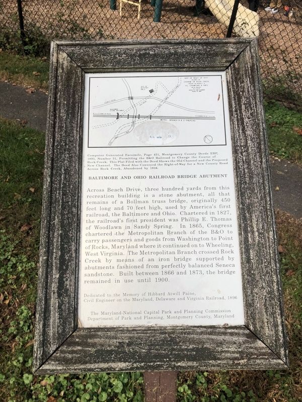
Across Beach Drive, three hundred yards from this recreation building is a stone abutment, all that remains of a Bollman truss bridge, originally 450 feet long and 70 feet high, used by America's first railroad, the Baltimore and Ohio. Chartered in 1827, the railroad's first president was Phillip E. Thomas of Woodlawn in Sandy Spring. In 1865, Congress chartered the Metropolitan Branch of the B&O to carry passengers and goods from Washington to Point of Rocks, Maryland where it continued on to Wheeling, West Virginia. The Metropolitan Branch crossed Rock Creek by means of an iron bridge supported by abutments fashioned from perfectly balanced Seneca sandstone. Built between 1866 and 1873, the bridge remained in use until 1900.
Dedicated to the memory of Hibbard Atwill Paine, Civil Engineer on the Maryland, Delaware and Virginia Railroad, 1896
[Caption:]
Computer generated facsimile, Page 451, Montgomery County Deeds EBP, 1893, Number 31, permitting the B&O Railroad to change the course of Rock Creek. This plat filed with the deed shows the old channel and the proposed new channel. The deed also conveyed the right-of-way for a new county road across Rock Creek, abandoned by 1916.
Erected by the Maryland-National Capital Park and Planning Commission, Department of Park and Planning, Montgomery County, Maryland.
Topics and series. This historical marker is listed in these topic lists: Bridges & Viaducts • Railroads & Streetcars. In addition, it is included in the Baltimore and Ohio Railroad (B&O) series list. A significant historical year for this entry is 1827.
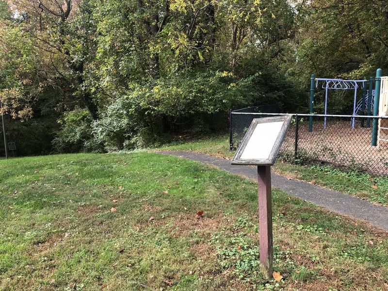
Location. 39° 2.002′ N, 77° 5.038′ W. Marker is near Kensington, Maryland, in Montgomery County. Marker can be reached from Beach Drive, 0.3 miles north of Knowles Avenue (Maryland Route 547), on the right when traveling north. The marker stands on the grounds of Ken-Gar Palisades Park. Touch for map. Marker is at or near this postal address: 4140 Beach Dr, Kensington MD 20895, United States of America. Touch for directions.
Other nearby markers. At least 8 other markers are within walking distance of this marker. Newport Mills (within shouting distance of this marker); 9-11 Memorial • KVFD (approx. half a mile away); Photos of Historic Kensington (approx. half a mile away); Garrett Park, MD (approx. 0.6 miles away); Garrett Park, Md. (approx. 0.6 miles away); Garrett Park Waiting Room (approx. 0.6 miles away); Veterans Memorial (approx. 0.7 miles away); Clum-Kennedy Park (approx. 0.9 miles away). Touch for a list and map of all markers in Kensington.

Photographed By Devry Becker Jones (CC0), October 23, 2021
2. Baltimore and Ohio Railroad Bridge Abutment Marker
Credits. This page was last revised on October 23, 2021. It was originally submitted on October 23, 2021, by Devry Becker Jones of Washington, District of Columbia. This page has been viewed 283 times since then and 35 times this year. Photos: 1, 2. submitted on October 23, 2021, by Devry Becker Jones of Washington, District of Columbia.