Near Lost Creek in Barbour County, West Virginia — The American South (Appalachia)
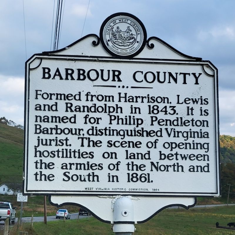
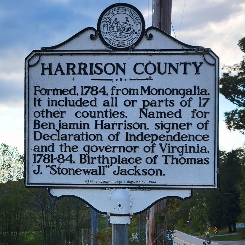
Barbour County / Harrison County
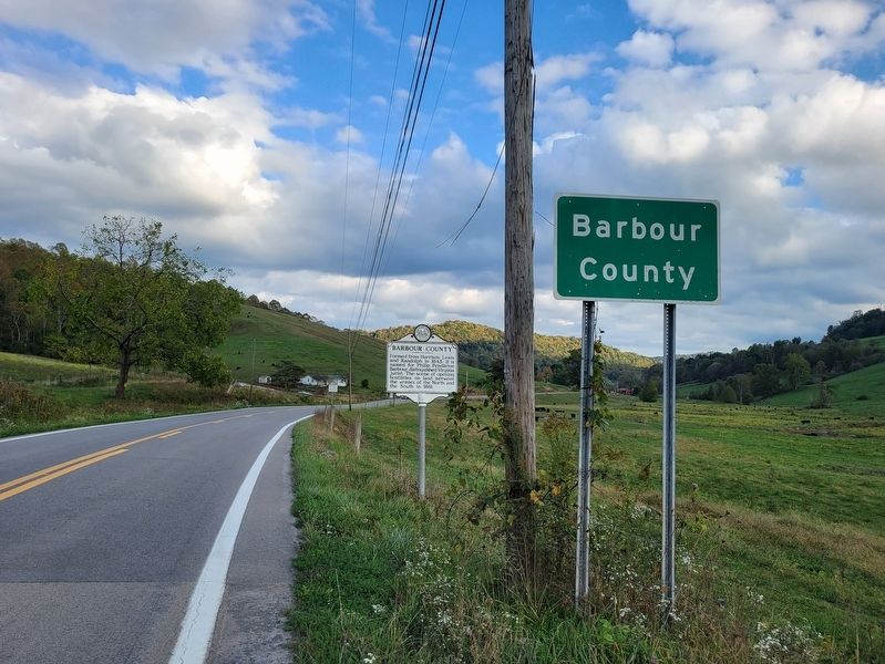
Barbour County. Formed from Harrison, Lewis and Randolph in 1843. It is named for Philip Pendleton Barbour, distinguished Virginia jurist. The scene of opening hostilities on land between the armies of the North and the South in 1861.
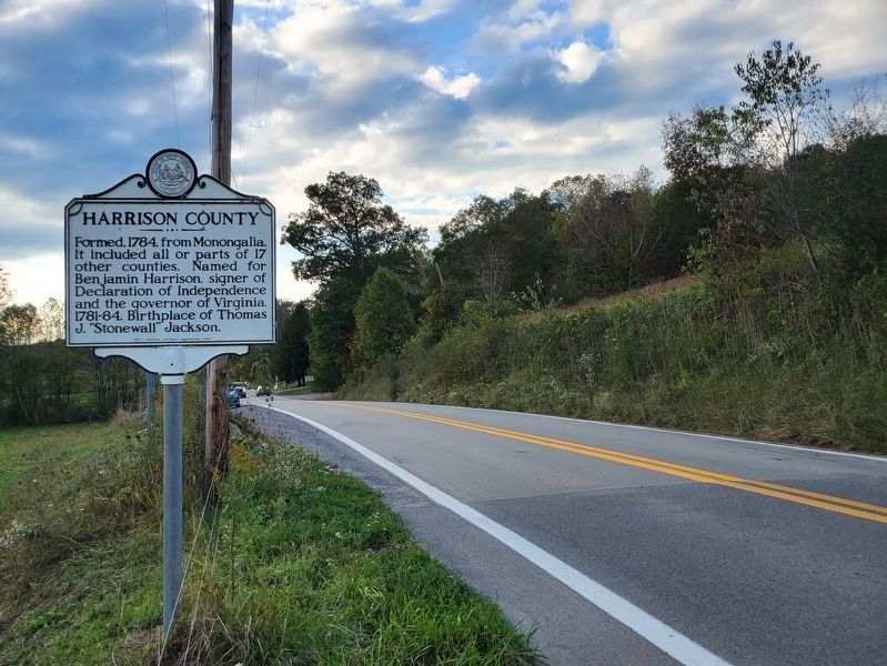
Harrison County. Formed, 1784, from Monongalia. It included all or parts of 17 other counties. Named for Benjamin Harrison, signer of Declaration of Independence and the governor of Virginia, 1781-84. Birthplace of Thomas J. "Stonewall” Jackson.
Erected 1964 by West Virginia Historic Commission.
Topics. This historical marker is listed in this topic list: Political Subdivisions. A significant historical year for this entry is 1843.
Location. 39° 8.246′ N, 80° 13.566′ W. Marker is near Lost Creek, West Virginia, in Barbour County. Marker is on Buckhannon-Clarksburg Road (West Virginia Route 20) near the county line, on the right when traveling south. Touch for map. Marker is in this post office area: Lost Creek WV 26385, United States of America. Touch for directions.
Other nearby markers. At least 8 other markers are within 9 miles of this marker, measured as the crow flies. “Randolph Mason” (approx. 2.7 miles away); B & O Depot (approx. 7 miles away); Pringle Tree (approx. 8.2 miles away); a different marker also named Pringle Tree (approx. 8.2 miles away); a different marker also named Pringle Tree (approx. 8.3 miles away); a different marker also named The Pringle Tree (approx. 8.3 miles away); The Bicentennial Sycamore Tree (approx. 8.3 miles away); Barbour County / Taylor County (approx. 8.3 miles away). Touch for a list and map of all markers in Lost Creek.
Credits. This page was last revised on October 24, 2021. It was originally submitted on October 24, 2021, by J. J. Prats of Powell, Ohio. This page has been viewed 118 times since then and 23 times this year. Photos: 1, 2, 3, 4. submitted on October 24, 2021, by J. J. Prats of Powell, Ohio.


