Thurmont in Frederick County, Maryland — The American Northeast (Mid-Atlantic)
Second Growth Forest
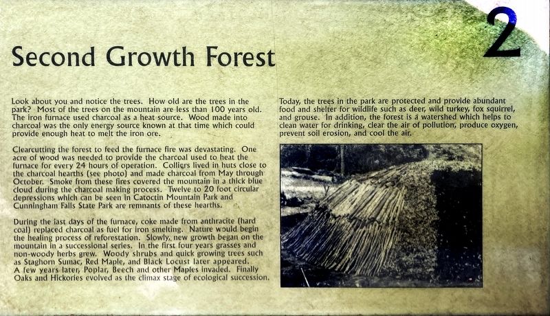
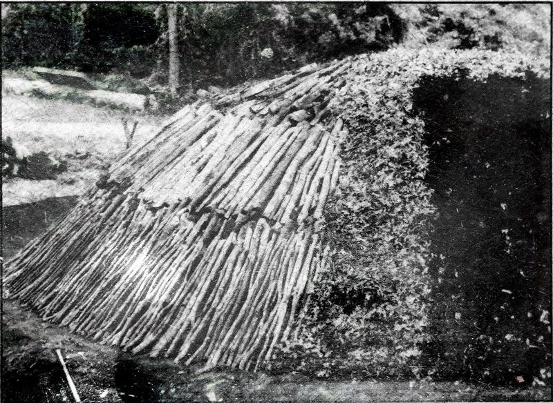
Clearcutting the forest to feed the furnace fire was devastating. One acre of wood was needed to provide the charcoal used to heat the furnace for every 24 hours of operation. Collie-s lived in huts close to the charcoal hearths (see photo) and made charcoal from May through October. Smoke from these fires covered the mountain in a thick blue cloud during the charcoal making process. Twelve to 20 foot circular depressions which can be seen in Catoctin Mountain Park and Cunningham Falls State Park are remnants of these hearths.
During the last days of the furnace, coke made from anthracite (hard coal) replaced charcoal as fuel for iron smelting, Nature would begin the healing process of reforestation. Slowly, new growth began on the mountain in a successional series. In the first four years grasses and non-woody herbs grew. Woody shrubs and quick growing trees such as Staghorn Sumac, Red Maple, and Black Locust later appeared. A few years later, Poplar, Beech and other Maples invaded, Finally, Oaks and Hickories evolved as the climax stage of ecological succession.
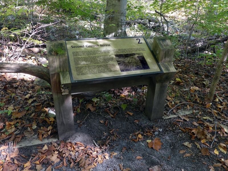
Today, the trees in the park are protected and provide abundant food and shelter for wildlife such as deer, wild turkey, fox squirrel, and grouse. In addition, the forest is a watershed which helps to clean water for drinking, clear the air of pollution, produce oxygen, prevent soil erosion, and cool the air. (Marker Number 2.)
Topics. This historical marker is listed in these topic lists: Horticulture & Forestry • Industry & Commerce.
Location. 39° 35.076′ N, 77° 26.161′ W. Marker is in Thurmont, Maryland, in Frederick County. Marker can be reached from Catoctin Mountain Highway. Touch for map. Marker is in this post office area: Thurmont MD 21788, United States of America. Touch for directions.
Other nearby markers. At least 8 other markers are within walking distance of this marker. Little Hunting Creek (a few steps from this marker); Slag Heaps (about 500 feet away, measured in a direct line); Raceway and Dam (about 700 feet away); Bowstring Arch Bridge (approx. 0.2 miles away); Ruins of the Ironmaster’s House (approx. 0.2 miles away); Ironmaster's Mansion (approx. 0.2 miles away); Catoctin Furnace (approx. ¼ mile away); Catoctin Iron Furnace (approx. ¼ mile away). Touch for a list and map of all markers in Thurmont.
Credits. This page was last revised on October 26, 2021. It was originally submitted on October 25, 2021, by Allen C. Browne of Silver Spring, Maryland. This page has been viewed 203 times since then and 9 times this year. Photos: 1, 2, 3. submitted on October 25, 2021, by Allen C. Browne of Silver Spring, Maryland. • Bill Pfingsten was the editor who published this page.


