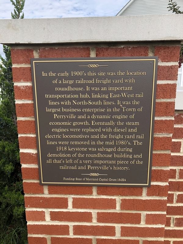
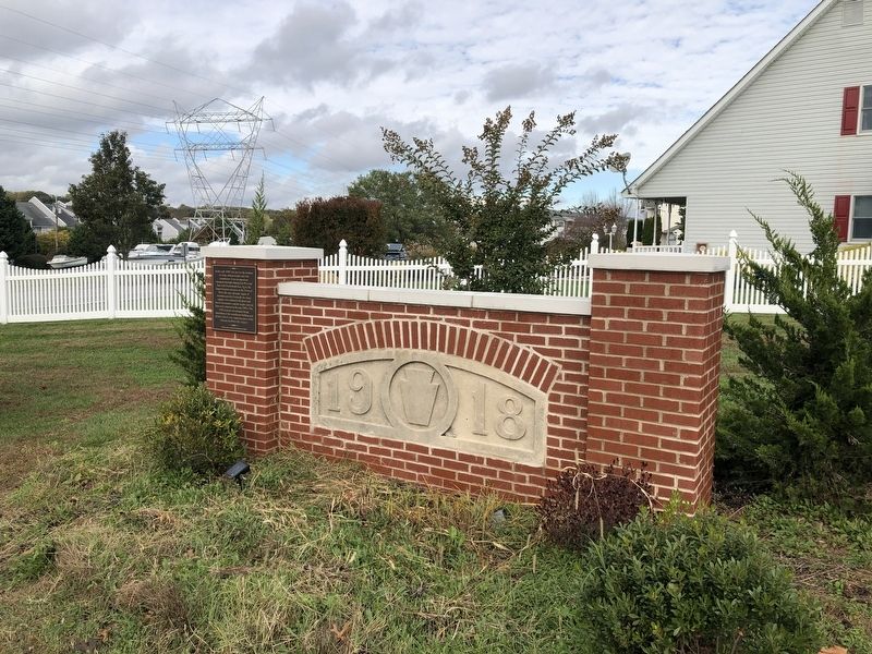
Perryville in Cecil County, Maryland — The American Northeast (Mid-Atlantic)
Railroad History
Erected by State of Maryland Capital Grant 18-224.
Topics and series. This historical marker is listed in this topic list: Railroads & Streetcars. In addition, it is included in the Pennsylvania Railroad (PRR) series list. A significant historical year for this entry is 1918.
Location. 39° 33.535′ N, 76° 4.709′ W. Marker is in Perryville, Maryland, in Cecil County. Marker is on Roundhouse Drive just south of Smith Lane, on the right when traveling north. Touch for map. Marker is at or near this postal address: 106 Roundhouse Dr, Perryville MD 21903, United States of America. Touch for directions.
Other nearby markers. At least 8 other markers are within walking distance of this marker. Revered Son (about 600 feet away, measured in a direct line); Perryville (about 600 feet away); Historic Rodgers Tavern (about 700 feet away); Rodgers Tavern (about 700 feet away); Old Post Road - Lower Susquehanna Ferry - Rodgers' Tavern (about 700 feet away); Count de Rochambeau’s Troops (approx. 0.2 miles away); The War Effort at Home: Perry Point Ammonium Nitrate Plant (approx. 0.4 miles away); A New Town along the Susquehanna (approx. half a mile away). Touch for a list and map of all markers in Perryville.
Credits. This page was last revised on October 31, 2021. It was originally submitted on October 31, 2021, by Devry Becker Jones of Washington, District of Columbia. This page has been viewed 234 times since then and 39 times this year. Photos: 1, 2. submitted on October 31, 2021, by Devry Becker Jones of Washington, District of Columbia.

