Kenner in Jefferson Parish, Louisiana — The American South (West South Central)
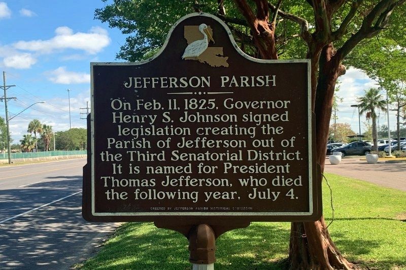
Jefferson Parish
Erected by Jefferson Parish Historical Commission.
Topics. This historical marker is listed in this topic list: Settlements & Settlers. A significant historical date for this entry is February 11, 1825.
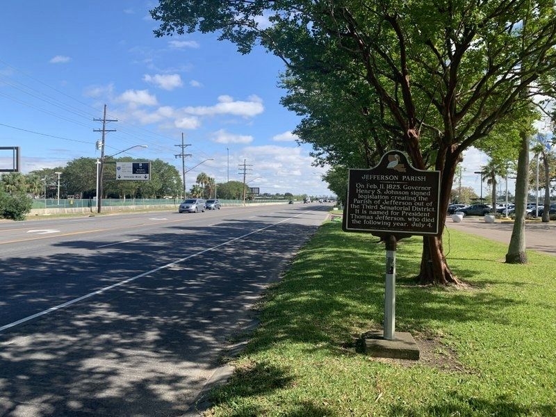
Location. 29° 58.94′ N, 90° 15.485′ W. Marker is in Kenner, Louisiana, in Jefferson Parish. Marker is on Airline Drive (U.S. 61) 0.2 miles east of Farrar Avenue, on the right when traveling east. Marker is located in front of the Hilton Hotel-Airport (2021). Touch for map. Marker is at or near this postal address: 901 Airline Drive, Kenner LA 70062, United States of America. Touch for directions.
Other nearby markers. At least 8 other markers are within walking distance of this marker. Love and Charity Cemetery (approx. 0.3 miles away); Belle Grove Cemetery (approx. 0.4 miles away); St. Rosalie Cemetery (approx. half a mile away); Kenner High School (approx. 0.6 miles away); Kenner Town Hall (approx. ¾ mile away); Flight 759 Memorial (approx. 0.8 miles away); Kennerettes Civic and Social Club, Inc. (approx. 0.8 miles away); Henry "Teddy" Stewart (approx. 0.8 miles away). Touch for a list and map of all markers in Kenner.
Credits. This page was last revised on November 2, 2021. It was originally submitted on November 2, 2021, by Tim Fillmon of Webster, Florida. This page has been viewed 131 times since then and 8 times this year. Photos: 1, 2. submitted on November 2, 2021, by Tim Fillmon of Webster, Florida.

