Marker Logo
THE HISTORICAL
MARKER DATABASE
“Bite-Size Bits of Local, National, and Global History”
Near Browns Valley in Roberts County, South Dakota — The American Midwest (Upper Plains)
 

Travare

Straight ahead 2Ό miles


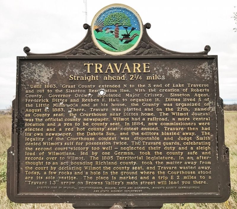
Travare Marker image. Click for full size.
October 30, 2021
1. Travare Marker
Inscription. Until 1883, Grant County extended N to the S end of Lake Traverse and out to the Sisseton Reservation line. With the creation of Roberts County, Governor Ordway appointed Major Crissey, Sisseton Agent, Frederick Dittes and Reuben E. Hall to organize it. Dittes lived S of the Little Minnesota and at his house, the County was organized on August 6, 1883. There, Travare was platted and on the 27th, named as County seat; the Courthouse near Dittes home. The Wilmot Journal was the official county newspaper. Wilmot had a railroad, a more central location and a yen to be county seat. In 1884, new commissioners were elected and a red hot county seat contest ensued. Travare then had its own newspaper, the Dakota Sun, and the editors blasted away. The legality of the Courthouse contest was disputable and Judge Smith denied Wilmot's suit for possession twice. The Travare guards, celebrating the second court victory too well — neglected their duty and a sleigh load of Wilmotians, led by one German, took the county safe and records over to Wilmot. The 1885 Territorial legislature, in an afterthought to an act bounding Richland county,
Paid Advertisement
Click or scan to see
this page online
took the matter away from the court by declaring Wilmot the county seat, and Travare wasted away. Today, a few rocks and a hole in the ground where the Courthouse stood are its sole vestige. The place is marked and a trip E 2 miles to a "Travare 1.3" arrow on Browns Valley's main street will lead you there.
 
Erected 1960 by Dybdahl, Christofferson, Nelson, Roth and Dickenson, Roberts County Commissioners and State Highway Department. (Marker Number 290.)
 
Topics and series. This historical marker is listed in these topic lists: Political SubdivisionsSettlements & Settlers. In addition, it is included in the South Dakota State Historical Society Markers series list. A significant historical date for this entry is August 6, 1883.
 
Location. 45° 37.191′ N, 96° 51.679′ W. Marker is near Browns Valley, South Dakota, in Roberts County. It is on an unnamed road 0.2 miles east of State Highway 10, on the left when traveling east. Accessible via a short gravel road going east from SD-10, Ό-mile north of 122nd Street. Touch for map. Marker is in this post office area: Browns Valley MN 56219, United States of America. Touch for directions.

Regionally,
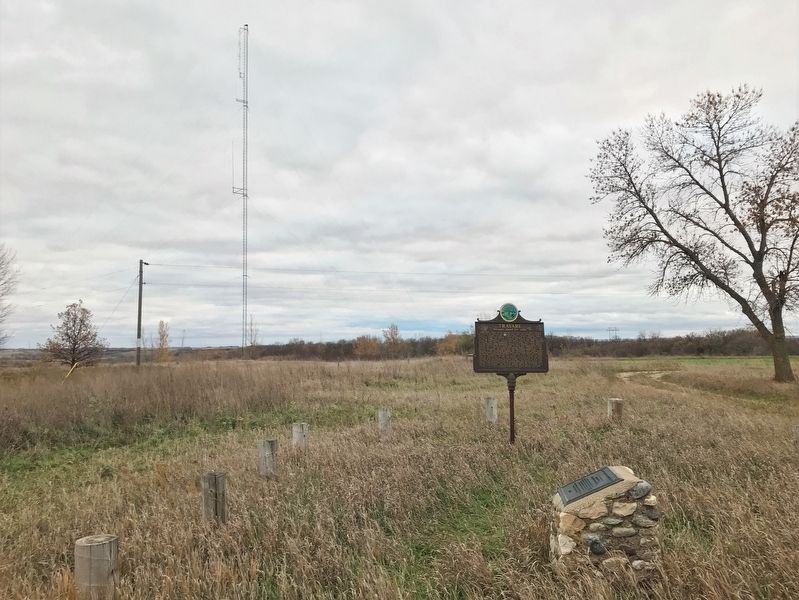
Travare Marker, from the north image. Click for full size.
October 30, 2021
2. Travare Marker, from the north
this marker is in East River. It is also in the American Midwest, in the Lewis & Clark Corridor, in the Corn Belt, on the prairies, and on the Northern Plains. Globally, it is in North America, the Western Hemisphere, the Western World, and the Anglosphere. Historically, it finds itself in what was once Rupert’s Land and also the Louisiana Purchase.

Other nearby markers. At least 8 other markers are within 9 miles of this marker, measured as the crow flies: Ancient River Warren Channel (here, next to this marker); Wadsworth Trail (approx. 1.6 miles away in Minnesota); Browns Valley (approx. 1.6 miles away in Minnesota); Samuel Jerome Brown (approx. 1.9 miles away in Minnesota); Sam Brown Log House (approx. 2 miles away in Minnesota); Browns Valley Man (approx. 2.7 miles away in Minnesota); The Continental Divide (approx. 4 miles away); Dedicated To All Veterans (approx. 9.1 miles away). Touch for a list and map of all markers in Browns Valley.
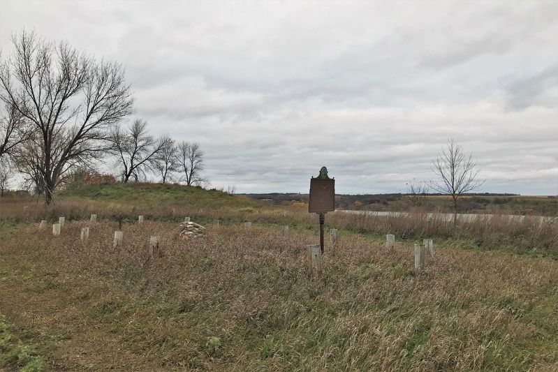
 
Travare Marker image. Click for full size.
October 30, 2021
3. Travare Marker
 
 
Credits. This page was last revised on December 27, 2024. It was originally submitted on November 4, 2021. This page has been viewed 975 times since then and 135 times this year. Photos:   1, 2, 3. submitted on November 4, 2021. • J. Makali Bruton was the editor who published this page.

m=185214

CeraNet Cloud Computing sponsors the Historical Marker Database.
This website earns income from purchases you make after using our links to Amazon.com. We appreciate your support.
Paid Advertisement
Jul. 11, 2026