High Shoals in Gaston County, North Carolina — The American South (South Atlantic)
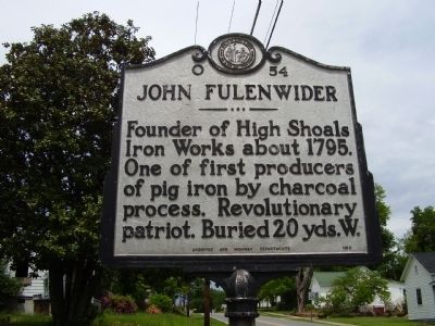
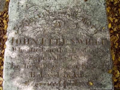
John Fulenwider
Erected 1960 by Archives and Highway Departments. (Marker Number O-54.)
Topics and series. This historical marker is listed in these topic lists: Industry & Commerce • Patriots & Patriotism • War, US Revolutionary. In addition, it is included in the North Carolina Division of Archives and History series list. A significant historical year for this entry is 1795.
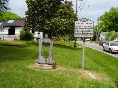
Location. 35° 24.098′ N, 81° 12.123′ W. Marker is in High Shoals, North Carolina, in Gaston County. Marker is on North Lincoln Street (State Highway 321) near Thompkins Street (State Highway 1812), on the right when traveling south. Touch for map. Marker is at or near this postal address: 114 North Lincoln Street, High Shoals NC 28077, United States of America. Touch for directions.
Other nearby markers. At least 8 other markers are within 6 miles of this marker, measured as the crow flies. Iron Works (approx. 3.9 miles away); Daniel E. Rhyne / Laboratory Historic District (approx. 4 miles away); Confederate Laboratory (approx. 5.1 miles away); Plonk Family Cemetery (approx. 5.4 miles away); Schenck-Warlick Mill (approx. 5˝ miles away); Cemetery (approx. 5˝ miles away); J.G. Arends (approx. 5.6 miles away); "Old White Church" Cemetery / " Old White Church " (approx. 5.6 miles away).
Credits. This page was last revised on March 17, 2024. It was originally submitted on May 3, 2009, by Stanley and Terrie Howard of Greer, South Carolina. This page has been viewed 916 times since then and 19 times this year. Photos: 1, 2, 3, 4, 5, 6, 7, 8. submitted on May 3, 2009, by Stanley and Terrie Howard of Greer, South Carolina. • Kevin W. was the editor who published this page.
