Creve Coeur in St. Louis County, Missouri — The American Midwest (Upper Plains)
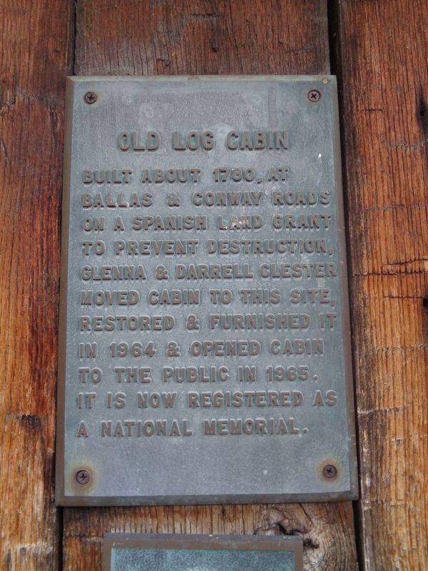
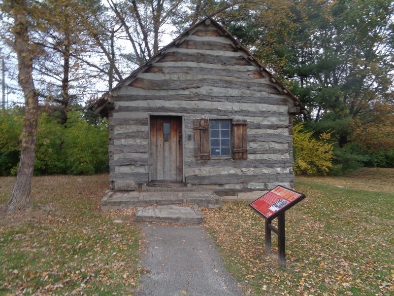
Old Log Cabin
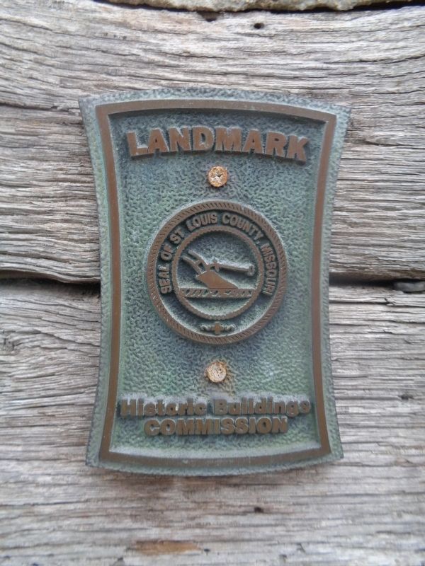
Topics. This historical marker is listed in this topic list: Landmarks. A significant historical year for this entry is 1780.
Location. 38° 38.764′ N, 90° 26.997′ W. Marker is in Creve Coeur, Missouri, in St. Louis County. Marker can be reached from Conway Road west of North Forty Drive. Marker is off a walking trail at Conway Park. Touch for map. Marker is at or near this postal address: 12301 Conway Rd, Saint Louis MO 63141, United States of America. Touch for directions.
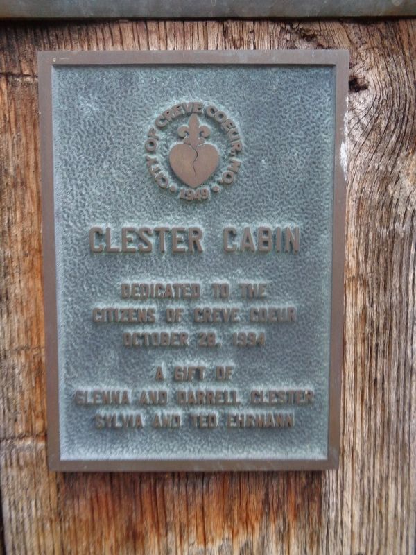
Other nearby markers. At least 8 other markers are within 3 miles of this marker, measured as the crow flies. Clester Cabin (here, next to this marker); Hackmann Cabin (within shouting distance of this marker); Tender Courage (2014) (approx. 0.2 miles away); Lake School (approx. 1˝ miles away); Stan Musial (approx. 1.6 miles away); Tappmeyer Homestead (approx. 2 miles away); Des Peres Presbyterian Church (approx. 2.3 miles away); Old Burying Ground (approx. 2.3 miles away). Touch for a list and map of all markers in Creve Coeur.
Credits. This page was last revised on November 12, 2021. It was originally submitted on November 12, 2021, by Jason Voigt of Glen Carbon, Illinois. This page has been viewed 282 times since then and 15 times this year. Photos: 1, 2, 3, 4. submitted on November 12, 2021, by Jason Voigt of Glen Carbon, Illinois.


