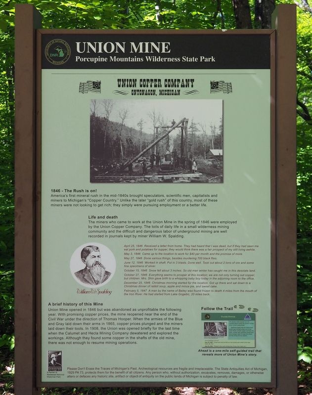
Near White Pine in Ontonagon County, Michigan — The American Midwest (Great Lakes)
Union Mine
Union Copper Company
— Ontonagon, Michigan —
America's first mineral rush in the mid-1840s brought speculators, scientific men, capitalists and miners to Michigan's "Copper Country." Unlike the later "gold rush" of this country, most of these miners were not looking to get rich; they simply were pursuing employment or a better life.
Life and death
The miners who came to work at the Union Mine in the spring of 1846 were employed by the Union Copper Company. The toils of daily life in a small wilderness mining community and the difficult and dangerous labor of underground mining are well recorded in the journals kept by miner William W. Spaulding.
April 25, 1846 Received a letter from home. They had heard that I was dead, but if they had seen me eat pork and potatoes for supper, they would think there was a fair prospect of my still living awhile.
May 3, 1846 Came up to the location to work for $40 per month and the promise of more.
May 27, 1846 Done various things, besides murdering 700 black flies.
June 12, 1846 Worked in shaft. Put in 3 blasts. Done well. Took out about 2 tons of ore and some fine specimens of silver.
October 15, 1846 Snow fell about 3 inches. So old man winter has caught me in this desolate land.
October 27, 1846 Everything seems to prosper at this location; we are not only turning out copper, but children. Mrs. Shin gave birth to a whopping baby boy today in the adjoining room to the office.
December 25, 1846 Christmas morning started for the location. Got up there and sat down to a Christmas dinner of rabbit soup, apple and mince pie, and sweet cake.
February 5, 1847 A man by the name of Bailey was found frozen to death 4 miles from the mouth of the Iron River. He had started from Lake Gogebic, 20 miles back.
A brief history of this Mine
Union Mine opened in 1846 but was abandoned as unprofitable the following year. With promising copper prices, the mine reopened near the end of the Civil War under the direction of Thomas Hooper. When the armies of the Blue and the Gray laid down their arms in 1865, copper prices plunged and the miners laid down their tools. In 1908, the Union was opened briefly for the last time when the Calumet and Hecla Mining Company dewatered and explored the workings. Although they found some copper in the shafts of the old mine, there was not enough to resume mining operations.
Follow the Trail
Ahead is a one-mile self-guided trail that reveals more of the Union Mine's story.
Erected by Michigan Department of Natural Resources.
Topics. This historical marker is listed in this topic list: Industry & Commerce. A significant historical year for this entry is 1846.
Location. 46° 47.634′ N, 89° 37.63′ W. Marker is near White Pine, Michigan, in Ontonagon County. Marker can be reached from South Boundary Road south of Headquarters Road, on the right when traveling south. The marker is in Porcupine Mountains Wilderness State Park at the trailhead to the Union Mine Interpretive Trail. Touch for map. Marker is in this post office area: White Pine MI 49971, United States of America. Touch for directions.
Credits. This page was last revised on November 13, 2021. It was originally submitted on November 13, 2021, by McGhiever of Minneapolis, Minnesota. This page has been viewed 208 times since then and 39 times this year. Photo 1. submitted on November 13, 2021, by McGhiever of Minneapolis, Minnesota. • J. Makali Bruton was the editor who published this page.
Editor’s want-list for this marker. A wide view photo of the marker and the surrounding area together in context. • Can you help?
