Santa Rita, Guam — Pacific Ocean (Marianas Archipelago)
Hidden Defenses
Inscription.
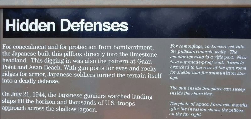
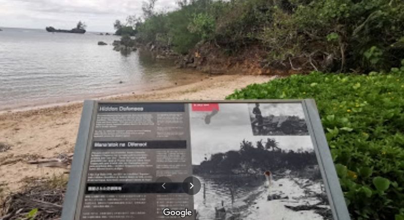
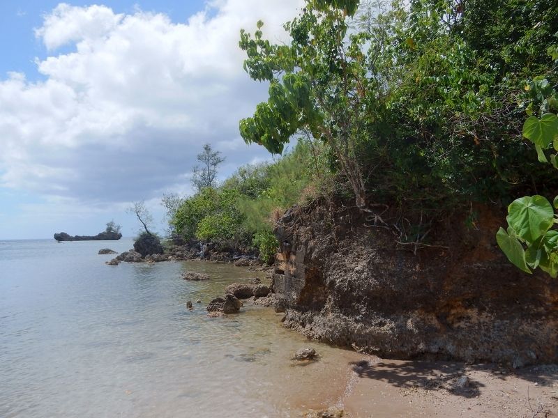
For concealment and for protection from bombardment, the Japanese built this pillbox directly into the limestone headland. This digging-in was also the pattern at Gaan Point and Asan Beach. With gun ports for eyes and rocky ridges for armor, Japanese soldiers turned the terrain itself into a deadly defense.
On July 21, 1944, the Japanese gunners watched landing ships fill the horizon and thousands of U.S. troops approach across the shallow lagoon.
Captions
• For camouflage, rocks were set into the pillbox's concrete walls. The smaller opening is a rifle port. Near it is a grenade-proof vent. Tunnels branched to the rear of the gun room for shelter and for ammunition storage.
• The gun inside this place can sweep inside the shore line.
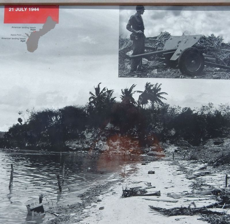
• The photo of Apaca Point two months after the invasion shows the pillbox on the far right.
Erected by National Park Service.
Topics. This historical marker is listed in this topic list: War, World II. A significant historical date for this entry is July 21, 1944.
Location. 13° 24.131′ N, 144° 39.767′ E. Marker is in Santa Rita, Guam. Marker can be reached from Shoreline Drive, 0.1 miles north of Highway 2A, on the left when traveling north. Marker is located on the beach at Apaca Point, part of the War in the Pacific National Historical Park's Agat Unit. Touch for map. Marker is in this post office area: Santa Rita GU 96915, United States of America. Touch for directions.
Other nearby markers. At least 8 other markers are within 6 miles of this marker, measured as the crow flies. Japanese Anti-Aircraft Gun (approx. 1.1 miles away); Japanese Two-Man Submarine (approx. 1.6 miles away); Silent Guns (approx. 4.6 miles away); Attack, Occupation, Liberation (approx. 5.3 miles away); Guam 1941-1944 (approx. 5.4 miles away); The Inland Offensive (approx. 5.4 miles away); Banzai Charges (approx. 5.4 miles away); War in the Pacific National Historical Park (approx. 5.8 miles away).
Credits. This page was last revised on November 26, 2021. It was originally submitted on November 14, 2021, by Duane and Tracy Marsteller of Murfreesboro, Tennessee. This page has been viewed 96 times since then and 4 times this year. Photos: 1, 2, 3, 4. submitted on November 14, 2021, by Duane and Tracy Marsteller of Murfreesboro, Tennessee.


