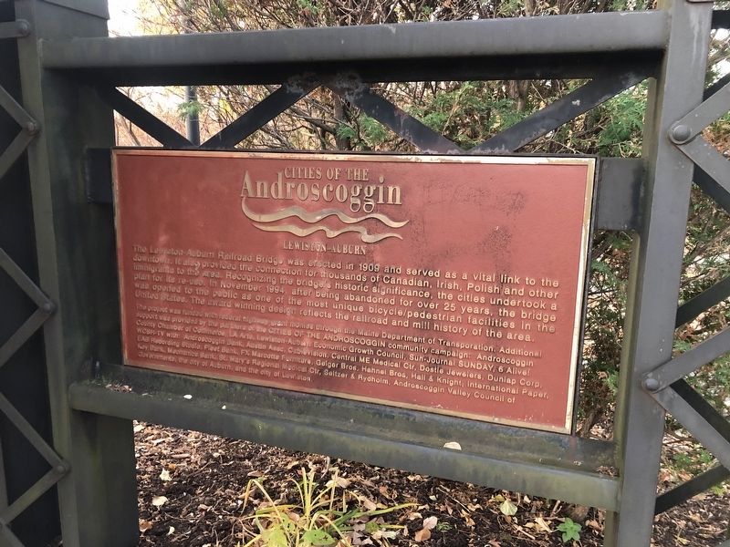
Lewiston in Androscoggin County, Maine — The American Northeast (New England)
Cities of the Androscoggin
Lewiston-Auburn
Topics. This historical marker is listed in these topic lists: Bridges & Viaducts • Industry & Commerce • Railroads & Streetcars • Settlements & Settlers. A significant historical month for this entry is November 1994.
Location. 44° 5.578′ N, 70° 13.38′ W. Marker is in Lewiston, Maine, in Androscoggin County. Marker is on Auburn Riverwalk just west of Oxford Street, in the median. Touch for map. Marker is at or near this postal address: 1 Beech St, Lewiston ME 04240, United States of America. Touch for directions.
Other nearby markers. At least 8 other markers are within walking distance of this marker. 10,000 Years of Wabanaki History / 10 000 Ans d'Histoire Wabanaki (here, next to this marker); Canal System / Les Canaux (about 500 feet away, measured in a direct line); River Pollution and Restoration / Pollution et Restoration de la Rivière (about 600 feet away); Wabanaki History / Les Wabanaquis (about 600 feet away); Bonney Park (about 600 feet away); a different marker also named Bonney Park (about 600 feet away); a different marker also named Cities of the Androscoggin (about 600 feet away); Development of New Auburn / Le Nouvel Auburn (about 600 feet away). Touch for a list and map of all markers in Lewiston.
Credits. This page was last revised on November 16, 2021. It was originally submitted on November 16, 2021, by Devry Becker Jones of Washington, District of Columbia. This page has been viewed 123 times since then and 7 times this year. Photo 1. submitted on November 16, 2021, by Devry Becker Jones of Washington, District of Columbia.
Editor’s want-list for this marker. A wide shot of the marker in context • Can you help?
