Montana City in Jefferson County, Montana — The American West (Mountains)
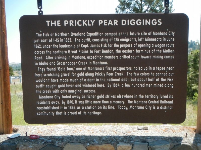
The Prickly Pear Diggings
The found "Gold Tom," one of Montana's first prospectors, holed up in a tepee near here scratching gravel for gold along Prickly Pear Creek. The few colors he panned out wouldn't have made much of a dent in the national debt, but about half of the Fisk outfit caught gold fever and wintered here. By 1864, a few hundred men mined along the creek with only marginal success.
Montana City faded away as richer gold strikes elsewhere in the territory lured its residents away. By 1870, it was little more than a memory. The Montana Central Railroad reestablished it in 1888 as a station on its line. Today, Montana City is a distinct community that is proud of its heritage.
Erected by Montana Department of Transportation.
Topics. This historical marker is listed in this topic list: Settlements & Settlers.
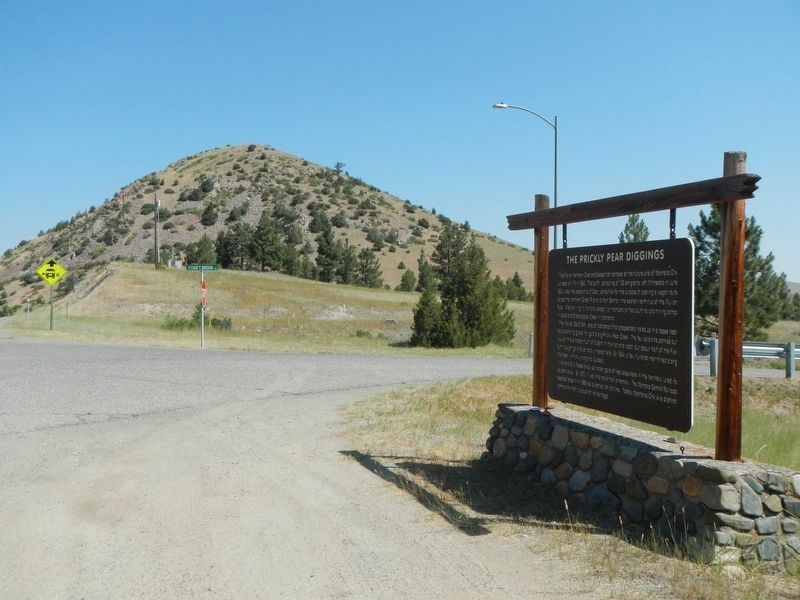
Location. 46° 31.698′ N, 111° 56.766′ W. Marker is in Montana City, Montana, in Jefferson County. Marker is at the intersection of State Highway 282 and Stoney Brook Drive (Virgina Road), on the right when traveling north on State Highway 282. Touch for map. Marker is in this post office area: Clancy MT 59634, United States of America. Touch for directions.
Other nearby markers. At least 8 other markers are within 6 miles of this marker, measured as the crow flies. The Manlove Homestead (approx. 4.3 miles away); East Helena Main Street Park (approx. 4.4 miles away); Cogswell Building (approx. 5.1 miles away); Unemployment Compensation Commission (approx. 5.2 miles away); Justice Building and Montana State Library (approx. 5.2 miles away); Mitchell Building (approx. 5.2 miles away); Board of Health Building (approx. 5.2 miles away); Livestock Building (approx. 5.2 miles away).
Credits. This page was last revised on November 20, 2021. It was originally submitted on November 20, 2021, by Barry Swackhamer of Brentwood, California. This page has been viewed 178 times since then and 31 times this year. Photos: 1, 2. submitted on November 20, 2021, by Barry Swackhamer of Brentwood, California.

