Monteith in Chatham County, Georgia — The American South (South Atlantic)
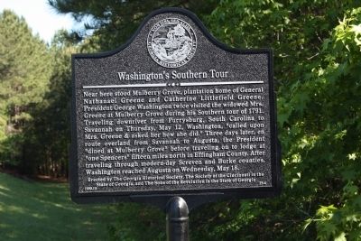
Washington's Southern Tour
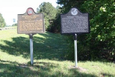
Near here stood Mulberry Grove, plantation home of General Nathanael Greene and Catherine Littlefield Greene. President George Washington twice visited the widowed Mrs. Greene at Mulberry Grove during the Southern tour of 1791. Traveling downriver from Purrysburg, South Carolina to Savannah on Thursday, May 12, Washington "called upon Mrs. Greene & asked her how she did." Three days later, en route overland from Savannah to Augusta, the President "dined at Mulberry Grove" before traveling on to lodge at "one Spencers" fifteen miles north in Effingham County. After traveling through modern-day Screven and Burke counties, Washington reached Augusta on Wednesday, May 18.
Erected 1999 by The Georgia Historical Society, The Society of the Cincinnati in the State of Georgia, and the Sons of the Revolution in the State of Georgia. (Marker Number 25-4.)
Topics and series. This historical marker is listed in this topic list: Settlements & Settlers. In addition, it is included in the Former U.S. Presidents: #01 George Washington, the George Washington Slept Here, and the Georgia Historical Society series lists. A significant historical date for this entry is May 12, 1780.
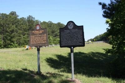
Location. 32° 10.846′ N, 81° 11.269′ W. Marker is in Monteith, Georgia , in Chatham County. Marker is on Augusta Road (State Highway 21/30) north of Drakie Road, on the right when traveling north. Touch for map. Marker is in this post office area: Port Wentworth GA 31407, United States of America. Touch for directions.
Other nearby markers. At least 8 other markers are within 4 miles of this marker, measured as the crow flies. Mulberry Grove Plantation (here, next to this marker); Richmond Baptist Church (approx. 1.6 miles away); Atlantic Coastal Highway Through Georgia (approx. 2 miles away); Savannah River Plantations (approx. 2.1 miles away); Historic Ship Anchor (approx. 2.6 miles away); Gulfstream Aerospace Corp. (approx. 2.8 miles away); Indian Trading Post: Home of Mary Musgrove (approx. 3.2 miles away); Battle Between Confederate Gunboats and Union Field Artillery (approx. 3.2 miles away).
Related markers. Click here for a list of markers that are related to this marker. To better understand the relationship, study each marker in the order shown.
Credits. This page was last revised on November 24, 2019. It was originally submitted on May 4, 2009, by Mike Stroud of Bluffton, South Carolina. This page has been viewed 1,812 times since then and 33 times this year. Photos: 1, 2, 3. submitted on May 4, 2009, by Mike Stroud of Bluffton, South Carolina. • Craig Swain was the editor who published this page.


