New Milford in Bergen County, New Jersey — The American Northeast (Mid-Atlantic)
These are the times that try men’s souls . . .
November 1776
Photographed by Bill Coughlin, November 21, 2021
1. These are the times that try men’s souls Marker
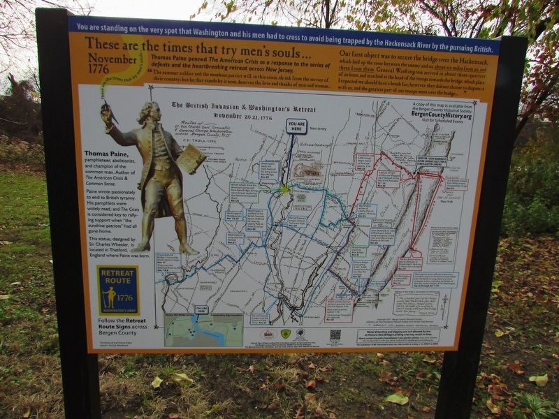
Thomas Paine penned The American Crisis as a response to a series of defeats and the heartbreaking retreat across New Jersey.
“The summer soldier and the sunshine patriot will, in this crisis, shrink from the service of their country; but he that stands by it now, deserves the love and thanks of man and woman . . .
Our first object was to secure the bridge over the Hackensack, which laid up the river between the enemy and us, about six miles from us, and three from them. General Washington arrived in about three-quarters of an hour, and marched at the head of the troops towards the bridge, which place I expected we should have a brush for, however, they did not choose to dispute it with us, and the greatest part of our troops went over the bridge . . . ”
< Sidebar : >
Thomas Paine, pamphleteer, abolitionist, and champion of the common man. Author of The American Crisis & Common Sense,
Paine wrote passionately to end to British tyranny. His pamphlets were widely read, and The Crisis
this page online
This statue, designed by Sir Charles Wheeler, is located in Thetford, England where Paine was born.
Erected 2021 by Bergen County Historical Society.
Topics. This historical marker is listed in this topic list: War, US Revolutionary. A significant historical date for this entry is November 20, 1776.
Location. 40° 54.843′ N, 74° 1.796′ W. Marker is in New Milford, New Jersey, in Bergen County. It is on Old New Bridge Road, on the left when traveling west. Touch for map. Marker is in this post office area: New Milford NJ 07646, United States of America. Touch for directions.

Regionally, this marker is in New Jersey’s North Jersey, in Greater Newark, and in the New York City Metropolitan Area. It is also in the American Northeast, in the Mid-Atlantic, and on the Eastern Seaboard. Globally, it is in the North Atlantic Region, North America, the Western Hemisphere, the Western World, and the Anglosphere. Historically, it finds itself in what was once New Netherland and also one of the original Thirteen Colonies.
Other nearby markers. At least
Photographed by Bill Coughlin, November 21, 2021
2. These are the times that try men’s souls Marker
Another marker is no longer nearby. New Bridge Landing (was within shouting distance of this marker but has been permanently removed).
More about this marker. The bottom left of the marker contains a Washington’s Army 1776 Retreat Route marker that appear throughout New Jersey.
The sidebar includes a photo of the Thomas Paine statue mentioned on the marker.
The background of the marker features a map indicating The British Invasion & Washington’s Retreat of November 20-21, 1776.
Photographed by Bill Coughlin, November 21, 2021
3. These are the times that try men’s souls Marker
Photographed by Bill Coughlin, November 21, 2021
4. Marker at New Bridge Landing
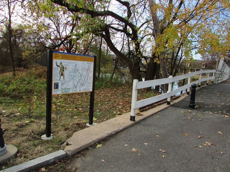
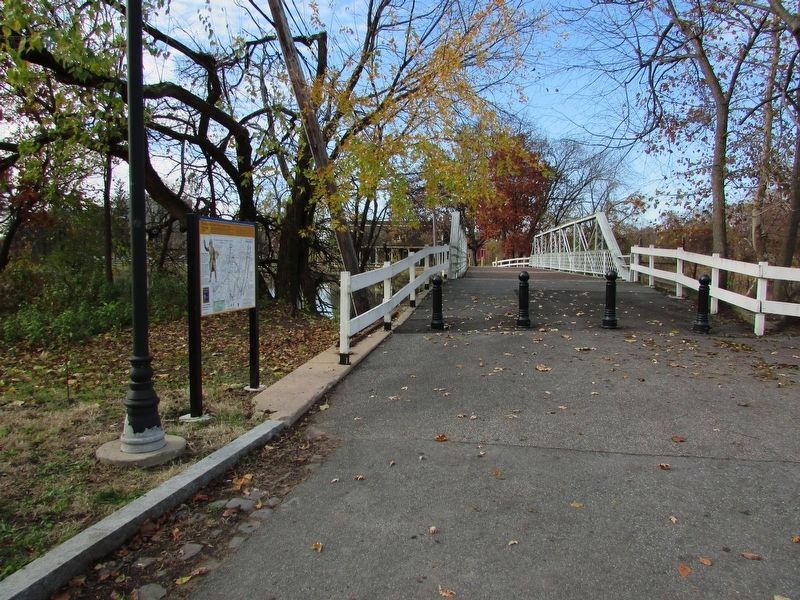
The marker is located on the east side of the bridge.
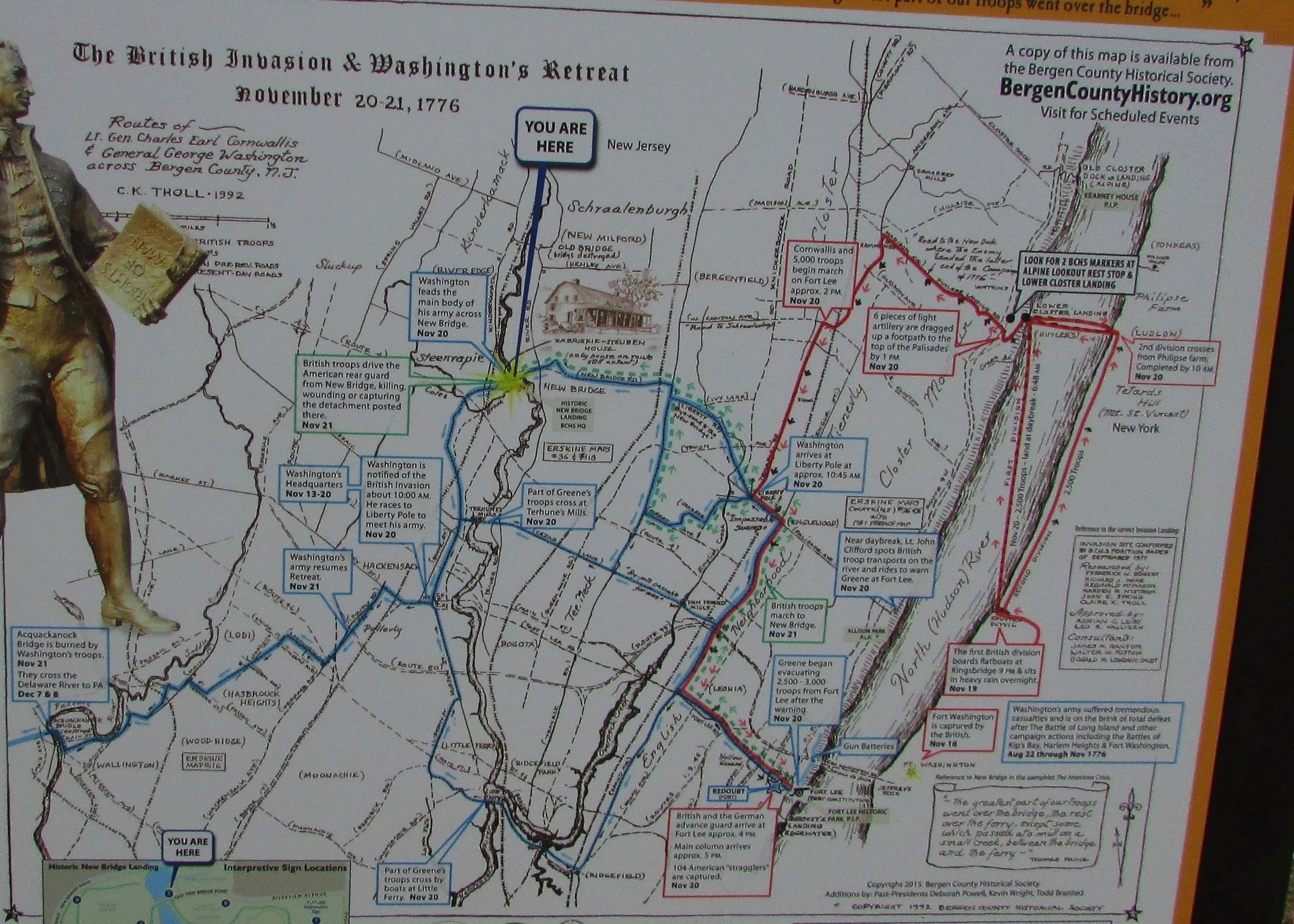
Photographed by Bill Coughlin, November 21, 2021
5. Closeup of British Invasion & Washington's Retreat map
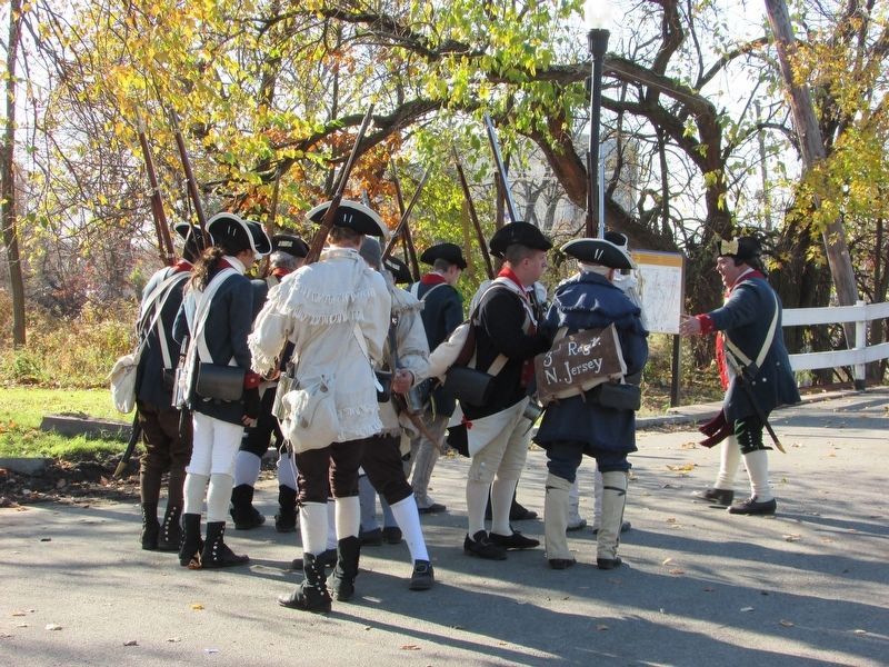
Photographed by Bill Coughlin, November 21, 2021
6. New Bridge Marker
The marker can be seen behind the Continental soldiers at the bridge.
Credits. This page was last revised on November 22, 2021. It was originally submitted on November 22, 2021, by Bill Coughlin of Woodland Park, New Jersey. This page has been viewed 841 times since then and 72 times this year. Photos: 1, 2, 3, 4, 5, 6. submitted on November 22, 2021, by Bill Coughlin of Woodland Park, New Jersey.
