Wichita Falls in Wichita County, Texas — The American South (West South Central)
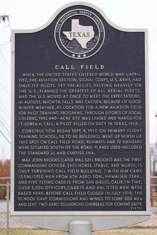
Call Field
Construction began Sept. 4, 1917, on primary flight training school; 50 to 60 buildings went up north of this spot on Call Field Road; runways and 12 hangars were situated south of the road. Planes used included the Standard JL and Curtis JN4.
Maj. John Brooks (later Maj. Gen. Brooks) was the first commanding officer. (His horse stable, 360 feet north, is only surviving Call Field building.) with him came 15 enlisted men from 6th Aero Sqn., Hawaiian Terr., and five flying cadets from San Diego, California. In time, over 3,000 officers, cadets and enlisted men were based here. Before Call Field closed in July 1919; the school gave commissions and wings to some 500 men and sent two aero squadrons overseas for combat duty.
Erected 1973 by Texas Historical Commission. (Marker Number 630.)
Topics. This historical marker is listed in these topic lists: Air & Space • War, World I. A significant historical date for this entry is September 4, 1917.
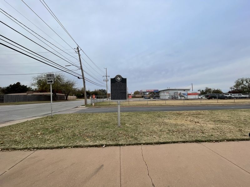
Location. 33° 52.316′ N, 98° 33.144′ W. Marker is in Wichita Falls, Texas, in Wichita County. Marker is on Call Field Road, on the right when traveling west. Touch for map. Marker is at or near this postal address: 4312 Call Field Road, Wichita Falls TX 76308, United States of America. Touch for directions.
Other nearby markers. At least 8 other markers are within 5 miles of this marker, measured as the crow flies. Wichita Falls Lodge No. 635, A.F. & A.M. (approx. 1.7 miles away); Texan Santa Fe Expedition (approx. 3.7 miles away); Wichita County (approx. 3.9 miles away); Spanish War Veterans Statue (approx. 4 miles away); First County Officials (approx. 4.3 miles away); Texas Governor James V. Allred (approx. 4.3 miles away); Joseph Hudson Barwise (approx. 4.3 miles away); The Lost Battalion (approx. 4.3 miles away). Touch for a list and map of all markers in Wichita Falls.
Also see . . . Call Field - The Handbook of Texas Online. Texas State Historical Association (TSHA) (Submitted on November 25, 2021, by Brian Anderson of Humble, Texas.)
Credits. This page was last revised on November 25, 2021. It was originally submitted on November 25, 2021, by Brian Anderson of Humble, Texas. This page has been viewed 176 times since then and 17 times this year. Photos: 1, 2. submitted on November 25, 2021, by Brian Anderson of Humble, Texas.

