Jeffersonville in Clark County, Indiana — The American Midwest (Great Lakes)
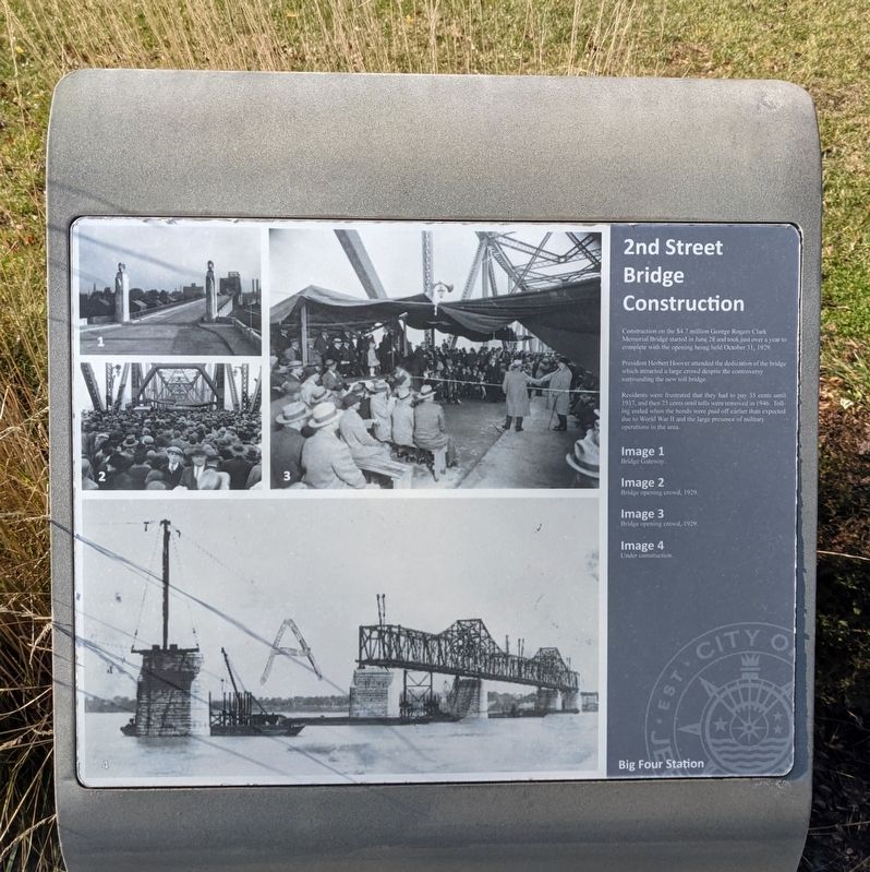
2nd Street Bridge Construction
President Herbert Hoover attended the dedication of the bridge which attracted a large crowd despite the controversy surrounding the new toll bridge.
Residents were frustrated that they had to pay 35 cents until 1937, and then 25 cents until tolls were removed in 1946. Tolling ended when the bonds were paid off earlier than expected due to World War II and the large presence of military operations in the area.
Image 1
Bridge Gateway.
Image 2
Bridge opening crowd, 1929.
Image 3
Bridge opening crowd, 1929.
Image 4
Under construction.
Topics. This historical marker is listed in these topic lists: Bridges & Viaducts • War, World II. A significant historical date for this entry is October 31, 1929.
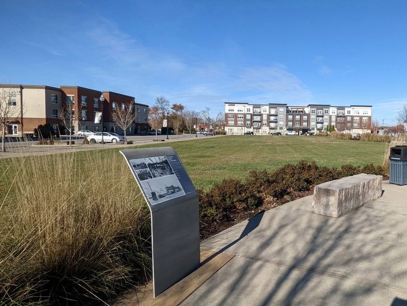
Location. 38° 16.264′ N, 85° 44.567′ W. Marker is in Jeffersonville, Indiana, in Clark County. Marker can be reached from Mulberry Street south of West Maple Street, on the left when traveling south. Located in Big Four Station Park. Touch for map. Marker is at or near this postal address: 301 Mulberry St, Jeffersonville IN 47130, United States of America. Touch for directions.
Other nearby markers. At least 8 other markers are within walking distance of this marker. Big Four Pedestrian/Bicycle Path (within shouting distance of this marker); Steamboats and Shipyards (within shouting distance of this marker); U.S. Quartermaster Depot (within shouting distance of this marker); Big Four Bridge Collapse (within shouting distance of this marker); Civil War Memorial (about 300 feet away, measured in a direct line); Flooding (about 400 feet away); Historic Flood of 1937 (about 400 feet away); The History of Preservation Station (about 600 feet away). Touch for a list and map of all markers in Jeffersonville.
Credits. This page was last revised on November 26, 2021. It was originally submitted on November 26, 2021, by Bernard Fisher of Richmond, Virginia. This page has been viewed 260 times since then and 96 times this year. Photos: 1, 2. submitted on November 26, 2021, by Bernard Fisher of Richmond, Virginia.

