Garretson in Minnehaha County, South Dakota — The American Midwest (Upper Plains)
The Legend of Jesse James
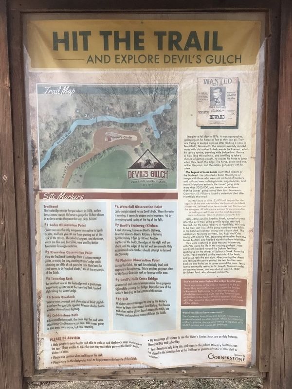
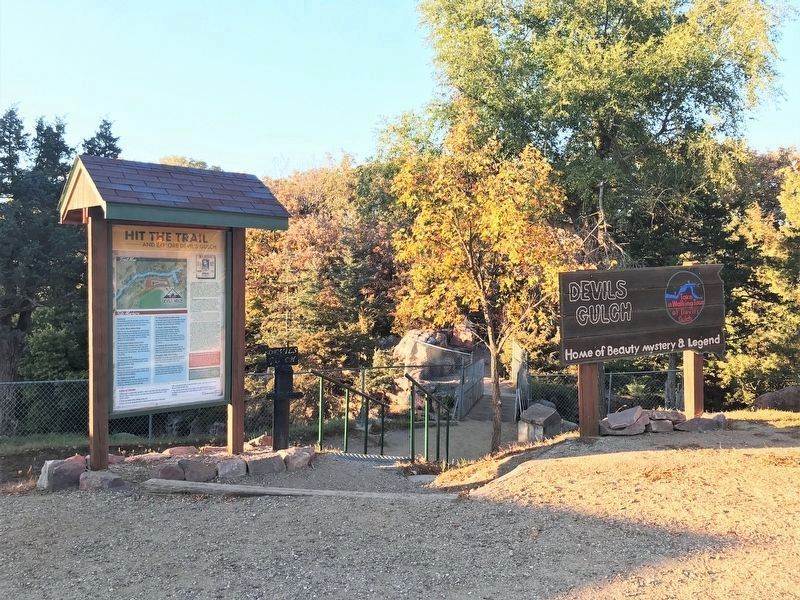
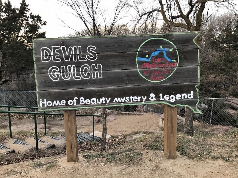
Hit the Trail and Explore Devil's Gulch
The Legend of Jesse James captivated citizens of the Midwest. He cultivated a Robin Hood type of image with those who were not too fond of bankers and railroad men, robbing banks, stagecoaches, and trains. Historians estimate the James' gang stole more than $300,000, and there is no evidence that the James' gang shared their loot. Minnesota Governor J.S. Pillsbury issued a statewide alert after Northfield that read:
"Wanted dead or alive. $5,000 will be paid for the capture of the men who robbed the bank at Northfield, Minnesota, believed to be Jesse James and his band or the Youngers. All officers are warned to use precaution in making arrest. These are the most desperate men in America. Take no chances! Shoot to kill!"
Jesse James and his brother, Frank, turned to crime after the Civil War, using guerilla tactics they had learned, but the bank robbery in Northfield, MN was to be their last. Two of the gang members were killed in the botched robbery, along with a bank clerk. The well-known Youngers brothers, Jim, Rob, and Cole, along with Charlie Pitts, separated themselves from the James Brothers and headed Northwest from Mankato.
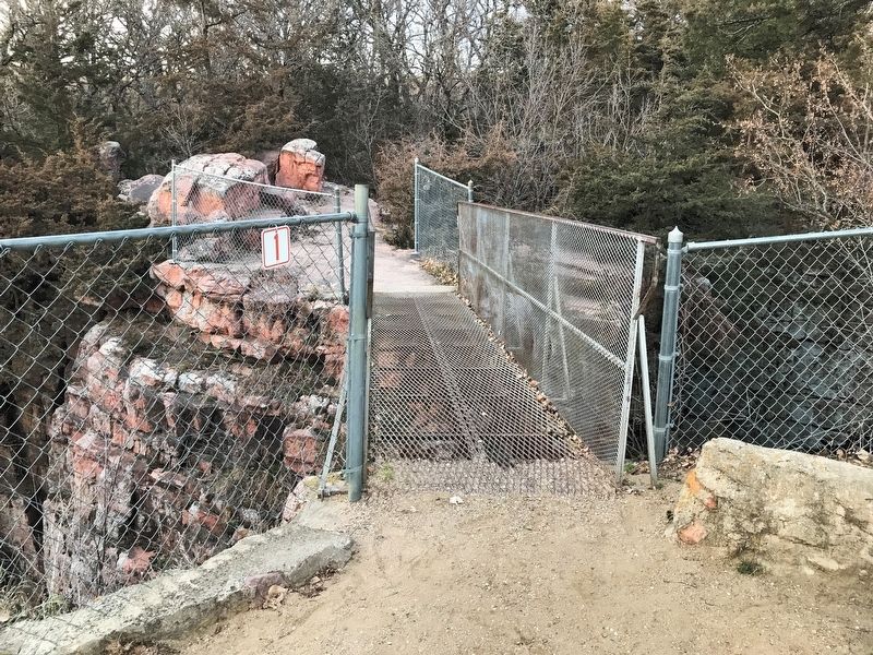
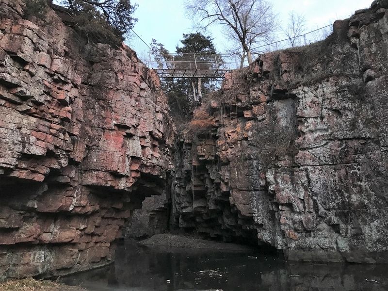
They were captured at Lake Hansha, Minnesota, with Pitts losing his life in the ensuing gunfight. Jesse and Frank headed toward the Dakota Territory, splitting up on the shores of Splitrock Creek. From the north, Frank traveled on the west side of the bank, and Jesse took the east side. After jumping the chasm and leaving the posse behind, the two brothers met back up and holed up in caves around the area. Jesse James eventually retired to St. Joseph, Missouri under an assumed name, and was shot on April 3, 1882 by Robert Ford, who claimed his bounty.
Erected by Cornerstone Financial Solutions, Inc.
Topics and series. This historical marker is listed in this topic list: Notable Places. In addition, it is included in the Jesse James series list. A significant historical year for this entry is 1876.
Location. 43° 43.376′ N, 96° 29.769′ W. Marker is in Garretson, South Dakota, in Minnehaha County. Marker is on Devil's Gulch Park Road, half a mile north of 5th Street, on the left when traveling north. The marker is located in Devil's Gulch Park in northeast Garretson. Touch for map. Marker is in this post office area: Garretson SD 57030, United States of America. Touch for directions.
Other nearby markers. At least 8 other markers are within 5 miles of this marker, measured as the crow flies. Festival of Progress (approx. ¼ mile away); Garretson (approx. half a mile away); 1908 Palisades Bridge (approx. 2.6 miles away); Village of Palisades (approx. 2.7 miles away); Palisades State Park (approx. 2.8 miles away); Norway Lutheran Church (approx. 4.7 miles away); Eleven Original Pioneer Families (approx. 4.7 miles away); a different marker also named Norway Lutheran Church (approx. 4.7 miles away). Touch for a list and map of all markers in Garretson.
Credits. This page was last revised on October 19, 2022. It was originally submitted on November 28, 2021. This page has been viewed 793 times since then and 131 times this year. Photos: 1. submitted on November 28, 2021. 2. submitted on October 19, 2022. 3, 4, 5. submitted on November 28, 2021. • J. Makali Bruton was the editor who published this page.
