Near Canton in Van Zandt County, Texas — The American South (West South Central)
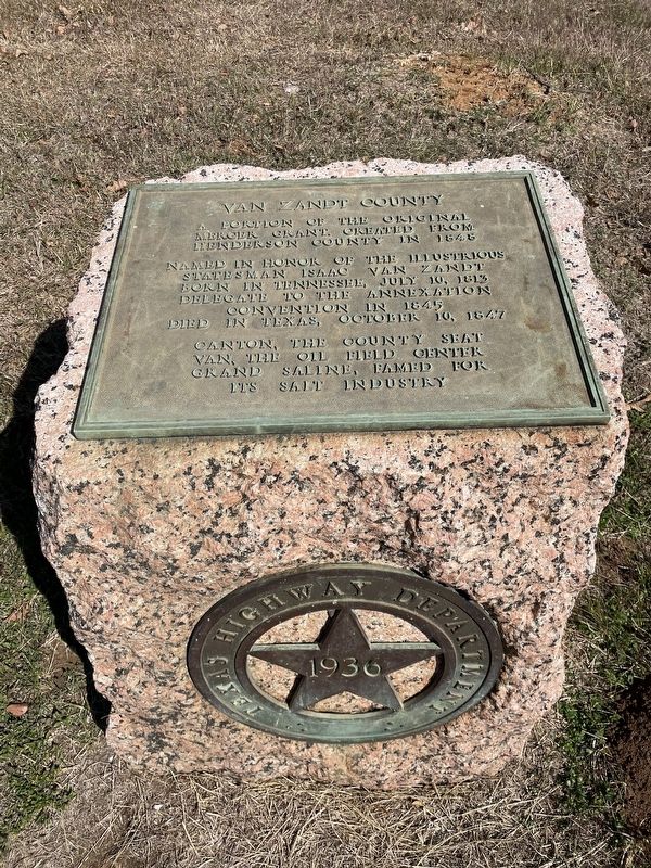
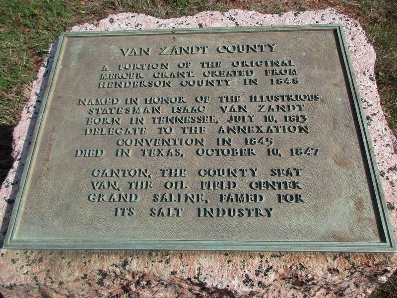
Van Zandt County
Mercer Grant created from
Henderson County in 1848
Named in honor of the illustrious
statesman Isaac Van Zandt
Born in Tennessee, July 10, 1813
Delegate to the Annexation
Convention in 1845
Died in Texas, October 10, 1847
Canton, the county seat
Van, the oil field center
Grand Saline, famed for
its salt industry
Erected 1936 by the State of Texas. (Marker Number 11442.)
Topics and series. This historical marker is listed in this topic list: Political Subdivisions. In addition, it is included in the Texas 1936 Centennial Markers and Monuments series list. A significant historical year for this entry is 1848.
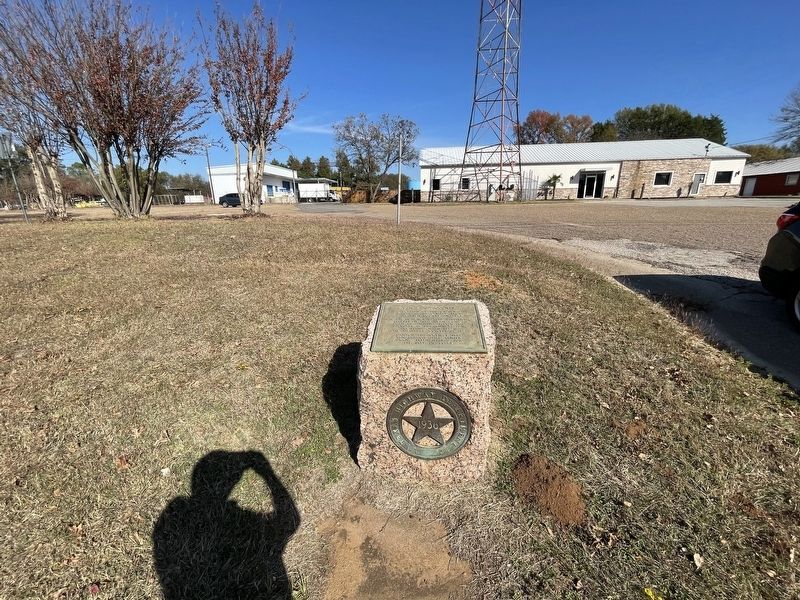
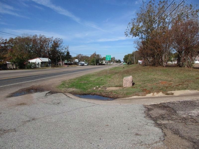
Location. 32° 32.948′ N, 95° 50.97′ W. Marker is near Canton, Texas, in Van Zandt County. Marker is on State Highway 64, 0.2 miles north of Veterans Memorial Parkway (State Highway 243), on the right when traveling north. Touch for map. Marker is at or near this postal address: 24980 State Highway 64, Canton TX 75103, United States of America. Touch for directions.
Other nearby markers. At least 8 other markers are within walking distance of this marker. First United Methodist Church of Canton (approx. 0.9 miles away); Dixie Hotel (approx. 0.9 miles away); Hillcrest Cemetery (approx. 0.9 miles away); Caldwell Walton Raines (approx. 0.9 miles away); Van Zandt County Courthouse (approx. 0.9 miles away); Site of 1896 Van Zandt County Courthouse (approx. 0.9 miles away); Oran Milo Roberts (approx. 0.9 miles away); The Canton Herald (approx. 0.9 miles away). Touch for a list and map of all markers in Canton.
Also see . . . Van Zandt County - The Handbook of Texas Online. Texas State Historical Association (TSHA) (Submitted on November 29, 2021, by Brian Anderson of Humble, Texas.)
Credits. This page was last revised on November 27, 2023. It was originally submitted on November 29, 2021, by Brian Anderson of Humble, Texas. This page has been viewed 148 times since then and 30 times this year. Photos: 1. submitted on November 29, 2021, by Brian Anderson of Humble, Texas. 2. submitted on November 27, 2023, by Jeff Leichsenring of Garland, Texas. 3. submitted on November 29, 2021, by Brian Anderson of Humble, Texas. 4. submitted on November 27, 2023, by Jeff Leichsenring of Garland, Texas.


