Fort Pierre in Stanley County, South Dakota — The American Midwest (Upper Plains)
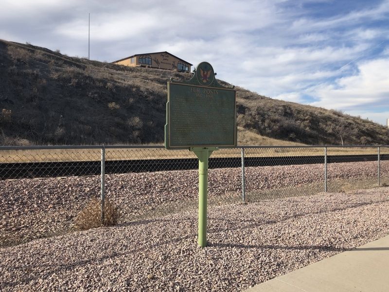
Fur Posts
1817 - 1868
For half a century the area near the Mouth of Bad River was one of America's Fur Capitals. There were ten fur posts here over the years in 1805 Lewis & Clark's reports of the richness of the fur trade on the Missouri was causing a turmoil and in 1808 John Jacob Astor formed the American Fur Company which was to become America's biggest business.
In 1821 Joseph Renville, William Laidlaw, Kenneth McKenzie, all British subjects, with Daniel Lamont, and American partner, formed Tilton & Company usually known as the Columbia Fur Co and the next year built Fort Tecumseh named for the famous Shawnee chief whom Renville knew, on the west bank of the Missouri, then an open channel, about a mile above Bad River within a few rods of this marker. It was sold by Columbia to the Upper Missouri Outfit, a subsidiary of the American Fur Company in 1827 and because of the encroachment of the river was moved 1 3/4 miles N and renamed Ft. Pierre Choteau in 1832. In 1831 the "Yellowstone" first steamboat on the Missouri came up as far as Ft. Tecumseh.
In 1833 Sublette & Campbell had a trade post in "opposition" a little south of this site.
When Pierre was the world's largest shipping point for cattle, this area was the holding grounds and a few rods upstream was the railroad company's pile bridge to Marions Island from where the ferries took them over river.
Erected 1956 by Scher Brothers and State Highway Commission. (Marker Number 175.)
Topics and series. This historical marker is listed in this topic list: Settlements & Settlers. In addition, it is included in the South Dakota State Historical Society Markers series list. A significant historical year for this entry is 1805.
Location. 44° 21.392′ N, 100° 22.492′ W. Marker is in Fort Pierre, South Dakota, in Stanley County. Marker is on Native American Scenic Byway (U.S. 83) 0.1 miles south of 5th Avenue. The marker is located in the parking lot of the Fort Pierre Depot Museum. Touch for map. Marker is at or near this postal address: 399 Native American Scenic Byway, Fort Pierre SD 57532, United States of America. Touch for directions.
Other nearby markers. At least 8 other markers are within walking distance of this marker. Casey Tibbs (a few steps from this marker); Fort Pierre (a few steps from this marker); a different marker also named Fort Pierre (within shouting distance of this marker); Lewis and Clark / Fort Pierre, South Dakota (within shouting distance of this marker); Fort Pierre Train Depot (within shouting distance of this marker); Stanley County Courthouse Veteran's Memorial (about 600 feet away, measured in a direct line); Stanley County Jail 1905 (approx. 0.2 miles away); Verendrye Explorers (approx. 0.2 miles away). Touch for a list and map of all markers in Fort Pierre.
Credits. This page was last revised on November 29, 2021. It was originally submitted on November 29, 2021, by Ruth VanSteenwyk of Aberdeen, South Dakota. This page has been viewed 95 times since then and 18 times this year. Photos: 1, 2. submitted on November 29, 2021, by Ruth VanSteenwyk of Aberdeen, South Dakota. • J. Makali Bruton was the editor who published this page.

