Fort Pierre in Stanley County, South Dakota — The American Midwest (Upper Plains)
Fort Pierre
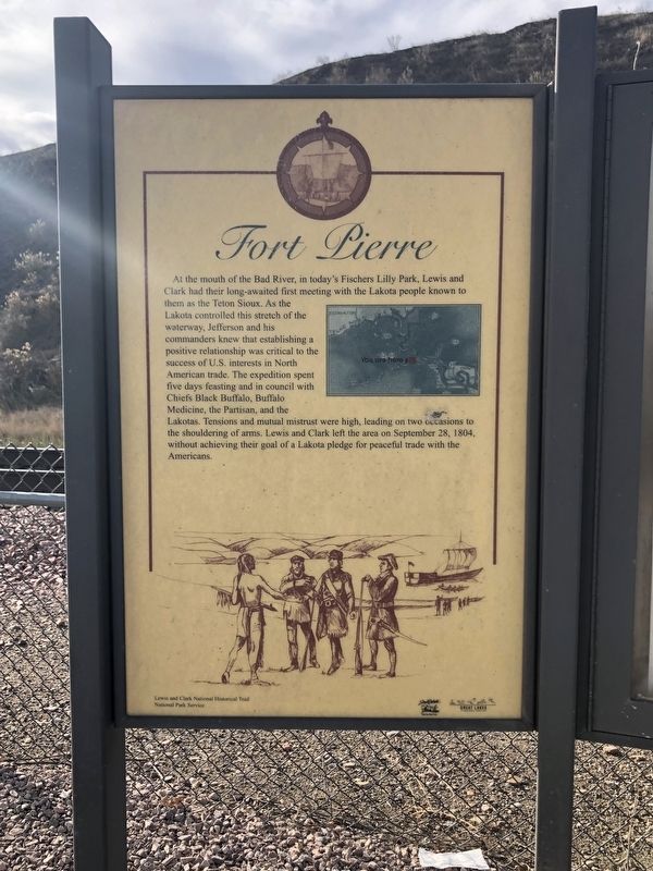
At the mouth of the Bad River, in today's Fischers Lilly Park, Lewis and Clark had their long-awaited first meeting with the Lakota people known to them as the Teton Sioux. As the Lakota controlled this stretch of the waterway, Jefferson and his commanders knew that establishing a positive relationship was critical to the success of U.S. interests in North American trade. The expedition spent five days feasting and in council with Chiefs Black Buffalo, Buffalo Medicine, the Partisan, an the Lakotas. Tensions and mutual mistrust were high, leading on two occasions to the shouldering of arms. Lewis and Clark left the area on September 28, 1804, without achieving their goal of a Lakota pledge for peaceful trade with the Americans.
Erected by Lewis and Clark National Historical Trail and National Park Service.
Topics. This historical marker is listed in this topic list: Settlements & Settlers. A significant historical date for this entry is September 28, 1804.
Location. 44° 21.363′ N, 100° 22.485′ W. Marker is in Fort Pierre, South Dakota, in Stanley County. Marker is at the intersection of Native American Scenic Byway (U.S. 83) and 3rd Avenue on Native American Scenic Byway. The marker is located in the Fort Pierre Depot Museum parking lot. Touch for map. Marker is at or near this postal address: 304 Native American Scenic Byway, Fort Pierre SD 57532, United States of America. Touch for directions.
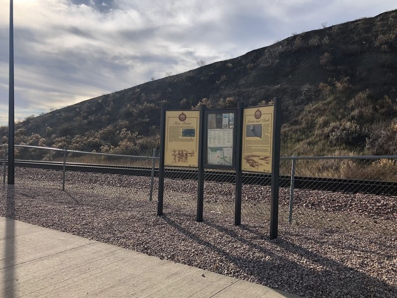
Other nearby markers. At least 8 other markers are within walking distance of this marker. Lewis and Clark / Fort Pierre, South Dakota (here, next to this marker); a different marker also named Fort Pierre (within shouting distance of this marker); Casey Tibbs (within shouting distance of this marker); Fur Posts (within shouting distance of this marker); Fort Pierre Train Depot (about 400 feet away, measured in a direct line); Stanley County Courthouse Veteran's Memorial (about 500 feet away); Stanley County Jail 1905 (about 700 feet away); Father Christian Hoecken, S.J. (approx. 0.2 miles away). Touch for a list and map of all markers in Fort Pierre.
Credits. This page was last revised on November 29, 2021. It was originally submitted on November 29, 2021, by Ruth VanSteenwyk of Aberdeen, South Dakota. This page has been viewed 99 times since then and 18 times this year. Photos: 1, 2. submitted on November 29, 2021, by Ruth VanSteenwyk of Aberdeen, South Dakota. • J. Makali Bruton was the editor who published this page.

