Megargel in Archer County, Texas — The American South (West South Central)
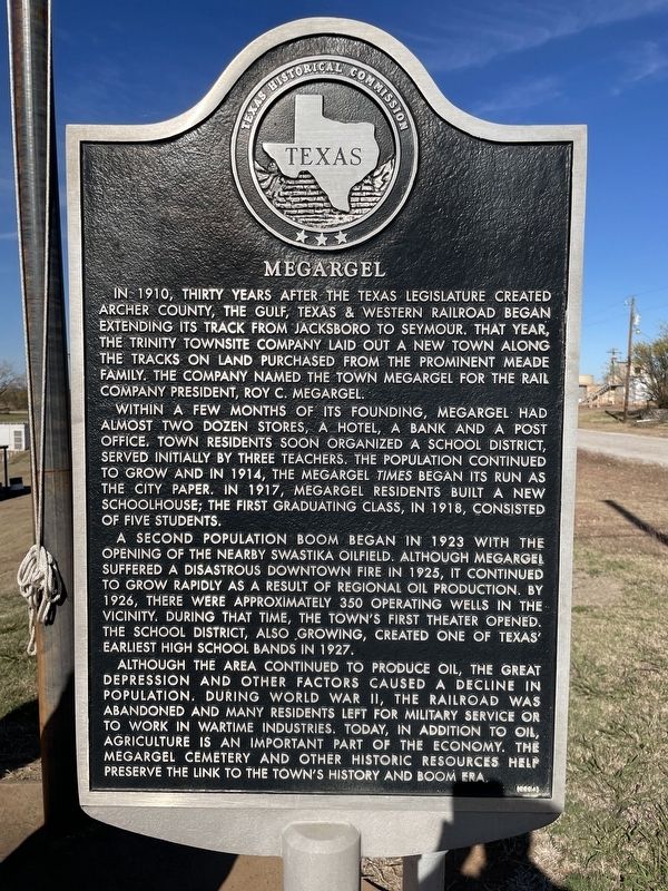
Megargel
Within a few months of its founding, Megargel had almost two dozen stores, a hotel, a bank and a post office. Town residents soon organized a school district, served initially by three teachers. The population continued to grow and in 1914, the Megargel Times began its run as the city paper. In 1917, Megargel residents built a new schoolhouse; the first graduating class, in 1918, consisted of five students.
A second population boom began in 1923 with the opening of the nearby Swastika oilfield. Although Megargel suffered a disastrous downtown fire in 1925, it continued to grow rapidly as a result of regional oil production. By 1926, there were approximately 350 operating wells in the vicinity. During that time, the town's first theater opened. The school district, also growing, created one of Texas' earliest high school bands in 1927.
Although the area continued to produce oil, the Great Depression and other factors caused a decline in population. During World War II, the railroad was abandoned and many residents left for military service or to work in wartime industries. Today, in addition to oil, agriculture is an important part of the economy. The Megargel Cemetery and other historic resources help preserve the link to the town's history and boom era.
Erected 2004 by Texas Historical Commission. (Marker Number 12946.)
Topics. This historical marker is listed in this topic list: Settlements & Settlers. A significant historical year for this entry is 1910.
Location. 33° 27.035′ N, 98° 55.645′ W. Marker is in Megargel, Texas, in Archer County. Marker is at the intersection of State Highway 114 and 5th Street, on the right when traveling west on State Highway 114. Touch for map. Marker is in this post office area: Megargel TX 76370, United States of America. Touch for directions.
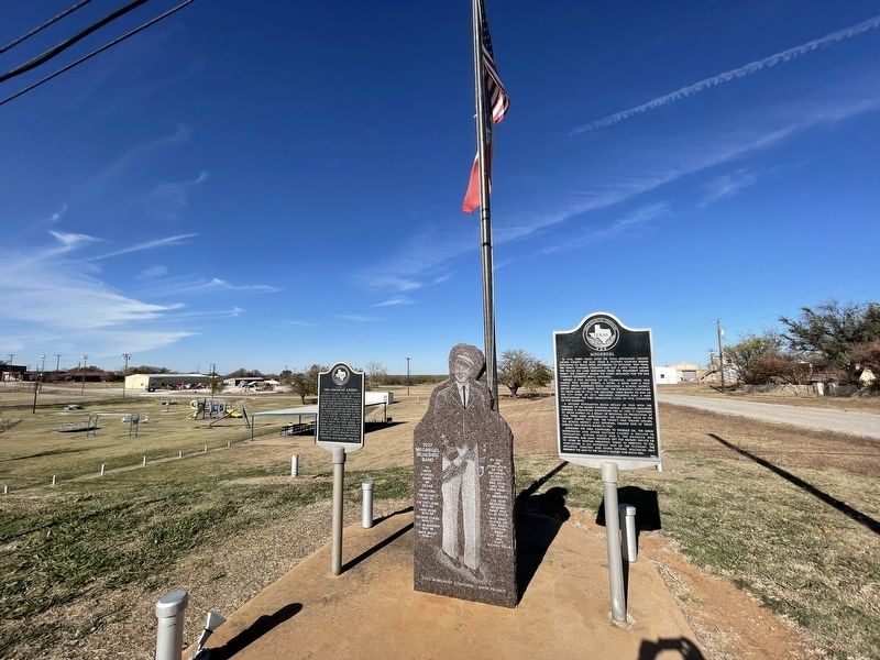
Other nearby markers. At least 5 other markers are within 13 miles of this marker, measured as the crow flies. On Route of the Comanche Exodus (here, next to this marker); Westover School (approx. 5.8 miles away); Westover (approx. 5.8 miles away); The Confluence of the Brazos, Trinity, and Red River Watersheds (approx. 11˝ miles away); In Vicinity of French Trading Area (approx. 12.2 miles away).
Also see . . . Megargel, TX - The Handbook of Texas Online. Texas State Historical Association (TSHA) (Submitted on November 30, 2021, by Brian Anderson of Humble, Texas.)
Credits. This page was last revised on November 30, 2021. It was originally submitted on November 30, 2021, by Brian Anderson of Humble, Texas. This page has been viewed 710 times since then and 118 times this year. Photos: 1, 2. submitted on November 30, 2021, by Brian Anderson of Humble, Texas.

