Near Holliday in Archer County, Texas — The American South (West South Central)
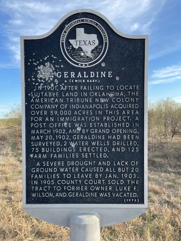
Geraldine
(1 Mile East)
A severe drought and lack of ground water caused all but 20 families to leave by Jan. 1903. In 1905 County Court sold the tract to former owner Luke F. Wilson, and Geraldine was vacated.
Erected 1973 by State Historical Survey Committee. (Marker Number 2172.)
Topics. This historical marker is listed in this topic list: Settlements & Settlers. A significant historical date for this entry is May 20, 1902.
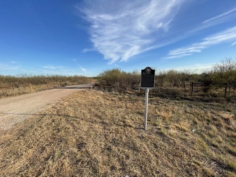
Location. 33° 42.733′ N, 98° 42.627′ W. Marker is near Holliday, Texas, in Archer County. Marker is at the intersection of Farm to Market Road 368 and Geraldine Road, on the right when traveling north on Road 368. Touch for map. Marker is in this post office area: Holliday TX 76366, United States of America. Touch for directions.
Other nearby markers. At least 8 other markers are within 10 miles of this marker, measured as the crow flies. Dad's Corner (approx. 2.7 miles away); Archer County Copper Mines (approx. 4˝ miles away); Camp Stonewall Jackson (approx. 5.4 miles away); Maggie and Herod "Pap" Simpson (approx. 7.1 miles away); Captain John Holliday (approx. 8.6 miles away); Archer County Jail (approx. 9.4 miles away); A Jesse James Hideout (approx. 9˝ miles away); Archer County Discovery Well (approx. 9˝ miles away). Touch for a list and map of all markers in Holliday.
Also see . . . Geraldine, TX - The Handbook of Texas Online. Texas State Historical Association (TSHA) (Submitted on December 1, 2021, by Brian Anderson of Humble, Texas.)
Credits. This page was last revised on January 21, 2022. It was originally submitted on December 1, 2021, by Brian Anderson of Humble, Texas. This page has been viewed 297 times since then and 65 times this year. Photos: 1, 2. submitted on December 1, 2021, by Brian Anderson of Humble, Texas.

