South of Broad in Charleston in Charleston County, South Carolina — The American South (South Atlantic)
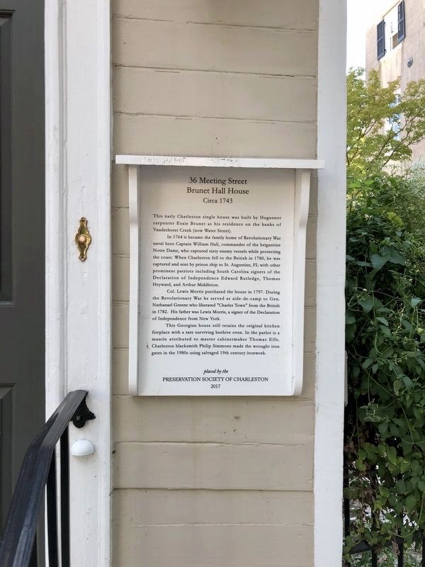
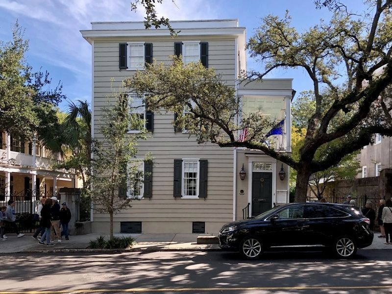
36 Meeting Street
Brunet-Hall House
— Circa 1743 —
In 1764 it became the family home of Revolutionary War naval hero Captain William Hall, commander of the brigantine Notre Dame, who captured sixty enemy vessels while protecting the coast. When Charleston fell to the British in 1780, he was captured and sent by prison ship to St. Augustine, FL with other prominent patriots including South Carolina signers of the Declaration of Independence Edward Rutledge, Thomas Heyward, and Arthur Middleton.
Col. Lewis Morris purchased the house in 1797. During the Revolutionary War he served as aide-de-camp to Gen. Nathanael Greene who liberated “Charles Town” from the British in 1782. His father was Lewis Morris, a signer of the Declaration of Independence from New York.
This Georgian house still retains the original kitchen fireplace with a rare surviving beehive oven. In the parlor is a mantle attributed to master cabinetmaker Thomas Elfe. Charleston blacksmith Philip Simmons made the wrought iron gates in the 1980s using salvaged 19th century ironwork.
Erected 2017 by Preservation Society of Charleston.
Topics. This historical marker is listed in these topic lists: Architecture • War, US Revolutionary. A significant historical year for this entry is 1743.
Location. 32° 46.38′ N, 79° 55.83′ W. Marker is in Charleston, South Carolina, in Charleston County. It is in South of Broad. Marker is on Meeting Street south of Water Street, on the left when traveling south. Touch for map. Marker is at or near this postal address: 36 Meeting Street, Charleston SC 29401, United States of America. Touch for directions.
Other nearby markers. At least 8 other markers are within walking distance of this marker. 37 Meeting Street (a few steps from this marker); Old St. Michael’s Rectory (a few steps from this marker); William Bull's House (within shouting distance of this marker); Daniel Huger House (within shouting distance of this marker); The Joseph Yates House (within shouting distance of this marker); Black and White Worlds: (about 300 feet away, measured in a direct line); George Eveleigh House (about 300 feet away); The Landscape of the Enslaved (about 400 feet away). Touch for a list and map of all markers in Charleston.
Credits. This page was last revised on February 16, 2023. It was originally submitted on December 6, 2021, by Duane and Tracy Marsteller of Murfreesboro, Tennessee. This page has been viewed 374 times since then and 34 times this year. Photos: 1, 2. submitted on December 6, 2021, by Duane and Tracy Marsteller of Murfreesboro, Tennessee.

