Albia in Monroe County, Iowa — The American Midwest (Upper Plains)
Albia Square and Commercial Historic District
Inscription.
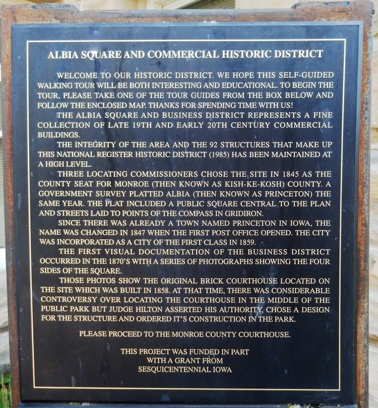
Welcome to our Historic District. We hope this self-guided walking tour will be both interesting and educational. To begin the tour, please take one of the tour guides from the box below and follow the enclosed map. Thanks for spending time with us!
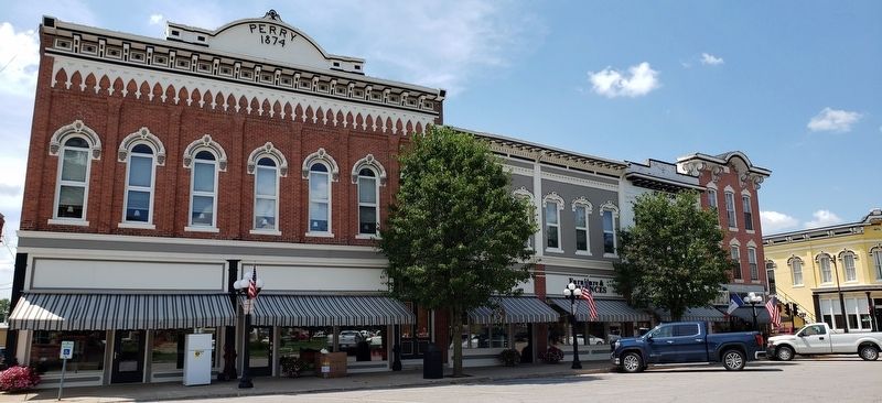
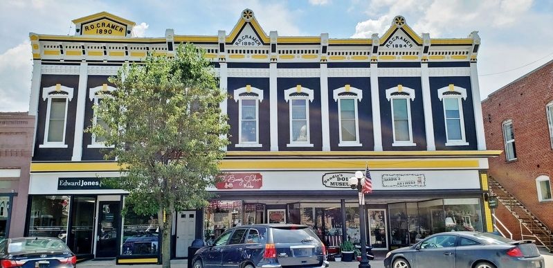
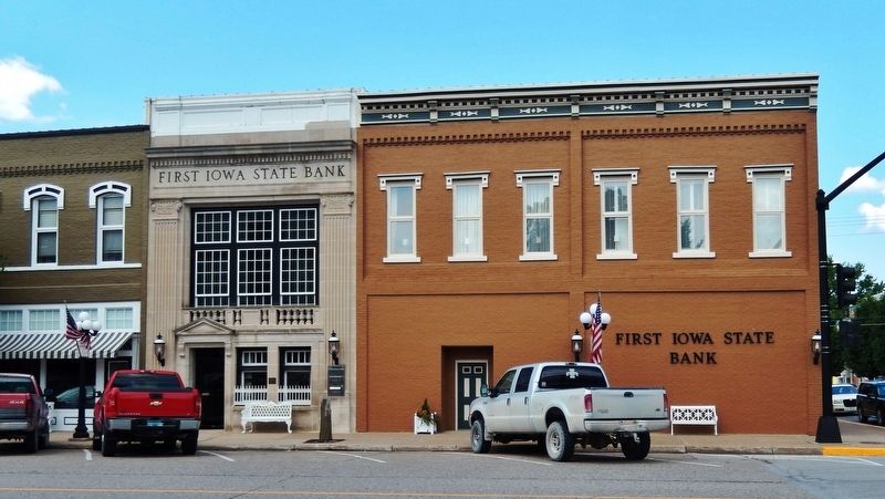
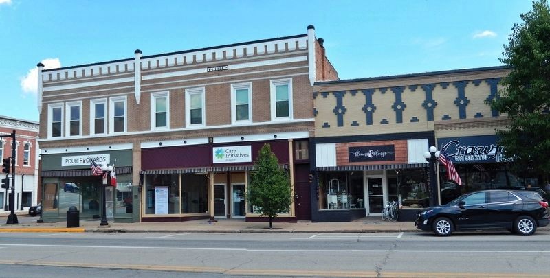
The Albia Square and Business District represents a fine collection of late 19th and early 20th century commercial buildings.
The integrity of the area and the 92 structures that make up this National Register Historic District (1985) has been maintained at a high level.
Three locating commissioners chose the site in 1845 as the county seat for Monroe (then known as Kisk-Ke-Kosh) County. A government survey platted Albia (then known as Princeton) the same year. The plat included a public square central to the plan and streets laid to points of the compass in gridiron.
Since there was already a town named Princeton in Iowa, the name was changed in 1847 when the first post office opened. The city was incorporated as a city of the first class in 1859.
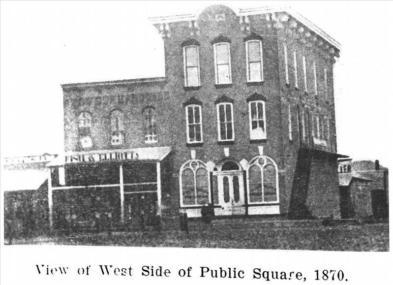
The first visual documentation of the business district occurred in the 1870’s with a series of photographs showing the four sides of the square.
Those photos show the original brick courthouse located on the site which was built in 1858. At that time, there was considerable controversy over locating the courthouse in the middle of the public park but Judge Hilton asserted his authority, chose a design for the structure and ordered its construction in the park.
This project was funded in part
with a grant from
Sesquicentennial Iowa
Topics. This historical marker is listed in these topic lists: Architecture • Settlements & Settlers. A significant historical year for this entry is 1845.
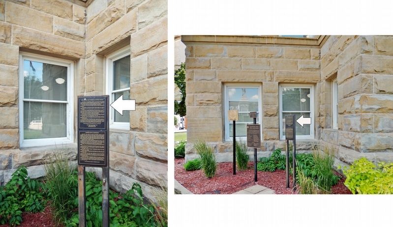
Location. 41° 1.605′ N, 92° 48.455′ W. Marker is in Albia, Iowa, in Monroe County. Marker can be reached from Benton Avenue East (County Road H35) just west of South Main Street (State Route 5), on the left when traveling west. Marker is located at the northeast corner of the Monroe County Courthouse. Touch for map. Marker is at or near this postal address: 10 Benton Avenue East, Albia IA 52531, United States of America. Touch for directions.
Other nearby markers. At least 8 other markers are within walking distance of this marker. Monroe County Courthouse (here, next to this marker); Monroe County Civil War Monument (a few steps from this marker); A Stand for the Band (within shouting distance of this marker); Albia Freedom Rock Veterans Memorial (within shouting distance of this marker); 14 South Main Street (within shouting distance of this marker); W. H. Kreger Building
(within shouting distance of this marker); Seaman & Clark Building (within shouting distance of this marker); 8-10 South Main Street (within shouting distance of this marker). Touch for a list and map of all markers in Albia.
Regarding Albia Square and Commercial Historic District. National Register of Historic Places #85000007.
Related markers. Click here for a list of markers that are related to this marker. Albia Square and Central Commercial Historic District
Also see . . . Albia Square and Central Commercial Historic District. Wikipedia entry:
A newspaper story that called Albia the ugliest town in Iowa was the catalyst that First Iowa State Bank Board Chairman Robert T. Bates needed to organize in 1965 what became "Operation Facelift." Volunteers solicited a $25 contribution from building and business owners to the Albia Area Improvement Association fund as seed money for the project. Bates himself established a $2,000,000 trust for revitalization efforts in later years.(Submitted on December 8, 2021, by Cosmos Mariner of Cape Canaveral, Florida.)
via NPS, unknown
3. Albia Square and Commercial Historic District
NPGallery Digital Asset Management System website entry
Click for more information.
Click for more information.
Photographed By Cosmos Mariner, July 1, 2021
4. Albia Historic District Street Lighting Project Marker
Credits. This page was last revised on April 6, 2022. It was originally submitted on December 7, 2021, by Cosmos Mariner of Cape Canaveral, Florida. This page has been viewed 255 times since then and 33 times this year. Photos: 1, 2. submitted on December 8, 2021, by Cosmos Mariner of Cape Canaveral, Florida. 3. submitted on April 6, 2022, by Larry Gertner of New York, New York. 4, 5, 6, 7, 8. submitted on December 8, 2021, by Cosmos Mariner of Cape Canaveral, Florida.
