Albia in Monroe County, Iowa — The American Midwest (Upper Plains)
Townsend's Corner Block
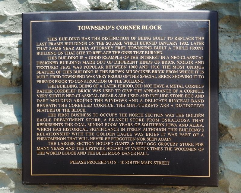
This building has the distinction of being built to replace the last frame buildings on the Square which burned January 1902. Later that same year Albia Attorney Fred Townsend built a triple front building on that site to replace ones that burned.
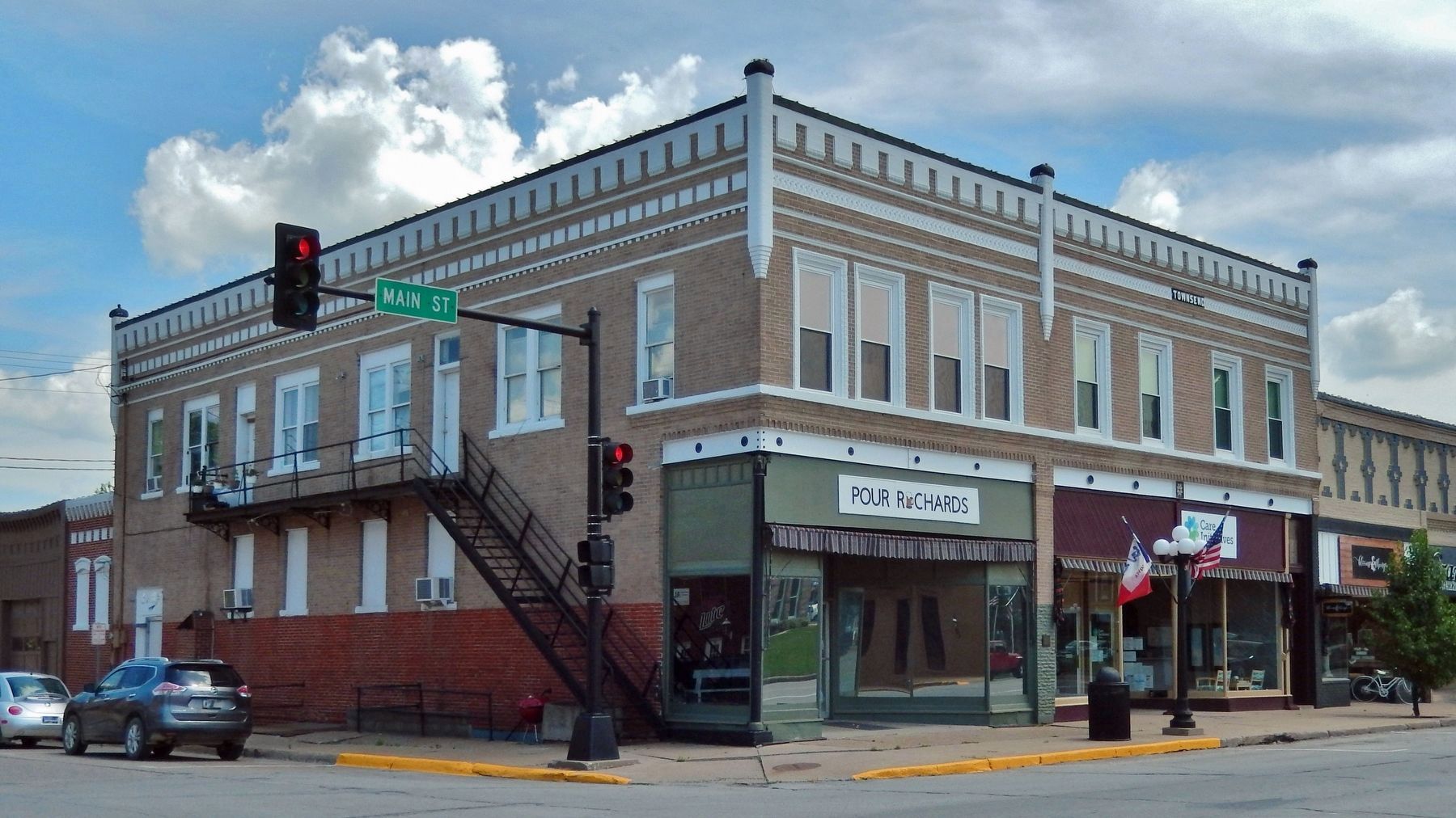
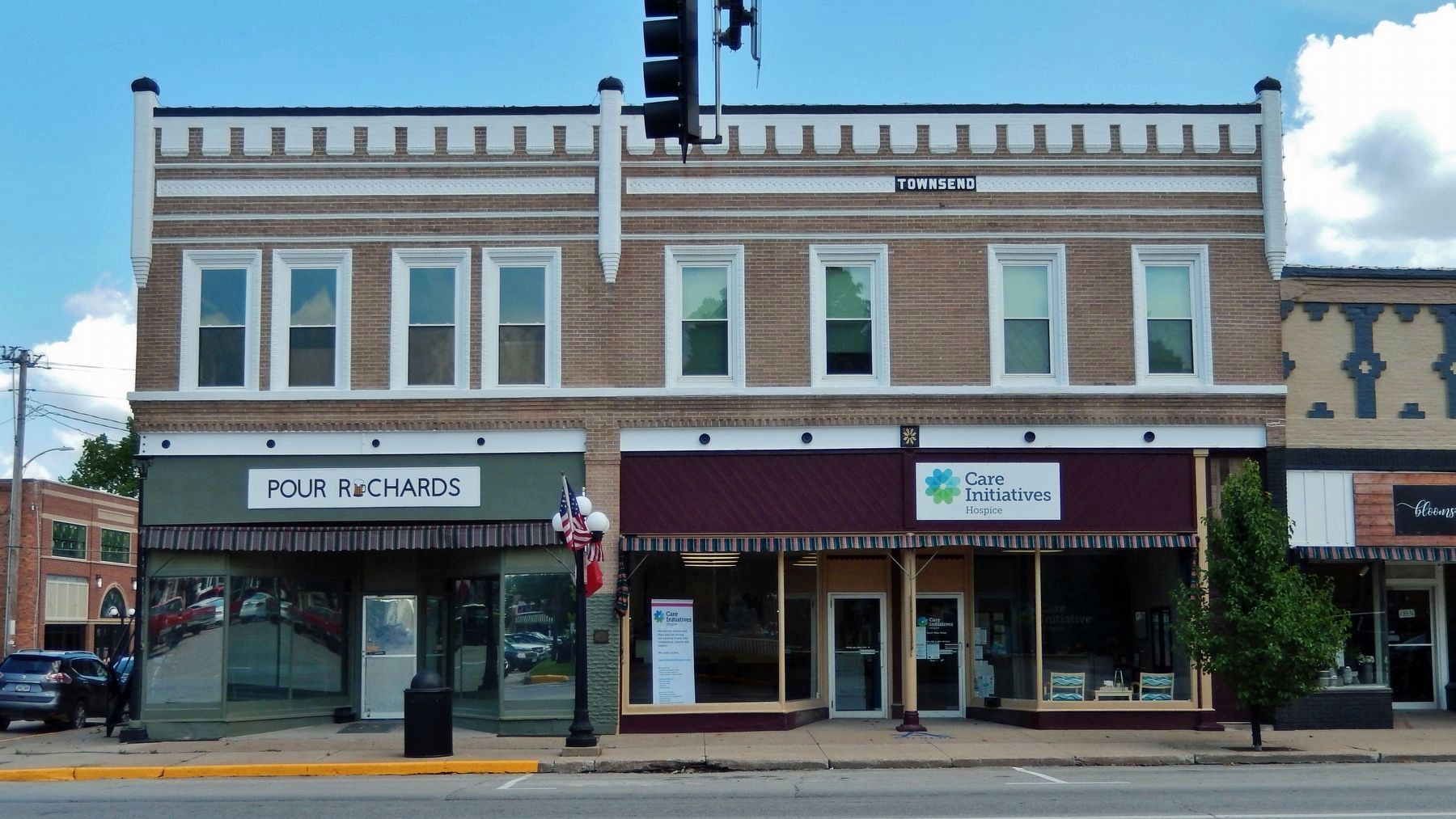
This building is a good example of the interest in a Neo-classical designed building made out of different kinds of brick (color and texture) that was popular between 1900 and 1910. The most unique feature of this building is the brown Milwaukee Brick from which it is built. Fred Townsend was very proud of this special brick showing it to friends prior to construction of the building.
The building, being of a later period, did not have a metal cornice rather corbeled brick was used to give the appearance of a cornice. Very subtle Neo-classical details are used and include stone egg and dart molding around the windows and a delicate Rinceau band beneath the corbeled cornice. The mini-turrets are a distinctive feature of the block.
The first business to occupy the north section was the Golden Eagle Department Store, a branch store from Oskaloosa that represents the Coal Mining boom years of Southern Iowa and Albia, which has historical significance in itself. Although this building’s relationship with the Golden Eagle was brief it was part of a phenomenon that will never be forgotten nor seen again.
The larger section housed Gantz & Kellogg grocery store for many years and the upstairs housed at various times the woodmen of the World lodge and Blue Moon Dance Hall.
Topics. This historical marker is listed in these topic lists: Architecture • Entertainment • Industry & Commerce. A significant historical year for this entry is 1902.
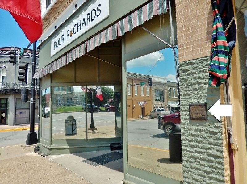
Location. 41° 1.62′ N, 92° 48.417′ W. Marker is in Albia, Iowa, in Monroe County. Marker is on South Main Street (Iowa Route 5) just south of Benton Avenue East (County Road H35), on the right when traveling north. Marker is mounted at eye-level, directly on the subject building, near the center of the west façade. Touch for map. Marker is at or near this postal address: 10 South Main Street, Albia IA 52531, United States of America. Touch for directions.
Other nearby markers. At least 8 other markers are within walking distance of this marker. 8-10 South Main Street (a few steps from this marker); 14 South Main Street (within shouting distance of this marker); Edward Doughtery & Son Building (within shouting distance of this marker); J. C. Morrison Block (within shouting distance of this marker); 18-20 South Main Street (within shouting distance of this marker); Iowa Bank Building (within shouting distance of this marker); Monroe County Civil War Monument (within shouting distance of this marker); Seaman & Clark Building (within shouting distance of this marker). Touch for a list and map of all markers in Albia.
Regarding Townsend's Corner Block. Contributing property, Albia Square and Central Commercial Historic District, NRHP #85000007.
Related markers. Click here for a list of markers that are related to this marker. Albia Square and Central Commercial Historic District
Credits. This page was last revised on December 12, 2021. It was originally submitted on December 7, 2021, by Cosmos Mariner of Cape Canaveral, Florida. This page has been viewed 275 times since then and 64 times this year. Photos: 1, 2, 3, 4. submitted on December 9, 2021, by Cosmos Mariner of Cape Canaveral, Florida.


