Perkins in Payne County, Oklahoma — The American South (West South Central)
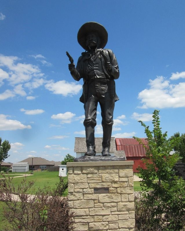
Frank "Pistol Pete" Eaton
by Wayne Cooper
Topics. This historical marker is listed in these topic lists: Patriots & Patriotism • Settlements & Settlers. A significant historical year for this entry is 1860.
Location. 35° 58.833′ N, 97° 1.933′ W. Marker is in Perkins, Oklahoma, in Payne County. Marker can be reached from North Main Street south of North 4th Street when traveling east. Located on the grounds of the Oklahoma Territorial Plaza. Touch for map. Marker is in this post office area: Perkins OK 74059, United States of America. Touch for directions.
Other nearby markers. At least 8 other markers are within walking distance of this marker. Frank Eaton Home (within shouting distance of this marker); Methodist Episcopal Church (within shouting distance of this marker); Davis-Longan Log Cabin (within shouting distance of this marker); Vassar Community Center (within shouting distance of this marker); CCC Outhouse (within shouting distance of this marker); Vassar Barn (within shouting distance of this marker); IXL Schoolhouse (about 300 feet away, measured in a direct line); Santa Fe Depot (about 400 feet away). Touch for a list and map of all markers in Perkins.
Credits. This page was last revised on December 9, 2021. It was originally submitted on December 9, 2021, by Jason Armstrong of Talihina, Oklahoma. This page has been viewed 173 times since then and 17 times this year. Photos: 1, 2. submitted on December 9, 2021, by Jason Armstrong of Talihina, Oklahoma. • J. Makali Bruton was the editor who published this page.

