Cranbrook in East Kootenay, British Columbia — Canada’s West Coast (North America)
Railway Centennial
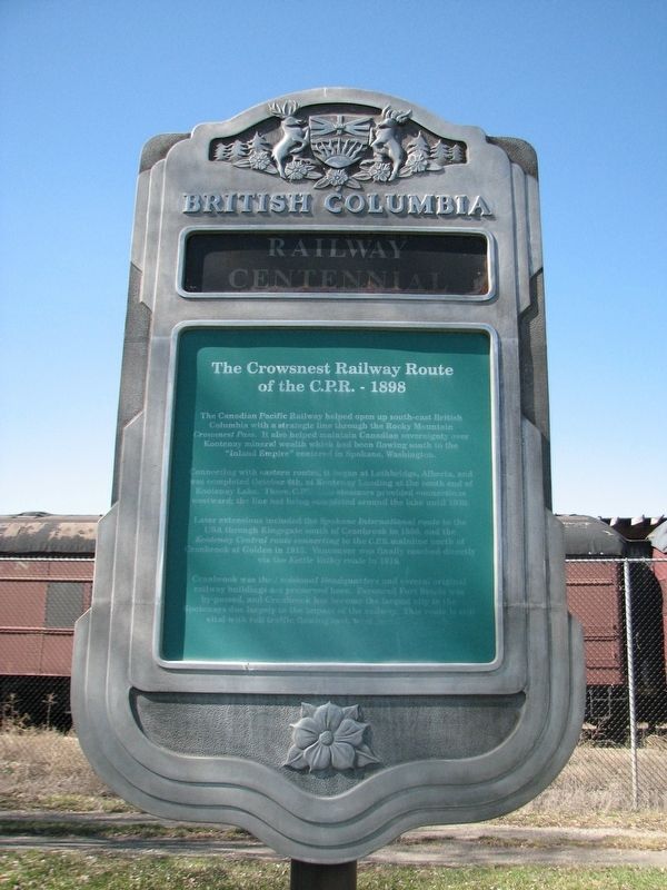
The Crowsnest Railway Route of the C.P.R. — 1898

B.C. Ministry of Transportation and Infrastructure via Flickr (CC BY-NC-ND 2.0), April 7, 2016
1. Railway Centennial Marker
Connecting with eastern routes, it began at Lethbridge, Alberta, and was completed October 6th, at Kootenay Landing at the south end of Kootenay Lake. There C.P.R.-owned steamers provided connections westward: the line not being completed around the lake until 1930.
Later extensions included the Spokane International route to the USA through Kingsgate south of Cranbrook in 1906, and the Kootenay Central route connecting to the C.P.R mainline north of Cranbrook at Golden in 1915. Vancouver was finally reached directly via the Kettle Valley route in 1916.
Cranbrook was the divisional Headquarters and several original railway buildings are preserved here. Favoured Fort Stele was by-passed, and Cranbrook has become the largest city in the Kootenays due largely to the impact of the railway. This route is still vital with rail traffic flowing.
Erected by Province of British Columbia.
Topics. This historical marker is listed in this topic list: Railroads & Streetcars . A significant historical date for this entry is October 6, 1898.
Location. 49° 30.573′ N, 115° 46.564′ W. Marker is in Cranbrook, British Columbia, in East Kootenay. Marker is on Van Horne Street South (Provincial Highway 3) south of 5th Avenue South, on the right when traveling south. Marker is in the Cranbrook History Centre parking lot. Touch for map. Marker is at or near this postal address: 57 Van Horne St S, Cranbrook BC V1C 4H9, Canada. Touch for directions.
Other nearby markers. At least 1 other marker is within 16 kilometers of this marker, measured as the crow flies. Fort Steele (approx. 15.8 kilometers away).
Credits. This page was last revised on February 16, 2022. It was originally submitted on December 10, 2021, by Duane and Tracy Marsteller of Murfreesboro, Tennessee. This page has been viewed 79 times since then and 7 times this year. Photo 1. submitted on December 10, 2021, by Duane and Tracy Marsteller of Murfreesboro, Tennessee.
Editor’s want-list for this marker. Wide shot of marker and surrounding area in context. • Can you help?