Near Beltsville in Prince George's County, Maryland — The American Northeast (Mid-Atlantic)
Abraham Hall: An African American Benevolent Lodge

Photographed By Devry Becker Jones (CC0), December 11, 2021
1. Abraham Hall: An African American Benevolent Lodge Marker
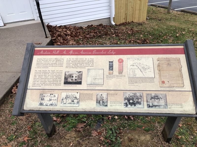
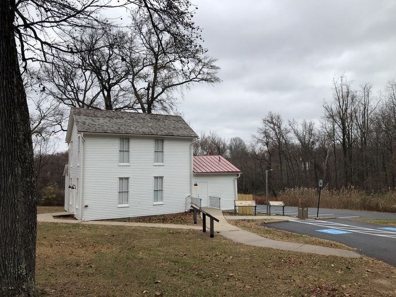
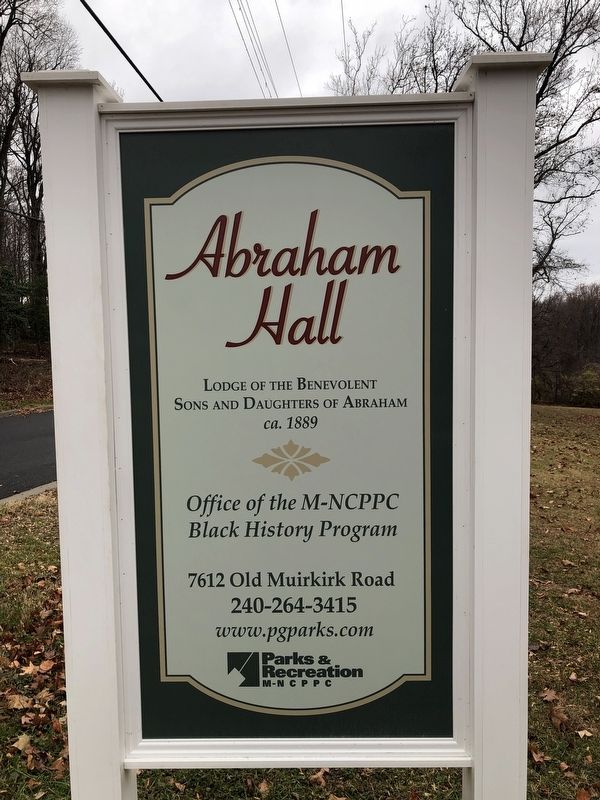
Abraham Hall was built in 1899 as a lodge for the Benevolent Sons and Daughters of Abraham. Chartered in 1877, this fraternal organization provided emergency financial assistance and death benefits to its members — a form of insurance not otherwise available to African Americans.
The lodge became the largest and most substantial building in the African American community of Rossville, which was named after Augustus Ross, one of its first settlers. After Queen's Chapel United Methodist Episcopal Church burned down in the 1890s, church services were held in Abraham Hall until 1901, when a new chapel was built. The lodge was also used as a schoolhouse in the years before the construction of Muirkirk School in 1922.
As the first black historic site in Prince George's County to be restored with public funds, Abraham Hall marks a significant milestone in the preservation efforts of the county. Abraham Hall is owned and operated by The Maryland-National Capital Park and Planning Commission.
Erected by Maryland-National Capital Parks and Planning Commission.
Topics. This historical marker is listed in these topic lists: African Americans • Churches & Religion • Education • Fraternal or Sororal Organizations. A significant historical year for this entry is 1899.
Location. 39° 3.552′ N, 76° 52.398′ W. Marker is near Beltsville, Maryland, in Prince George's County. Marker is on Old Muirkirk Road, 0.2 miles north of Muirkirk Road, on the right when traveling north. Touch for map. Marker is at or near this postal address: 7612 Old Muirkirk Rd, Beltsville MD 20705, United States of America. Touch for directions.
Other nearby markers. At least 8 other markers are within walking distance of this marker. Three Sisters: Close Knit Communities of the Laurel Area (here, next to this marker); When the Iron was Hot: African American Ironworkers of Muirkirk (here, next to this marker); Iron Production: Maryland's Industrial Past / The Ironmaking Process (a few steps from this marker); Queen’s Chapel Methodist Church, Established 1868 (approx. 0.2 miles away); The Dinosaurs of Dinosaur Park (approx. 0.8 miles away); Welcome to Dinosaur Park (approx. 0.8 miles away); The Industrial Heritage of Dinosaur Park (approx. 0.8 miles away); Meet Astrodon johnstoni (approx. 0.8 miles away). Touch for a list and map of all markers in Beltsville.
Related marker. Click here for another marker that is related to this marker. This marker has replaced the linked marker.
Additional keywords. Mutual Aid
Credits. This page was last revised on December 11, 2021. It was originally submitted on December 11, 2021, by Devry Becker Jones of Washington, District of Columbia. This page has been viewed 241 times since then and 27 times this year. Photos: 1, 2, 3. submitted on December 11, 2021, by Devry Becker Jones of Washington, District of Columbia.

