Tonopah in Nye County, Nevada — The American Mountains (Southwest)
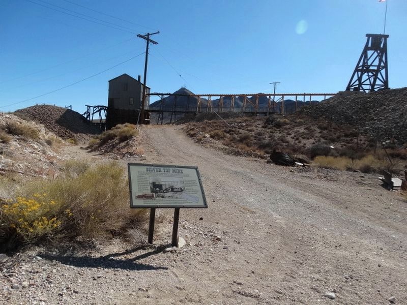
Silver Top Mine
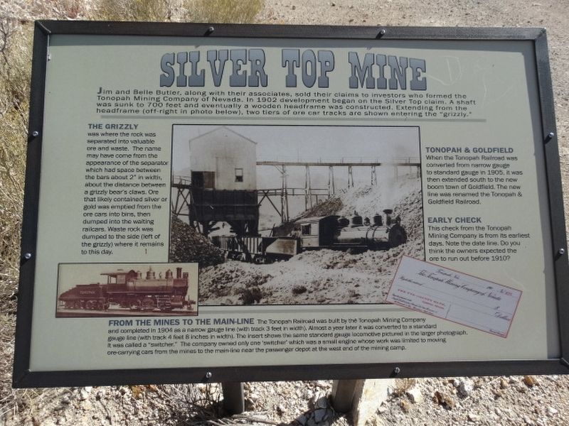
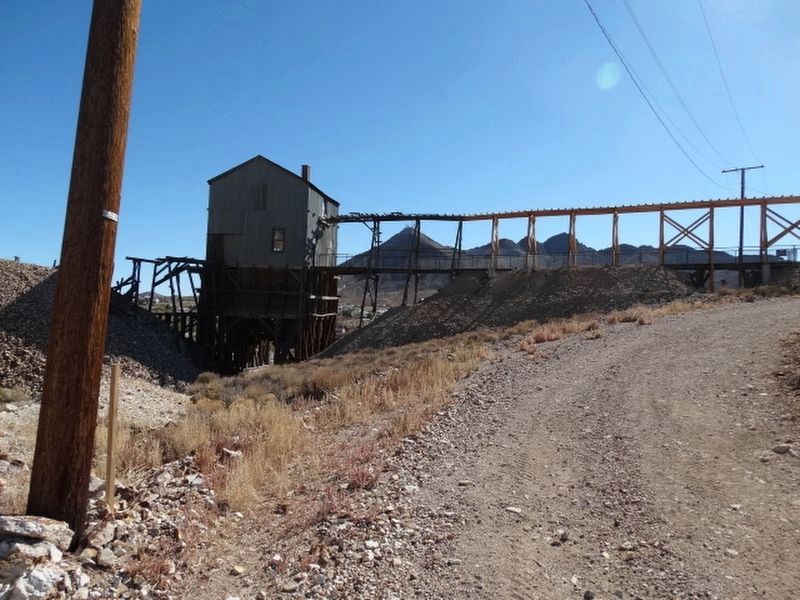
The Grizzly was where the rock was separated into valuable ore and waste. The name may have come from the appearance of the separator, which had space between a grizzly bear's claws. Ore that likely contained silver or gold was emptied from the ore cars into bins, then dumped into the waiting railcars. Waste rock was dumped to the side (left of the grizzly) where it remains to this day.
Tonopah & Goldfield
When the Tonopah Railroad was converted from narrow gauge to standard gauge in 1905. It was then extended south to the new boomtown of Goldfield. The new line was renamed the Tonopah & Goldfield Railroad.
Early Check
This check from the Tonopah Mining Company is from its earliest days. Note the date line. Do you think the owners expected the ore to run out before 1910?
From The Mines To The Main-Line
The Tonopah Railroad was built by the Tonopah Mining Company and completed in 1904 as a narrow gauge line (with 3 feet in width). Almost a year later it was converted to a standard gauge line (with track 4 feet 8 inches in width). The insert shows the same standard gauge locomotive pictured in the larger photograph. It was called a "switcher." The company owned only one "switcher" which was a small engine whose work was limited to moving ore-carrying cars from the mines to the main-line near the passenger depot at the west end of the mining camp.
Erected by Tonopah Historic Mining Park.
Topics. This historical marker is listed in these topic lists: Industry & Commerce • Railroads & Streetcars • Settlements & Settlers. A significant historical year for this entry is 1902.
Location. 38° 4.136′ N, 117° 13.591′ W. Marker is in Tonopah, Nevada, in Nye County. Marker is on Burro Avenue, on the left when traveling east. Located in the Tonopah Historic Mining Park. Touch for map. Marker is at or near this postal address: 110 Burro Avenue, Tonopah NV 89049, United States of America. Touch for directions.
Other nearby markers. At least 8 other markers are within walking distance of this marker. A Miner's Life (a few steps from this marker); Mine To Market (within shouting distance of this marker); The Tonopah Mining Boom (about 300 feet away, measured in a direct line); Silver Vein (about 300 feet away); Glory Hole (about 400 feet away); Haul Out The Riches (about 500 feet away); Belle's Mine (about 600 feet away); Up From The Depths (about 700 feet away). Touch for a list and map of all markers in Tonopah.
Credits. This page was last revised on December 20, 2021. It was originally submitted on December 12, 2021, by Denise Boose of Tehachapi, California. This page has been viewed 238 times since then and 19 times this year. Photos: 1, 2, 3, 4. submitted on December 12, 2021, by Denise Boose of Tehachapi, California. • Andrew Ruppenstein was the editor who published this page.


