Toston in Broadwater County, Montana — The American West (Mountains)
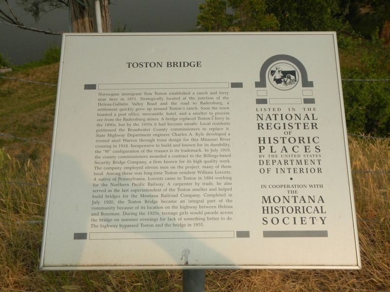
Toston Bridge
Photographed by Barry Swackhamer, July 17, 2021
1. Toston Bridge Marker
this page online
Erected by Montana Historical Society.
Topics and series. This historical marker is listed in this topic list: Bridges & Viaducts. In addition, it is included in the Montana National Register Sign Program series list.
Location. 46° 10.339′ N, 111° 26.539′ W. Marker is in Toston, Montana, in Broadwater County. It is on Bypass U.S. 287 near Slifka Lane, on the right when traveling west. Touch for map. Marker is in this post office area: Toston MT 59643, United States of America. Touch for directions.

Regionally, this marker is in Gold West Country and in Greater Helena. It is also in the American Mountain West and in the Lewis &
Photographed by Barry Swackhamer, July 17, 2021
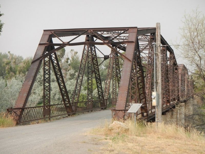
2. Toston Bridge and Marker
Other nearby markers. At least 8 other markers are within 14 miles of this marker, measured as the crow flies: Toston Smelter (about 300 feet away, measured in a direct line); Lorentz Homestead (about 700 feet away); Lewis and Clark Trail (approx. 3.8 miles away); Yorks Islands (approx. 6.9 miles away); Valley Masonic Lodge No. 21 (approx. 10.8 miles away); State Bank of Townsend (approx. 10.9 miles away); Crimson Bluffs (approx. 10.9 miles away); Thar's Gold in Them Thar Hills (approx. 13.6 miles away). Touch for a list and map of all markers in Toston.
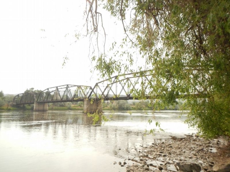
More about this marker. The Toston Bridge spans the Missouri River on an abandoned segment of old US Highway 287 at Toston, Montana.
Photographed by Barry Swackhamer, July 17, 2021
3. Toston Bridge
Credits. This page was last revised on December 24, 2021. It was originally submitted on December 24, 2021, by Barry Swackhamer of Brentwood, California. This page has been viewed 399 times since then and 38 times this year. Photos: 1, 2, 3. submitted on December 24, 2021, by Barry Swackhamer of Brentwood, California.
