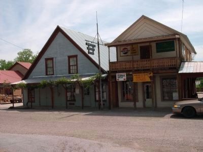
Near Rockville in Parke County, Indiana — The American Midwest (Great Lakes)
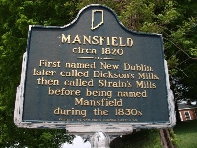
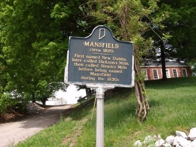
Mansfield circa 1820
Erected 1968 by Parke County Historical Society. (Marker Number 61.1968.3.)
Topics and series. This historical marker is listed in these topic lists: Government & Politics • Landmarks • Notable Places. In addition, it is included in the Indiana Historical Bureau Markers series list.
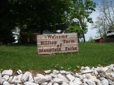
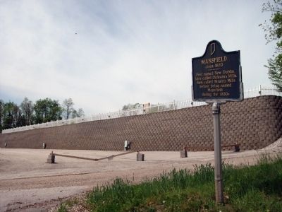
Location. 39° 40.578′ N, 87° 6.157′ W. Marker is near Rockville, Indiana, in Parke County. Marker is on County Road S830E north of State Road 59, on the left when traveling north. May need your G.P.S. - - county road signs in this area are not what is listed on maps. Give yourself plenty of time driving this area. If you get lost, ask anyone. Residents in this area are very helpful. Touch for map. Marker is in this post office area: Rockville IN 47872, United States of America. Touch for directions.
Other nearby markers. At least 8 other markers are within 9 miles of this marker, measured as the crow flies. 10 O'Clock Line (approx. 4.3 miles away); State Sanatorium Covered Bridge (approx. 7.6 miles away); First Church Built in Parke County Indiana (approx. 7.7 miles away); Site Of Shiloh Presbyterian Church (approx. 7.7 miles away); Gov. Joseph A. Wright (approx. 8.1 miles away); The Batty Mine Location (approx. 8.4 miles away); Birthplace of Mordecai Brown (approx. 8˝ miles away); Portland Mills (approx. 8.6 miles away). Touch for a list and map of all markers in Rockville.
Additional keywords. Flea Marketing Covered Bridge Festival
Credits. This page was last revised on June 16, 2016. It was originally submitted on May 12, 2009, by Al Wolf of Veedersburg, Indiana. This page has been viewed 1,032 times since then and 12 times this year. Photos: 1, 2, 3, 4, 5, 6. submitted on May 12, 2009, by Al Wolf of Veedersburg, Indiana. • Syd Whittle was the editor who published this page.
