Knoxville in Knox County, Tennessee — The American South (East South Central)
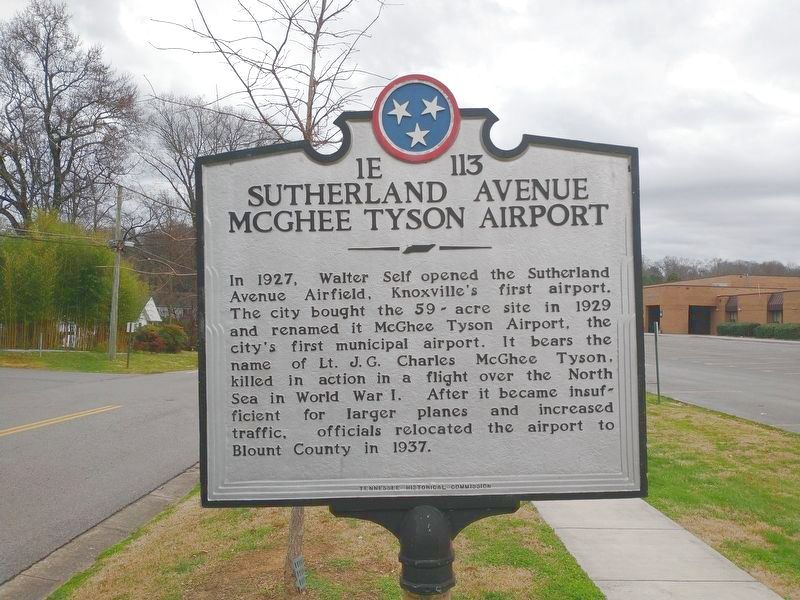
Sutherland Avenue McGhee Tyson Airport
Erected by Tennessee Historical Commission. (Marker Number 1E 113.)
Topics. This historical marker is listed in these topic lists: Air & Space • War, World I. A significant historical year for this entry is 1927.
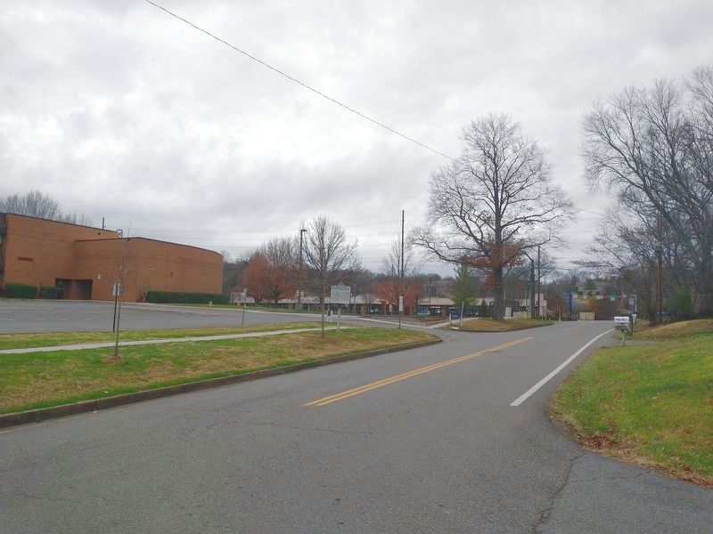
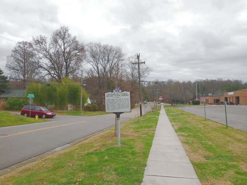
Location. 35° 56.934′ N, 83° 58.349′ W. Marker is in Knoxville, Tennessee, in Knox County. Marker is at the intersection of Tobler Lane NW and Windsor Avenue NW, on the left when traveling north on Tobler Lane NW. Touch for map. Marker is at or near this postal address: 400 Tobler Ln NW, Knoxville TN 37919, United States of America. Touch for directions.
Other nearby markers. At least 8 other markers are within 2 miles of this marker, measured as the crow flies. Medal of Honor Recipients (approx. ¼ mile away); UT RecSports Complex (approx. half a mile away); The Everly Brothers (approx. ¾ mile away); Bleak House (approx. 0.9 miles away); Longstreet's Headquarters (approx. 0.9 miles away); Herbert H. Hoover (approx. 1.3 miles away); Indian Mound (approx. 1.6 miles away); Burial Mound (approx. 1.6 miles away). Touch for a list and map of all markers in Knoxville.
Also see . . .
1. Sutherland Avenue community helps airport take flight. (Submitted on December 26, 2021, by Tom Bosse of Jefferson City, Tennessee.)
2. Knoxville’s airport history began in Bearden. (Submitted on December 26, 2021, by Tom Bosse of Jefferson City, Tennessee.)
Credits. This page was last revised on December 26, 2021. It was originally submitted on December 26, 2021, by Tom Bosse of Jefferson City, Tennessee. This page has been viewed 417 times since then and 30 times this year. Photos: 1, 2, 3. submitted on December 26, 2021, by Tom Bosse of Jefferson City, Tennessee. • Mark Hilton was the editor who published this page.


