Historic Edgefield in Nashville in Davidson County, Tennessee — The American South (East South Central)
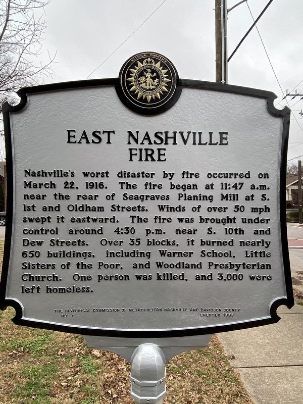
East Nashville Fire
Erected 1968 by the Historical Commission of Metropolitan Nashville and Davidson County. (Marker Number 7.)
Topics. This historical marker is listed in this topic list: Disasters. A significant historical date for this entry is March 22, 1916.
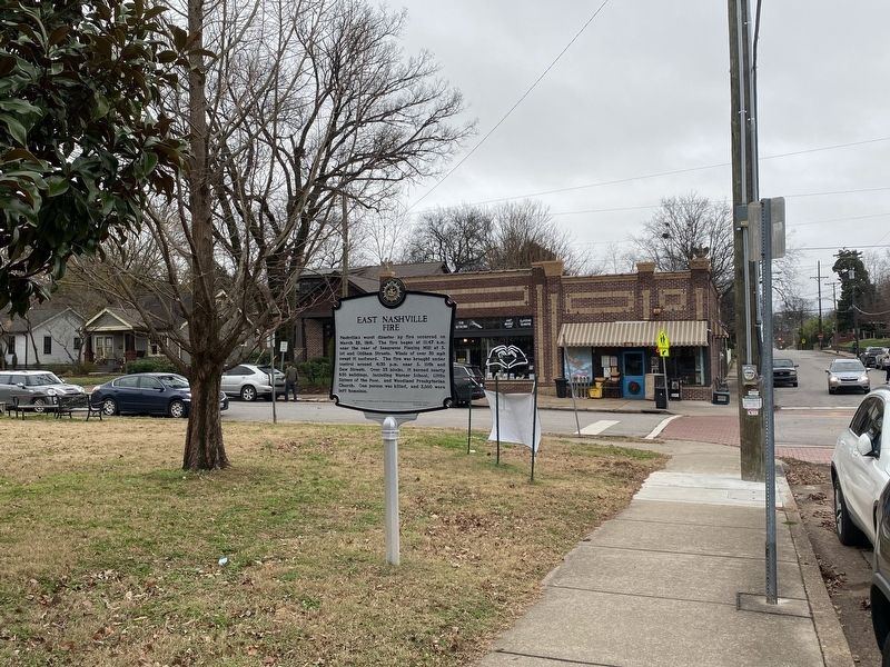
Location. 36° 10.3′ N, 86° 45.549′ W. Marker is in Nashville, Tennessee, in Davidson County. It is in Historic Edgefield. Marker is on Fatherland Street, on the left when traveling east. Touch for map. Marker is at or near this postal address: 701 Fatherland St, Nashville TN 37206, United States of America. Touch for directions.
Other nearby markers. At least 8 other markers are within walking distance of this marker. Miles House (approx. 0.2 miles away); Surrender of Nashville 612 Woodland Street (approx. 0.2 miles away); Jesse James House (approx. ¼ mile away); City of Edgefield (approx. ¼ mile away); First Baptist Church (approx. ¼ mile away); Shelby Park (approx. 0.3 miles away); Meigs School (approx. 0.3 miles away); a different marker also named Shelby Park (approx. 0.4 miles away). Touch for a list and map of all markers in Nashville.
Credits. This page was last revised on February 7, 2023. It was originally submitted on December 26, 2021, by Darren Jefferson Clay of Duluth, Georgia. This page has been viewed 200 times since then and 47 times this year. Photos: 1, 2. submitted on December 26, 2021, by Darren Jefferson Clay of Duluth, Georgia. • Mark Hilton was the editor who published this page.

