Denham Springs in Livingston Parish, Louisiana — The American South (West South Central)
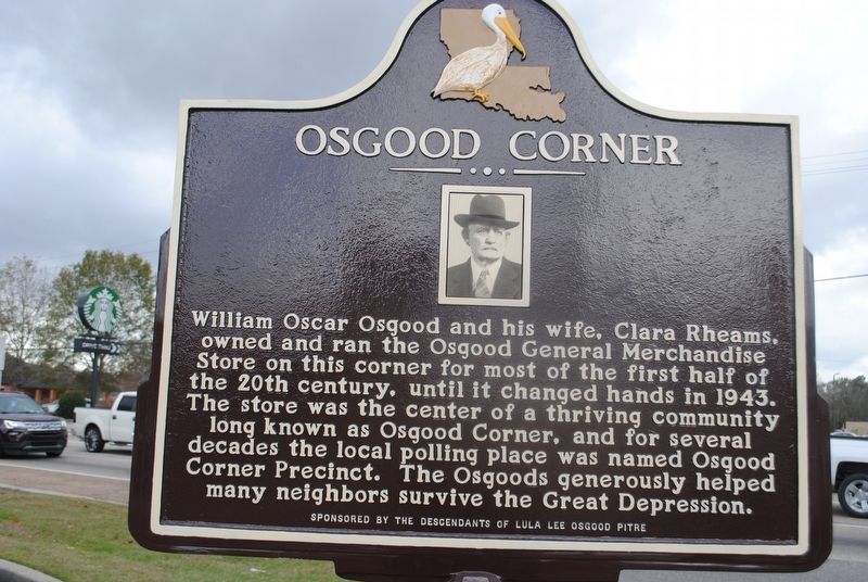
Osgood Corner
William Oscar Osgood and his wife, Clara Rheams, owned and ran the Osgood General Merchandise Store on this corner for most of the first half of the 20th century, until it changed hands in 1943. The store was the center of a thriving community long known as Osgood Corner, and for several decades the local polling place was named Osgood Corner Precinct. The Osgoods generously helped many neighbors survive the Great Depression.
Erected by The Descendants of Lula Lee Osgood Pitre.
Topics. This historical marker is listed in these topic lists: Industry & Commerce • Settlements & Settlers.
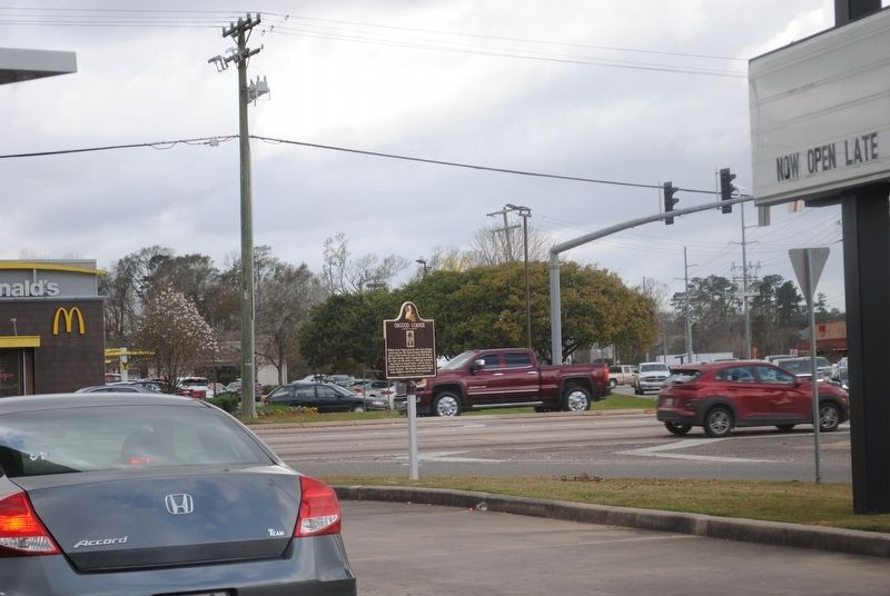
Location. 30° 31.675′ N, 90° 57.351′ W. Marker is in Denham Springs, Louisiana, in Livingston Parish. Marker is at the intersection of North Range Avenue (State Highway 16) and Lockhart Road (State Highway 1026), on the right when traveling north on North Range Avenue. Touch for map. Marker is at or near this postal address: 31706 LA-16, Denham Springs LA 70726, United States of America. Touch for directions.
Other nearby markers. At least 8 other markers are within 7 miles of this marker, measured as the crow flies. Denham Springs Historic Site (approx. 2.7 miles away); Historic Denham Springs (approx. 2.9 miles away); Indians Along Amite River (approx. 3.1 miles away); Denham Springs (approx. 3.3 miles away); Watson (approx. 3.4 miles away); Greenwell Springs (approx. 4 miles away); Parish of St. Alphonsus Liguori (approx. 4.7 miles away); Walker, Louisiana (approx. 6.2 miles away). Touch for a list and map of all markers in Denham Springs.
More about this marker. Address given is Burger King, where marker is located.
Credits. This page was last revised on December 29, 2021. It was originally submitted on December 29, 2021, by Cajun Scrambler of Assumption, Louisiana. This page has been viewed 988 times since then and 125 times this year. Photos: 1, 2. submitted on December 29, 2021, by Cajun Scrambler of Assumption, Louisiana.

