Croom in Prince George's County, Maryland — The American Northeast (Mid-Atlantic)
Columbia Air Center
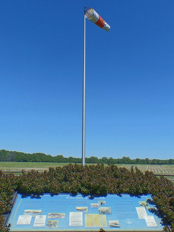
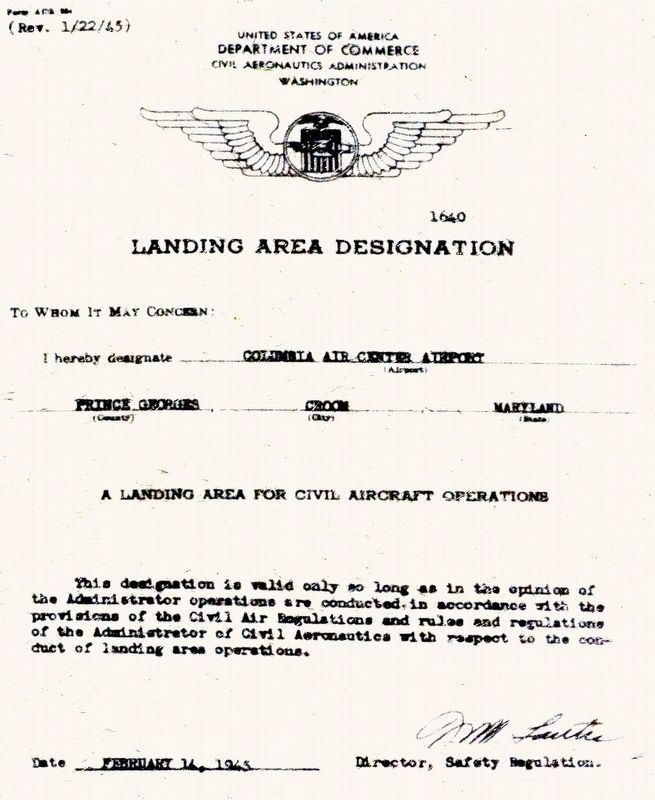
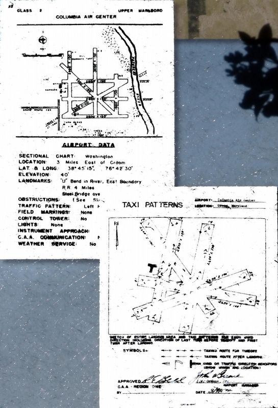
Columbia Air Center provided access to aviation for African American pilots during an era of discrimination. It began operations in 1941 as Riverside Field with one east-west turf runway an office and a hangar. The land was leased by pilot John W. Greene and Dr. Coleridge Gill who, between them owned six aircraft. Greene's association with Phelps Vocational School not only brought many students to the field for on-site flight instruction, ground school and mechanics but also spurred community interest in aviation.
When the U.S. Navy took over the airport's operations, during World War II, it added seven turf runaways and a 121-foot pier on the Patuxent River. With its return to civilian use, and a new name Columbia Air Center was reorganized to reflect a new vision for the site as both an airport and recreational center for the African American community with frequent picnics, hangar dances motorcycle racing, canoeing and flying. The Columbia Air Center operated only during daylight hours and offered a flying school, charter services, aircraft maintenance, fuel and tie down space for private pilots. It used a large fleet of aircraft, and became a dealer for Aeronca Aircraft and Continental Engines.
Greene managed the airfield until 1954. Columbia Air Center closed in 1956 when the landowner's heirs decided to sell the property. In 1959, the land became part of Patuxent River Park and is now owned by The Maryland National Capital Park and Planning Commission.
The End of an Era at Columbia Air Center
Upon the retirement of John Greene, Shirley King served as an interim manager, followed by partners Charles E. Wren and Herbert H. Jones. They operated the field as the “W and J Flying Service”.
Herbert Jones had served as an Army Air Corps aviation cadet at the Tuskegee Army Airfield during World War II. After the war he returned on the G.I. Bill to earn his flight instructors rating. After leaving the Columbia Air Center, Mr. Jones worked as a corporate pilot and operated flying schools at both Hyde Field and Potomac Airpark in Clinton, Maryland
Charles Wren continued to manage the airfield as the “Capital Flying Club" with partners William L. Taylor and Albert L. Young. Wren and Taylor, along with Charles H. Dabney, also formed “The Sportsmen”, which organized many of the recreational events at the airport unit it closed its doors forever in 1956.
Topics. This historical marker is listed in these topic lists: African Americans • Air & Space.
Location. 38° 45.211′ N, 76° 42.57′ W. Marker is in Croom, Maryland, in Prince George's County. Marker is on Croom Airport Road, on the right when traveling east. At Patuxent River Park. Touch for map. Marker is at or near this postal address: 16265 Croom Airport Rd, Upper Marlboro MD 20772, United States of America. Touch for directions.
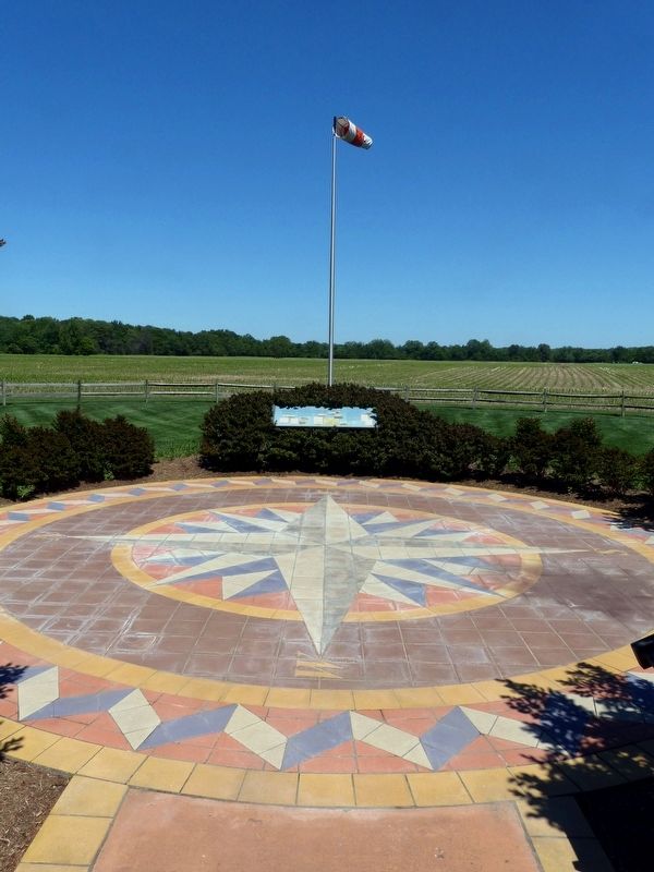
Other nearby markers. At least 8 other markers are within walking distance of this marker. The Compass Rose (here, next to this marker); The Cloud Club (here, next to this marker); John W. Greene (here, next to this marker); The Chesapeake Bay Critical Area Driving Tour (within shouting distance of this marker); Eastern Bluebird (about 300 feet away, measured in a direct line); Aviation History (approx. ¼ mile away); Man and the River (approx. 0.4 miles away); Woodland Indian Villages on the Patuxent River (approx. half a mile away). Touch for a list and map of all markers in Croom.
Credits. This page was last revised on January 7, 2022. It was originally submitted on July 24, 2017, by Allen C. Browne of Silver Spring, Maryland. This page has been viewed 368 times since then and 54 times this year. Last updated on December 30, 2021, by Carl Gordon Moore Jr. of North East, Maryland. Photos: 1, 2, 3, 4, 5, 6. submitted on July 24, 2017, by Allen C. Browne of Silver Spring, Maryland. • Mark Hilton was the editor who published this page.

