Villa del Carbón, Mexico State, Mexico — The Central Highlands (North America)
Old City Hall
Herencia Otomí
Inscription.
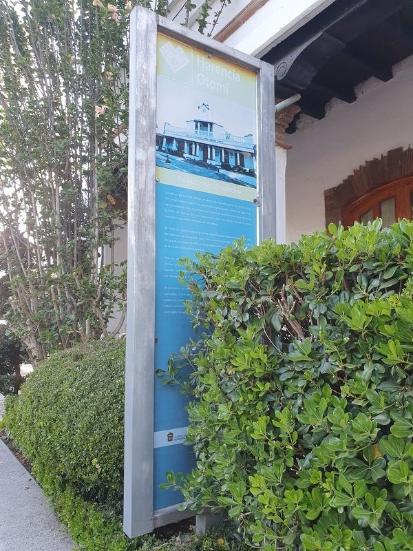
Situado en plena Plaza Hidalgo, el edificio que hoy alberga la Casa de la Cultura “Dr. Jorge Jiménez Cantú” fue construido originalmente a finales del siglo XVIII, tras la fundación de la Villa Nueva del Carbón de nuestra Señora Santa María de la Peña de Francia. En esa época tenía una sola planta, usando el estilo neoclásico que estaba en boga por esa época.
En 1926, la construcción original fue demolida para después resconstruirla con dos plantas. Fue inaugurada hasta 1931 y sirvió de alcadia hasta el año de 1980, en que se construyó un edificio más acorde a las funciones de gobierno. En 1996 se le añadió el reloj de la fachada.
Tras ser restaurado, el edificio fue convertido en casa de la cultura que incluye la biblioteca pública “Excmo. Emeterio Valverde Tellez” en honor de quien era filósofo, historiador, bibliófilo y académico mexicano, que fue obispo de León por varias décadas.
Actualmente es uno de los puntos principales de la localidad, con eventos culturales, cursos abiertos y talleres de arte que llegan a una gran parte de la población local. Ademas de la biblioteca, el centro incluye un auditorium, un centro comunitario y un museo, donde se pueden apreciar distintas piezas prehispánicas encontradas en la región.
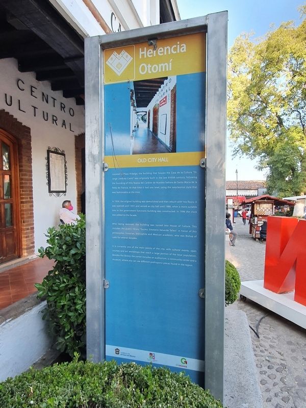
Old City Hall
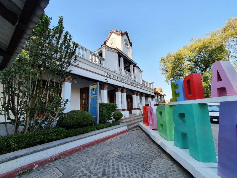
Located in Plaza Hidalgo, the building that houses the Casa de la Cultura “Dr. Jorge Jiménez Cantú” was originally built in the late XVIIIth century, following the founding of Villa Nueva del Carbón de Nuestra Señora de Santa María de la Peña de Francia. At that time it had one level, using the neoclassical style that was fashionable at the time.
After being restored, the building was turned into House of culture. This includes the public library “Excmo. Emeterio Valverde Tellez”, in honor of this philosopher, historian, bibliophile and Mexican academic, who was a Bishop of León for several decades.
It is currently one of the main points of the city, with cultural events, open courses and art workshops that reach a large portion of the local poulation. Besides the library, the center includes an auditorium, a community center and a museum, where you can see different prehispanic pieces found in the region.
Erected by Gobierno del Estado de México.
Topics. This historical marker is listed in these topic lists: Arts, Letters, Music • Education • Entertainment. A significant historical year for this entry is 1926.
Location. 19° 43.701′ N, 99° 27.816′ W. Marker is in Villa del Carbón, Estado de Mexico (Mexico State). Marker is on Estado de Mexico Route 5 just west of Hidalgo, on the right when traveling west. Touch for map. Marker is in this post office area: Villa del Carbón MEX 54300, Mexico. Touch for directions.
Other nearby markers. At least 8 other markers are within 14 kilometers of this marker, measured as the crow flies. Bicentennial Tree (within shouting distance of this marker); Hidalgo Plaza and Los Portales (within shouting distance of this marker); Church of the Virgen de la Peña de Francia (within shouting distance of this marker); Constituent Congress of 1856-1857 (about 90 meters away, measured in a direct line); Children Heroes Memorial (approx. 11.6 kilometers away); Church of San Miguel Arcángel (approx. 11.7 kilometers away); Sierra of Tepotzotlán (approx. 13.1 kilometers away); The Aqueduct of Xalpa (approx. 13.3 kilometers away). Touch for a list and map of all markers in Villa del Carbón.
Credits. This page was last revised on December 30, 2021. It was originally submitted on December 30, 2021, by J. Makali Bruton of Accra, Ghana. This page has been viewed 62 times since then and 8 times this year. Photos: 1, 2, 3. submitted on December 30, 2021, by J. Makali Bruton of Accra, Ghana.


