Empire in Washoe County, Nevada — The American Mountains (Southwest)
Empire
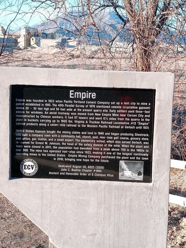
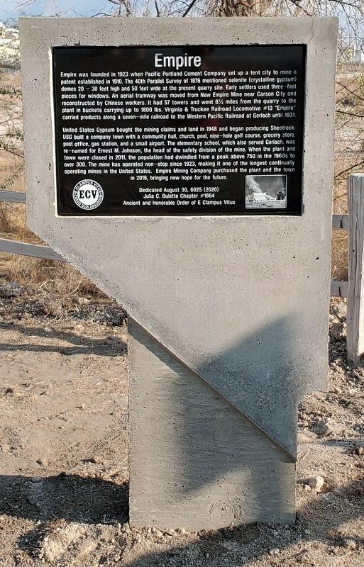
Empire was founded in 1923 when Pacific Portland Cement Company set up a tent city to mine a patent established in 1910. The 40th Parallel Survey of 1876 mentioned selenite (crystalline gypsum) domes 20 – 30 feet high and 50 feet wide at the present quarry site. Early settlers used three-foot pieces for windows. An aerial tramway was moved from New Empire Mine near Carson City and reconstructed by Chinese workers. It had 57 towers and went 6˝ miles from the quarry to the plant in buckets carrying up to 1800 lbs. Virginia & Truckee Railroad Locomotive #13 "Empire" carried products along a seven-mile railroad to the Western Pacific Railroad at Gerlach until 1931.
United States Gypsum bought the mining claims and land in 1948 and began producing Sheetrock. USG built a company town with a community hall, church, pool, nine-hole golf course, grocery store, post office, gas station, and a small airport. The elementary school, which also served Gerlach, was re-named for Ernest M. Johnson, the head of the safety division of the mine. When the plant and town were closed in 2011, the population had dwindled from a peak above 750 in the 1960s to over 300. The mine has operated non-stop since 1923, making it one of the longest continually operating mines in the United States. Empire Mining Company purchased the plant and the town in 2016, bringing new hope for the future.
Dedicated August 30, 6025 (2020)
Julia C. Bulette Chapter #1864
Ancient and Honorable Order of E Clampus Vitus
Erected 2020 by Julia C. Bulette Chapter #1864, E Clampus Vitus.
Topics and series. This historical marker is listed in these topic lists: Industry & Commerce • Railroads & Streetcars • Settlements & Settlers. In addition, it is included in the E Clampus Vitus series list. A significant historical year for this entry is 1923.
Location. 40° 34.425′ N, 119° 20.197′ W. Marker is in Empire, Nevada, in Washoe County. Marker is at the intersection of Route 447 and C Street, on the left when traveling north on Route 447. Touch for map. Marker is in this post office area: Gerlach NV 89412, United States of America. Touch for directions.
Other nearby markers. At least 1 other marker is within 6 miles of this marker, measured as the crow flies. Gerlach (approx. 5˝ miles away).
More about this marker. The marker is in front of the Empire Mining Company sign.
Credits. This page was last revised on January 11, 2022. It was originally submitted on February 28, 2021, by Lance C Johnson of Sun Valley, Nevada. This page has been viewed 393 times since then and 32 times this year. Last updated on January 2, 2022, by Matthew J Ebert of Gerlach, NV. Photos: 1. submitted on February 28, 2021, by Lance C Johnson of Sun Valley, Nevada. 2. submitted on October 21, 2021, by Matthew J Ebert of Gerlach, NV. • Syd Whittle was the editor who published this page.

