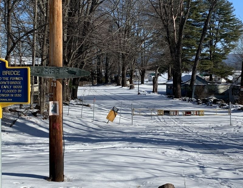
Near Mayfield in Fulton County, New York — The American Northeast (Mid-Atlantic)
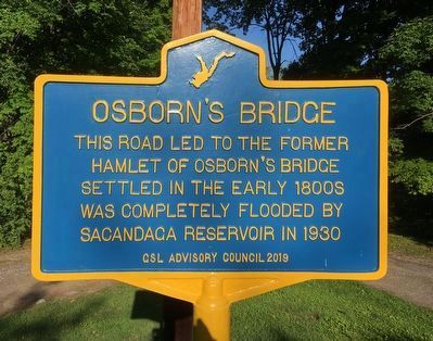
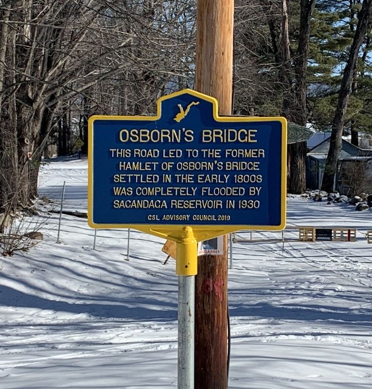
Osbornís Bridge
This road led to the former
hamlet of Osborn's Bridge
Settled in the early 1800s
Was completely flooded by
Sacandaga Reservoir in 1930.
Erected 2019 by GSL Advisory Council.
Topics. This historical marker is listed in this topic list: Settlements & Settlers. A significant historical year for this entry is 1930.
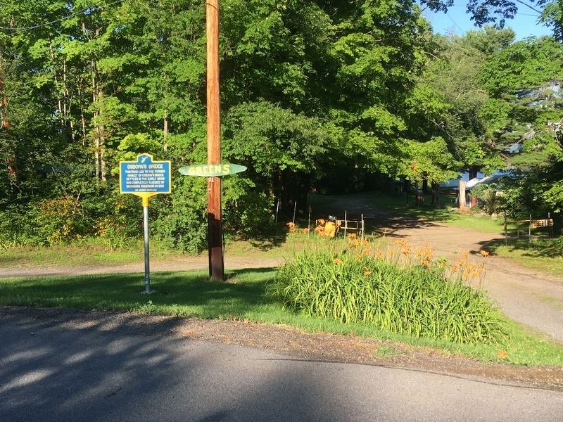
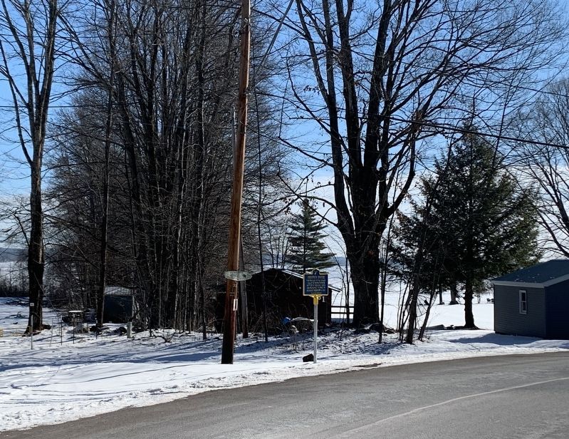
Location. 43° 10.165′ N, 74° 10.972′ W. Marker is near Mayfield, New York, in Fulton County. Marker is on Bunker Hill Road, 1.8 miles south of Hampton Point Road (County Route 152), on the right when traveling south. Touch for map. Marker is in this post office area: Mayfield NY 12117, United States of America. Touch for directions.
Other nearby markers. At least 8 other markers are within 4 miles of this marker, measured as the crow flies. Sweets Crossing (approx. 1Ĺ miles away); Cranberry Creek (approx. 1.7 miles away); a different marker also named Cranberry Creek (approx. 2.1 miles away); King Cemetery (approx. 2Ĺ miles away); Sacandaga Pike (approx. 2Ĺ miles away); Sacandaga Park (approx. 2.9 miles away); First Maple Sap Tubing System (approx. 3 miles away); Marvin House (approx. 3.1 miles away). Touch for a list and map of all markers in Mayfield.
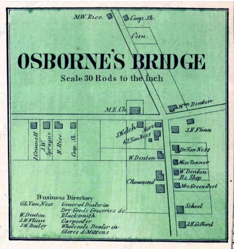
Photographed By J. Jay Stranahan and Beach Nichols in 1868
6. Osbornís Bridge 1868
From Montgomery and Fulton Counties 1868, New York
Published by J. Jay Stranahan and Beach Nichols in 1868
The covered bridge over the Sacandaga River would have been a short distance to the east of this hamlet.
Credits. This page was last revised on July 24, 2022. It was originally submitted on January 17, 2022, by Steve Stoessel of Niskayuna, New York. This page has been viewed 387 times since then and 57 times this year. Photos: 1. submitted on July 22, 2022, by Howard C. Ohlhous of Duanesburg, New York. 2. submitted on January 17, 2022, by Steve Stoessel of Niskayuna, New York. 3. submitted on July 22, 2022, by Howard C. Ohlhous of Duanesburg, New York. 4, 5. submitted on January 17, 2022, by Steve Stoessel of Niskayuna, New York. 6. submitted on July 22, 2022, by Howard C. Ohlhous of Duanesburg, New York. • Michael Herrick was the editor who published this page.
