Near Mayfield in Fulton County, New York — The American Northeast (Mid-Atlantic)
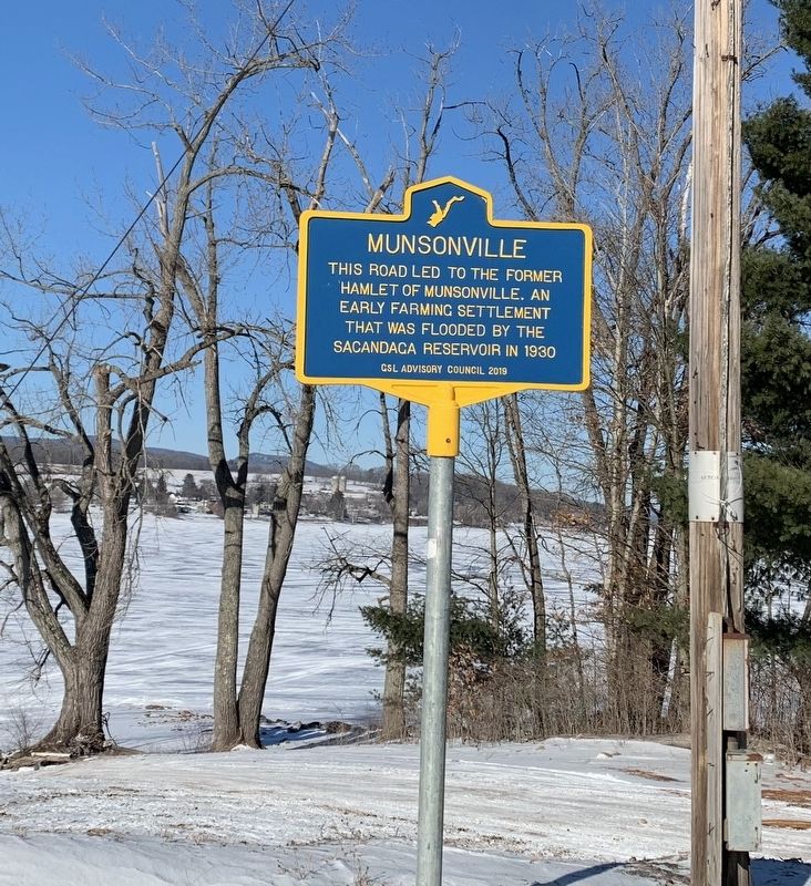
Munsonville
This road led to the former hamlet of Munsonville. An early farming settlement that was flooded by the Sacandaga Reservoir in 1930.
Erected 2019 by GSL Advisory Council.
Topics. This historical marker is listed in this topic list: Settlements & Settlers. A significant historical year for this entry is 1930.
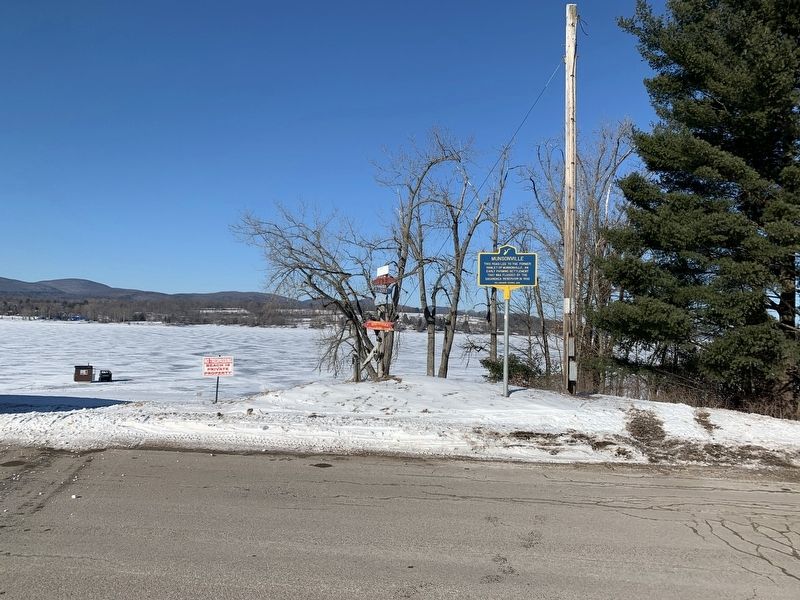
Location. 43° 5.823′ N, 74° 14.007′ W. Marker is near Mayfield, New York, in Fulton County. Marker is on Vandenburgh Point Road, ¼ mile east of Highland Road, on the left when traveling east. Touch for map. Marker is in this post office area: Gloversville NY 12078, United States of America. Touch for directions.
Other nearby markers. At least 8 other markers are within 3 miles of this marker, measured as the crow flies. Burying Ground (approx. 0.4 miles away); Mayfield Fort (approx. 0.8 miles away); Romeyn's Mill (approx. 1.2 miles away); Mayfield Lake (approx. 1.2 miles away); Dutch Reformed Church of Mayfield (approx. 1½ miles away); Indian Raid (approx. 1.9 miles away); Anthonyville (approx. 2 miles away); Rice Homestead (approx. 2.2 miles away). Touch for a list and map of all markers in Mayfield.
Credits. This page was last revised on January 24, 2022. It was originally submitted on January 17, 2022, by Steve Stoessel of Niskayuna, New York. This page has been viewed 208 times since then and 61 times this year. Photos: 1, 2. submitted on January 17, 2022, by Steve Stoessel of Niskayuna, New York. • Michael Herrick was the editor who published this page.

