Grand Prairie in Tarrant County, Texas — The American South (West South Central)
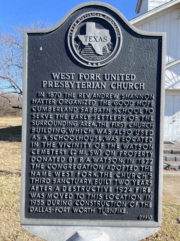
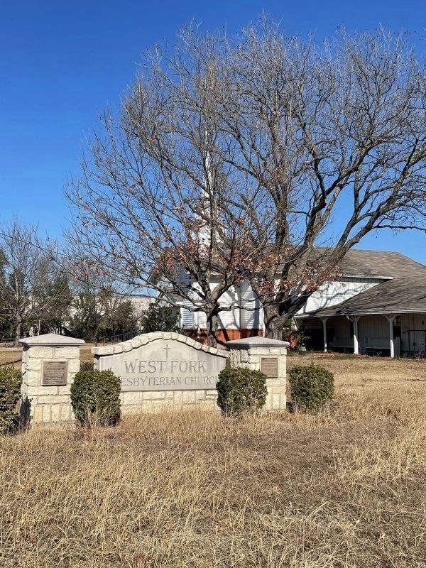
West Fork United Presbyterian Church
In 1870 the Rev. Andrew Shannon Hayter organized the Good Hope Cumberland Sabbath School to serve the early settlers of the surrounding area. The first church building, which was also used as a schoolhouse, was located in the vicinity of the Watson Cemetery (2 mi. SW) on property donated by P.A. Watson. In 1872 the congregation adopted the name West Fork. The church's third sanctuary, built two years after a destructive 1924 fire, was moved to this location in 1955 during construction of the Dallas-Fort Worth Turnpike.
Erected 1982 by Texas Historical Commission. (Marker Number 5760.)
Topics. This historical marker is listed in these topic lists: Churches & Religion • Education • Settlements & Settlers. A significant historical year for this entry is 1872.
Location. 32° 46.478′ N, 97° 3.112′ W. Marker is in Grand Prairie, Texas, in Tarrant County. Marker is on Santerre Road east of 109th Street, on the left when traveling east. Touch for map. Marker is at or near this postal address: 602 Santerre Road, Grand Prairie TX 75050, United States of America. Touch for directions.
Other nearby markers. At least 8 other markers are within 3 miles of this marker, measured as the crow flies. Ford Cemetery (approx. 0.4 miles away); P.A. Watson Cemetery (approx. 1.1 miles away); Narrow Gauge Railway (approx. 1.7 miles away); Site of Arlington Downs Racetrack (approx. 2.1 miles away); Arlington Downs Racetrack and Fountain (approx. 2.3 miles away); Shady Grove Cemetery (approx. 2.7 miles away); Jesse Chisholm (approx. 2.9 miles away); Site of Bird's Fort (approx. 2.9 miles away). Touch for a list and map of all markers in Grand Prairie.
Credits. This page was last revised on January 18, 2022. It was originally submitted on January 18, 2022, by J Frye of Fort Worth, Texas. This page has been viewed 344 times since then and 63 times this year. Photos: 1, 2, 3. submitted on January 18, 2022, by J Frye of Fort Worth, Texas. • J. Makali Bruton was the editor who published this page.


