Mont Belvieu in Chambers County, Texas — The American South (West South Central)
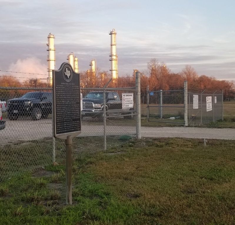
Barbers Hill Oil Field
The United Petroleum Co. No. 1 Fisher, drilled in 1918, produced 70 barrels a day, the field's first oil in commercial quantities. Drilling resumed in 1926, when the Mills Bennett Production Co. and the Humphreys Corp brought in the A.E. Barber No. 1, yielding 500 barrels a day. The success later that year of their B-2 Kirby, reaching a depth of 4,174 ft., triggered a leasing campaign and launched a period of rapid expansion which lasted until the late 1930s.
Rows of oil derricks and tent dwellings were a common sight during the boom. As the population of the community grew, oil money helped upgrade and enlarge school facilities. By 1977, the local economy had shifted from production to storage of petroleum.
Erected 1977 by Texas Historical Commission . (Marker Number 9081.)
Topics. This historical marker is listed in these topic lists: Education • Industry & Commerce. A significant historical year for this entry is 1889.
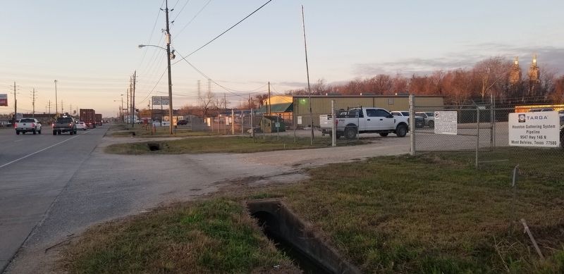
Location. 29° 49.932′ N, 94° 53.779′ W. Marker is in Mont Belvieu, Texas, in Chambers County. Marker is on State Highway 146, 0.2 miles north of Sun Oil Road, on the left when traveling north. The marker is located along the highway. Touch for map. Marker is at or near this postal address: 9549 TX-146, Baytown TX 77523, United States of America. Touch for directions.
Other nearby markers. At least 8 other markers are within 6 miles of this marker, measured as the crow flies. Amos Barber Homesite and Cemetery (approx. 1.2 miles away); First United Methodist Church and Cemetery of Mont Belvieu (approx. 1.3 miles away); First United Methodist Church of Mont Belvieu (approx. 2˝ miles away); Near Home Site of John Peter Sjolander (approx. 3.2 miles away); Henry and Amelia Griffith (approx. 4 miles away); Hartman Cemetery (approx. 4.8 miles away); Old River (approx. 4.9 miles away); St. Emily Methodist Church (approx. 5.1 miles away). Touch for a list and map of all markers in Mont Belvieu.
Also see . . . Barbers Hill Oilfield.
In addition to yielding oil and natural gas, the field has in more recent years served as an underground storage facility. Man-made caverns have been carved from the huge salt dome to store liquid propane gas for the area's numerous refineries. On November 5, 1985, an explosion killed two workers and threatened Mont Belvieu, thus redoubling efforts of local residents to force the petrochemical industries to buy out homes in the immediate vicinity so residents can move elsewhere. Source: The Handbook of Texas(Submitted on January 21, 2022, by James Hulse of Medina, Texas.)
Credits. This page was last revised on January 21, 2022. It was originally submitted on January 21, 2022, by James Hulse of Medina, Texas. This page has been viewed 392 times since then and 57 times this year. Photos: 1, 2, 3. submitted on January 21, 2022, by James Hulse of Medina, Texas.


