Laurel in Yellowstone County, Montana — The American West (Mountains)
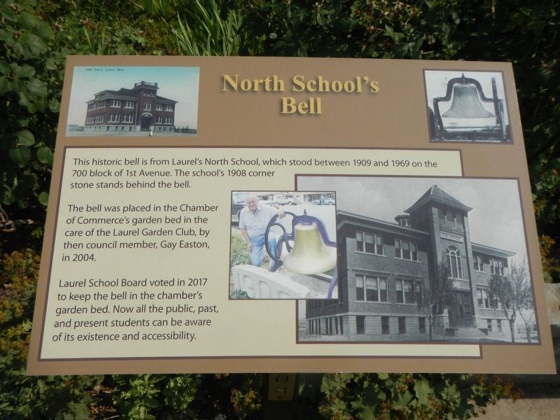
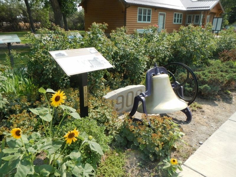
North School's Bell
The bell was placed in the Chamber of Commerce's garden bed in care of the Laurel Garden Club, by then council member, Gay Easton, in 2004
Laurel School Board voted in 2017 to keep the bell in the chamber's garden bed. Now all the public, past and present students can be aware of its existence and accessibility.
Erected by Laurel Chamber of Commerce.
Topics. This historical marker is listed in this topic list: Education.
Location. 45° 40.158′ N, 108° 46.227′ W. Marker is in Laurel, Montana, in Yellowstone County. Marker is on East Main Street (Old U.S. 10) near 1st Avenue, on the left when traveling west. Touch for map. Marker is at or near this postal address: 108 East Main Street, Laurel MT 59044, United States of America. Touch for directions.
Other nearby markers. At least 8 other markers are within 8 miles of this marker, measured as the crow flies. The Yellowstone Trail (a few steps from this marker); Lewis & Clark expedition July 24, 1806 (a few steps from this marker); The Battle at Canyon Creek (a few steps from this marker); Historical Downtown Laurel (a few steps from this marker); Chamber Log Cabin (a few steps from this marker); Abraham and Carrie Erb Residence (approx. 0.3 miles away); Battle of Canyon Creek (approx. 7˝ miles away); Nez Perce National Historical Park (approx. 7˝ miles away). Touch for a list and map of all markers in Laurel.
Credits. This page was last revised on January 22, 2022. It was originally submitted on January 22, 2022, by Barry Swackhamer of Brentwood, California. This page has been viewed 106 times since then and 22 times this year. Photos: 1, 2. submitted on January 22, 2022, by Barry Swackhamer of Brentwood, California.

