La Verne in Los Angeles County, California — The American West (Pacific Coastal)
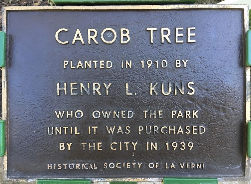
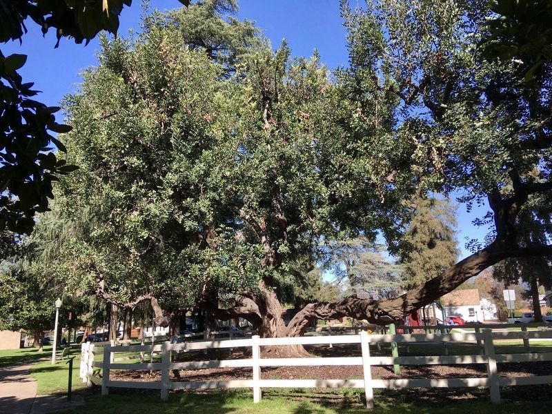
Carob Tree
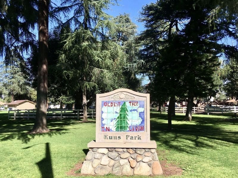
Kuns Park
Erected by Historical Society of La Verne.
Topics. This historical marker is listed in these topic lists: Horticulture & Forestry • Settlements & Settlers. A significant historical year for this entry is 1910.
Location. 34° 6.249′ N, 117° 46.677′ W. Marker is in La Verne, California, in Los Angeles County. Marker is at the intersection of Bonita Avenue and Magnolia Avenue, on the left when traveling east on Bonita Avenue. Touch for map. Marker is at or near this postal address: 1600 Bonita Ave, La Verne CA 91750, United States of America. Touch for directions.
Other nearby markers. At least 8 other markers are within walking distance of this marker. J.M. Johnson Home (about 300 feet away, measured in a direct line); Henry L. Kuns Home (about 300 feet away); Lomeli Adobe (about 700 feet away); Lordsburg Townsite (approx. half a mile away); The Meredith Home (approx. half a mile away); The Haugh Residence (approx. 0.6 miles away); The David Blickenstaff Home (approx. 0.7 miles away); A.J. Milne Home (approx. 0.7 miles away). Touch for a list and map of all markers in La Verne.
Credits. This page was last revised on January 30, 2023. It was originally submitted on January 23, 2022, by Craig Baker of Sylmar, California. This page has been viewed 336 times since then and 43 times this year. Photos: 1, 2, 3. submitted on January 23, 2022, by Craig Baker of Sylmar, California.


