Lower Township near Cape May in Cape May County, New Jersey — The American Northeast (Mid-Atlantic)
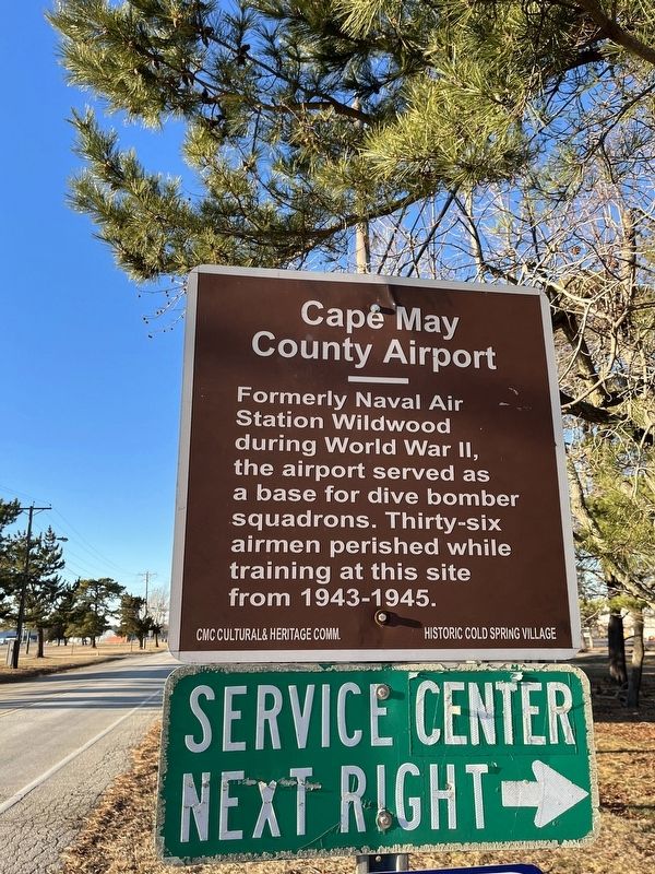
Cape May County Airport
Erected by CMC Cultural & Heritage Comm.; Historic Cold Spring Village.
Topics. This historical marker is listed in these topic lists: Air & Space • Education • War, World II. A significant historical year for this entry is 1943.
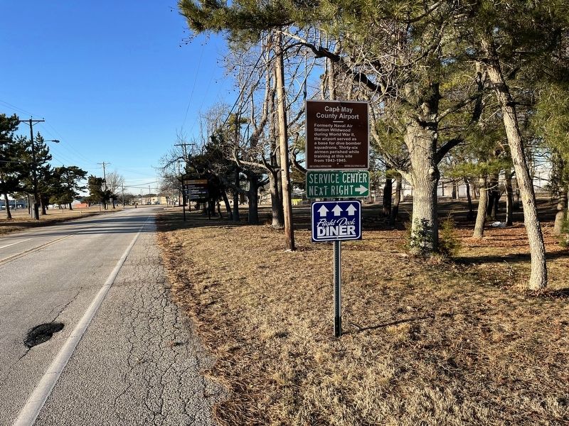
Location. 39° 0.091′ N, 74° 54.566′ W. Marker is near Cape May, New Jersey, in Cape May County. It is in Lower Township. Marker is on Lexington Road, 0.1 miles north of Breakwater Road (County Road 613), on the right when traveling north. Touch for map. Marker is at or near this postal address: 415 Breakwater Rd, Cape May NJ 08204, United States of America. Touch for directions.
Other nearby markers. At least 8 other markers are within 2 miles of this marker, measured as the crow flies. Vietnam Veterans Memorial (approx. 0.2 miles away); Ens. Andrew P. Hamilton (approx. 0.3 miles away); Ens. Leonard R. Volpi (approx. 0.3 miles away); Atlantic City Railroad - Cape May Division (approx. 1.4 miles away); Cold Spring Grange Hall (approx. 1.7 miles away); Tulip Poplar (approx. 1.7 miles away); Welcome to the Nature Trail at Bradner's Trail (approx. 1.7 miles away); Southern Red Oak (approx. 1.7 miles away). Touch for a list and map of all markers in Cape May.
Credits. This page was last revised on February 7, 2023. It was originally submitted on January 25, 2022, by Devry Becker Jones of Washington, District of Columbia. This page has been viewed 89 times since then and 12 times this year. Photos: 1, 2. submitted on January 25, 2022, by Devry Becker Jones of Washington, District of Columbia.

