Yankton in Yankton County, South Dakota — The American Midwest (Upper Plains)
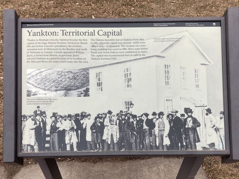
Yankton: Territorial Capital
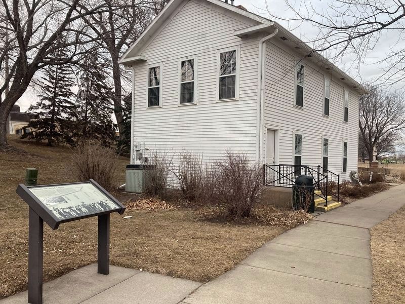
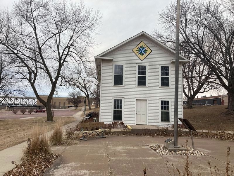
The Dakota Assembly met in Yankton from 1862 to 1883, when the capital was moved-amid some controversy—to Bismarck. The modest, two story frame building was razed in 1886, three years before South and North Dakota were established as states. The capitol was reconstructed here in 1988 by the Yankton Sertoma Club.
Captions:
The first capitol stood just north of here at Capitol and Fourth streets.
This view of Yankton, circa 1875, shows steamboats and the railroad, which sparked Yankton's development.
Erected by National Park Service, Department of the Interior; Department of Parks and Recreation, City of Yankton.
Topics. This historical marker is listed in this topic list: Government & Politics. A significant historical month for this entry is March 1861.
Location. 42° 51.998′ N, 97° 23.459′ W. Marker is in Yankton, South Dakota, in Yankton County. Marker is on Park Drive near Levee Street, on the left when traveling east. The marker is located in Riverside Park. Touch for map. Marker is in this post office area: Yankton SD 57078, United States of America. Touch for directions.
Other nearby markers. At least 8 other markers are within walking distance of this marker. Yankton Riverboats (within shouting distance of this marker); The Lewis & Clark Expedition (about 600 feet away, measured in a direct line); The Great Missouri River (about 600 feet away); Meridian Bridge Connects Continent from North to South (approx. 0.2 miles away); William H. McMaster (approx. 0.2 miles away); Crossroads of Culture (approx. 0.2 miles away); USS Scorpion (SS-278) (approx. 0.2 miles away); Flood of 1881 Leaves Lost Settlements in its Wake (approx. ¼ mile away). Touch for a list and map of all markers in Yankton.
Credits. This page was last revised on January 28, 2022. It was originally submitted on January 27, 2022, by Connor Olson of Kewaskum, Wisconsin. This page has been viewed 238 times since then and 44 times this year. Photos: 1, 2, 3. submitted on January 27, 2022, by Connor Olson of Kewaskum, Wisconsin. • J. Makali Bruton was the editor who published this page.


