Hatteras in Dare County, North Carolina — The American South (South Atlantic)
Storm Watch
— Cape Hatteras National Seashore —
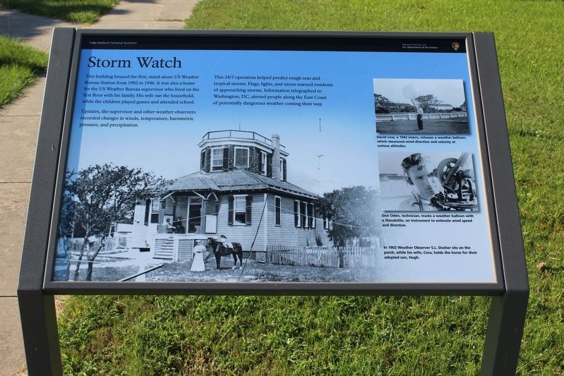
Upstairs, the supervisor and other weather observers recorded changes in the winds, temperature, barometric pressure, and precipitation.
This 24/7 operation helped predict rough seas and tropical storms. Flags, lights, and sirens warned residents of approaching storms. Information telegraphed to Washington, DC, alerted people along the East Coast of potentially dangerous weather coming their way.
(captions)
David Low, a 1942 intern, releases a weather balloon, which measured wind direction and velocity at various altitudes.
Don Oden, technician, tracks a weather balloon with a theodolite, an instrument to estimate wind speed and direction.
1902 Weather Observer S.L. Dosher sits on the porch, while his wife, Cora, holds the horse for their adopted son, Hugh
Erected by U.S. Department of the Interior, National Park Service, Wright Brothers National Memorial.
Topics. This historical marker is listed in this topic list: Notable Buildings. A significant historical year for this entry is 1902.
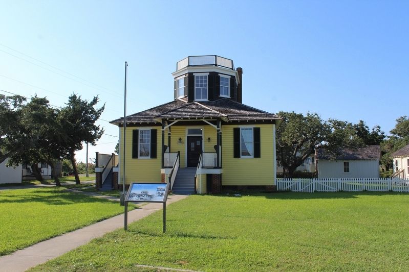
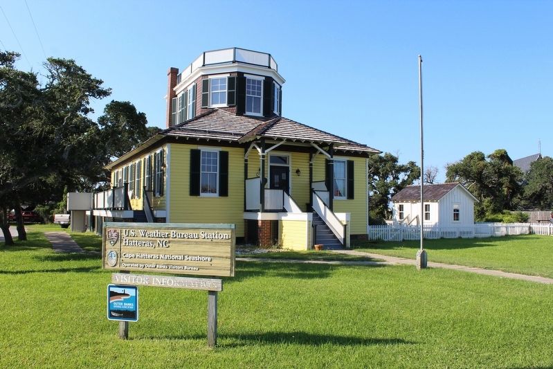
Location. 35° 13.21′ N, 75° 41.415′ W. Marker is in Hatteras, North Carolina, in Dare County. Marker is at the intersection of Kohler Road (County Highway 1237) and Saxon Cut Drive (County Highway 1340), on the left when traveling north on Kohler Road. Marker is located in front of the Outer Banks Visitors Bureau / U.S. Weather Bureau Station. Touch for map. Marker is at or near this postal address: 57190 Kohler Road, Hatteras NC 27943, United States of America. Touch for directions.
Other nearby markers. At least 8 other markers are within 2 miles of this marker, measured as the crow flies. America's 1st Attempt at Civil War Reunification (a few steps from this marker); U.S.S. Monitor (approx. 0.6 miles away); Billy Mitchell (approx. 0.7 miles away); Welcome to Hatteras Village (approx. one mile away); Island Veterans of the Civil War / America's 1st Amphibious Assault of the Civil War (approx. one mile away); Welcome to captivating Hatteras Island… (approx. 1.1 miles away); Confederate Forts (approx. 1.1 miles away); Propeller From USS Dionysus (approx. 1.2 miles away). Touch for a list and map of all markers in Hatteras.
Also see . . . The US Weather Bureau on Hatteras Island. National Park Service (Submitted on January 30, 2022.)
Credits. This page was last revised on January 30, 2022. It was originally submitted on January 30, 2022, by Tom Bosse of Jefferson City, Tennessee. This page has been viewed 139 times since then and 15 times this year. Photos: 1, 2, 3. submitted on January 30, 2022, by Tom Bosse of Jefferson City, Tennessee. • Bernard Fisher was the editor who published this page.


