Falls Church, Virginia — The American South (Mid-Atlantic)
Falls Church High School (FCHS) Site
S. Cherry St. at Hillwood Ave.
Inscription.
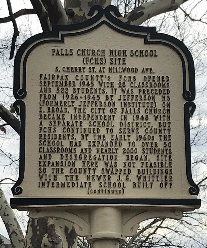
Fairfax County's FCHS opened September 1945 with 28 classrooms and 522 students. It was preceded from 1926-1945 by Jefferson HS (formerly Jefferson Institute) on E. Broad. The City of Falls Church became independent in 1948 with a separate school district, but FCHS continued to serve County residents. By the early 1960s the school had expanded to over 50 classrooms and nearly 2000 students and desegregation began. Site expansion here was not feasible so the County swapped buildings with the newer J.G. Whittier Intermediate School built off
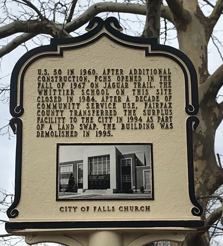
U.S. 50 in 1960. After additional construction, FCHS opened in the fall of 1967 on Jaguar Trail. The Whittier School on this site closed in 1984. After a decade of community service use, Fairfax County transferred the surplus facility to the City in 1994 as part of a land swap. The building was demolished in 1995.
Erected 2020 by City of Falls Church; funding provided by Falls Church High School alumni.
Topics. This historical marker is listed in this topic list: Education. A significant historical year for this entry is 1945.
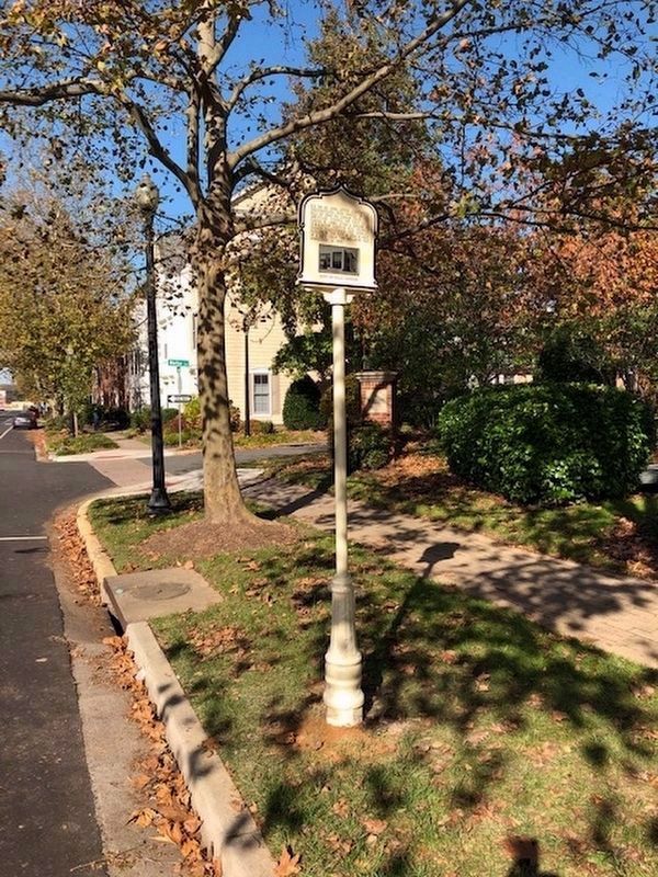
Location. 38° 52.675′ N, 77° 10.137′ W. Marker is in Falls Church, Virginia. Marker is at the intersection of Hillwood Avenue (Virginia Route 338) and Whittier Circle, on the right when traveling west on Hillwood Avenue. Original Falls Church High School property covered much of block (now developed with town houses) between Hillwood Ave. and S. Cherry St., with main entrance of school building originally on S. Cherry Street. Touch for map. Marker is at or near this postal address: 401 Hillwood Ave, Falls Church VA 22046, United States of America. Touch for directions.
Other nearby markers. At least 8 other markers are within walking distance of this marker. The Birch House (approx. 0.2 miles away); Jefferson Institute (approx. 0.2 miles away); Turnpike Tollgate (approx. 0.2 miles away); Presbyterian Church (approx. 0.2 miles away); Wren’s Tavern (approx. 0.2 miles away); Harriet and George Brice (approx. 0.2 miles away); Columbia Baptist Church (approx. ¼ mile away); Henry Fairfax (approx. ¼ mile away). Touch for a list and map of all markers in Falls Church.
Credits. This page was last revised on February 6, 2022. It was originally submitted on February 5, 2022, by Ronald D Anzalone of Falls Church, Virginia. This page has been viewed 288 times since then and 45 times this year. Photos: 1, 2, 3. submitted on February 5, 2022, by Ronald D Anzalone of Falls Church, Virginia. • Bernard Fisher was the editor who published this page.


